The Heat Goes On, Same With Storm Chances
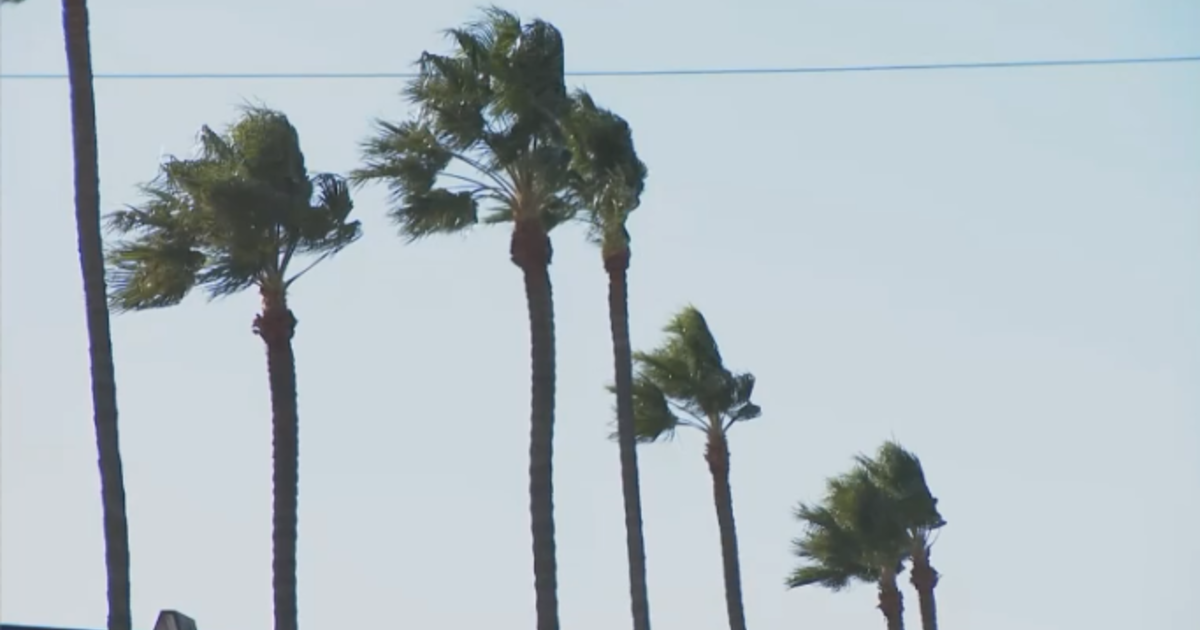
Yesterday afternoon, clouds filled the skies over the Metroplex from storms that fired over the western half of North Texas. While the storms fizzled out over the Metroplex, they left cloud cover last night that has now finally dissipated and is making way for abundant sunshine. The cloud cover kept our Father's Day high temperature at 91 degrees. Today we'll top out at 94 degrees. Also, winds are expected to pick up to 15-25 mph from the south/southeast – a flow that helps to keep our humidity high in North Texas.
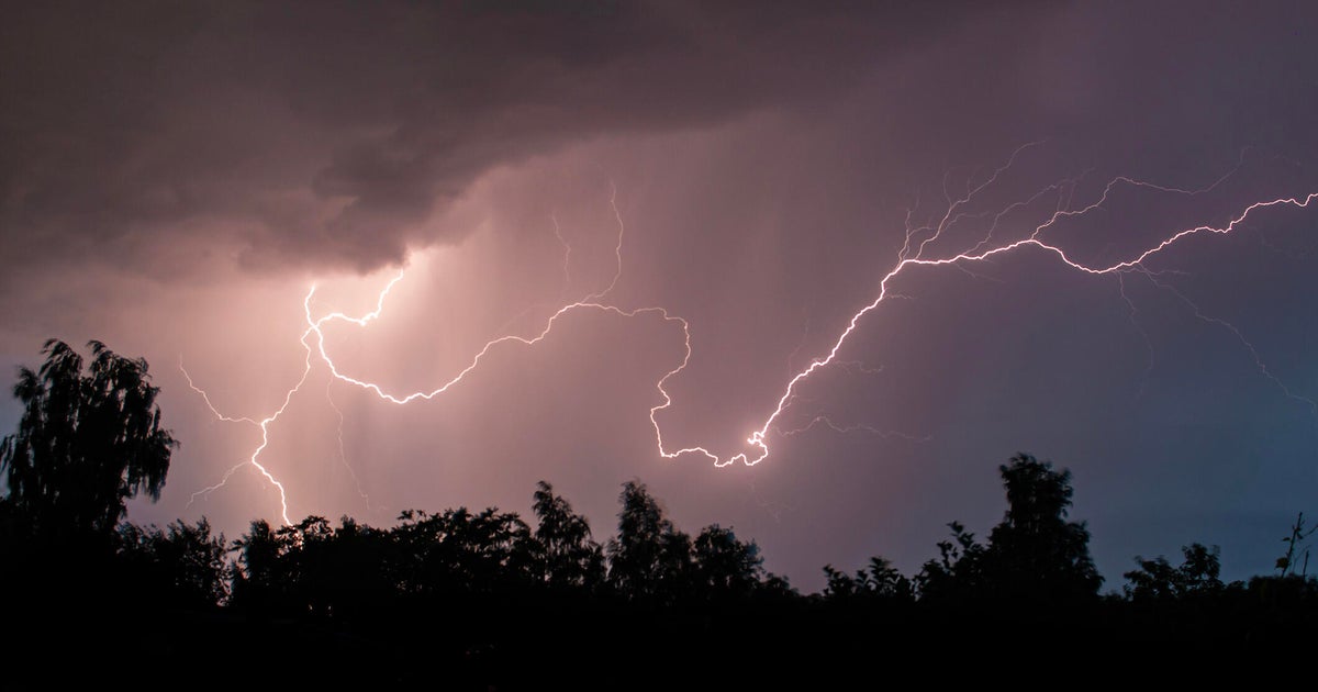
The forecast focus over the next three days will be on a relatively unorganized system and broad circulation in the Gulf of Mexico and over southern parts of Texas. As it drifts to the west into Mexico, it will bring heat of the day showers and storms. Each day the storm chances are relatively low, but storms that develop could become severe with hail and wind damage potential. But, the bigger concern will be the locally heavy rainfall and lightning. The storm window would be 4pm-8pm each day.
On Thursday, the storm chances are for the southern third of North Texas. Ultimately, the energy grinds to a halt in Mexico and South Texas and drifts back eastward into the Gulf without producing much weather. If anything erupts, it will be in South Texas. From Friday into the weekend, it looks sunny, hot and dry with highs in the middle 90s.
