Storm chances linger as North Texans return to school
Early Tuesday morning, from about 3:30 a.m. to around 5 a.m., heavy rain inundated Jack County. A series of flood warnings were issued as some areas reported over 4" of rain in that short time.
This happened over a large swath of the county, plus northern Palo Pinto County. This event happened about 50 miles from downtown Fort Worth.
The Clausius-Clapeyron equation is about 190 years old. It shows the exponential relationship between air temperature and how much water vapor it can hold. In the heart of August, the air is about as warm as it'll get all year long.
We live in the Northern Coastal Plain, and our weather is often a result of our proximity to the Gulf. The Gulf is one of the warmest water bodies in the world in total latent heat capacity, and over the last 20 years, it has been getting warmer because of climate change.
In short, warm air holds more water vapor. Around North Texas, most of that water vapor comes from a warming Gulf. Slow-moving thunderstorms like the one Tuesday morning can produce staggering amounts of rain in a short period.
Even in North Texas, in the "slow" weather of summer, the threat of weather tragedy can suddenly arise. Think of the Guadalupe River on the Fourth of July. What if Tuesday morning's torrential rain didn't fall over Jack County, total population 9,398 (2024), but was a mere 50 miles southeast and fell over the middle of Tarrant County (population 2.23 million)? There would have been a completely different outcome.
The point? Even when there isn't much weather around, weather can still turn deadly. Please keep close to your phone and our CBS News app, as it can warn you if a flood warning has been issued for your area. Tuesday morning was a warning shot. Kids were going back to school. It could have been bad.
Like Tuesday, storms from the overnight could drift in from the northwest in the early morning. Watch for those.
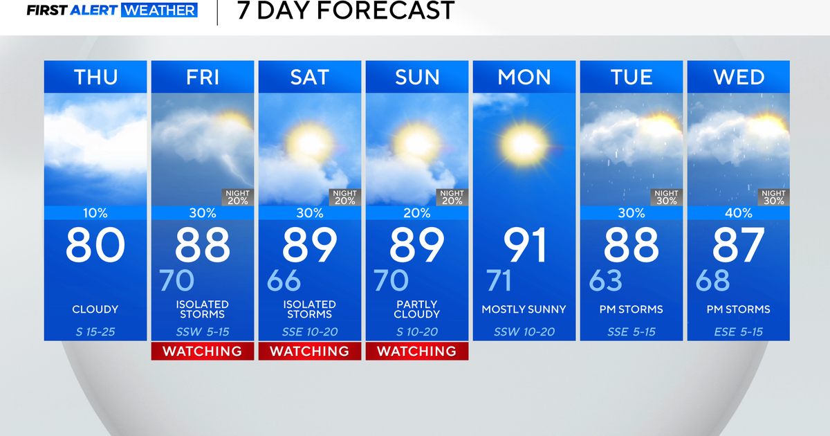
Afternoon storms will again gather up in the afternoon heating. Heavy rain, gusty winds and lightning are likely from these storms. Temperatures will again be kept in check. Expect another day of below normal temperatures.
Rain chances start to taper back on Thursday. Heat Advisories are expected Friday and Saturday, before more rain chances show up starting on Sunday.
The summer heat just can't get a lock on north Texas this summer (only three 100° days so far). Not one is complaining.
The First Alert Weather team is watching Tropical Storm Erin in the Atlantic, which is destined to be the first hurricane of the season. The hope is it's like Erin almost 25 years ago, a major hurricane that stayed out in open water and away from the U.S. coastline.


