Severe Weather Risk Late Tonight
You have likely heard about a baseball game tonight in Arlington. The Texas Rangers begin their 3-game home stand in the World Series and there is some weather to be concerned about.
Right now I am favoring a good chance that the game stays dry. The later the game goes the more the threat of storms however as we are expecting a complex of storms to develop this evening just north of the Red River and dive into north Texas overnight. When storms get going they start to produce outflow boundaries which start to trigger storms ahead of them.
The chance for rain at the game tonight is not zero, not when you have a Severe Thunderstorm Watch box one county away to your north:
SEVERE WEATHER RISK LATE TONIGHT
Here is one of the short-range forecast models we use showing a complex of thunderstorms (an MCS) forming tonight in southern Oklahoma. The thinking by the Storm Prediction Center is that these storms could produce damaging hail and high winds as they make their way into north Texas late tonight.
We'll keep on our post through the night here at the CBS 11 Weather Center. When this complex crosses the state line it'll likely be producing thunderstorm warnings. We are not expecting a tornado threat with these storms but large hail and damaging winds are possible. Below shows the risk of large hail (3/4" or larger) with this event tonight, the metro area has a 15% chance of getting hit with some.
SUNDAY
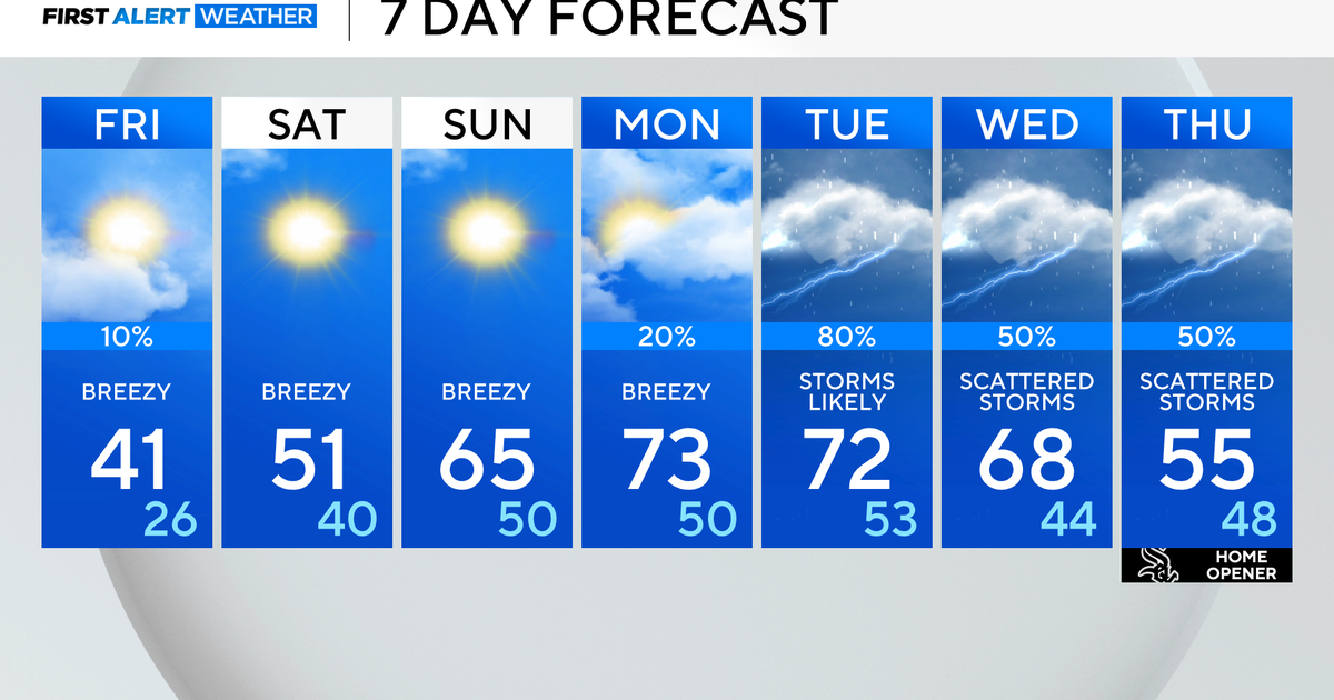
It appears that this severe weather event will be happening late tonight in the overnight hours. There is a chance of rain in the morning tomorrow, it will be moving east of the metro area as the morning wears on. By afternoon the sun should come out and temperatures warm into the low-80's. Tomorrow night it'll be a perfect night for baseball in Texas, temperatures will be in the upper 70's, there will be a nice southeast wind 5-10mph. Wonderful.
MONDAY AND TUESDAY DRY AND WARM
Highs on Monday will reach into the mid-80 with mostly sunny skies. It'll be another great night for baseball as well with Game 5 first pitch temperatures around 80°. On Tuesday it'll be close to 90° in the afternoon, very warm weather for this time of year. The winds will start to pick up that afternoon, out of the southwest at 15-25mph. There is a cold front coming in mid-week and this one is going to give us a very cold, wet, windy Thursday.
WEDNESDAY COMES THE COLD FRONT
The forecast models now suggest another 80° plus day on Wednesday. The front should arrive sometime in the afternoon and start to cool us down. Winds are going to really pick up that night out of the northwest as rain moves in. Thursday has all the markings of a cold dreary day. It could also provide and nice soaking rain which is a pleasant conversation in a drought year. That said, highs will only reach into the upper 50's, the coldest day since early May. We don't even have 50's in the forecast AS MORNING LOWS till then. Those cold temperatures will be teamed with brutal north winds that could be gusting well over 30mph. Gads.
COOLER END TO THE WORK WEEK INTO WEEKEND
Highs on Friday and Saturday should only be in the 60's as we start to dry out and winds die down. Overnight lows will get down to the low 40's in the metro area, in the mid-30's in counties outside the big D. The weekend coming up looks dry and mild, highs on Sunday should get back into the 70's.
