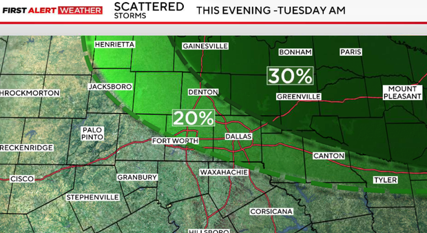
Stormy start for parts of North Texas early Monday morning gives way to isolated afternoon storm chances


Another disturbance may trigger scattered showers and thunderstorms Monday evening into Tuesday morning. The highest rain chances will be near and north of I-20.
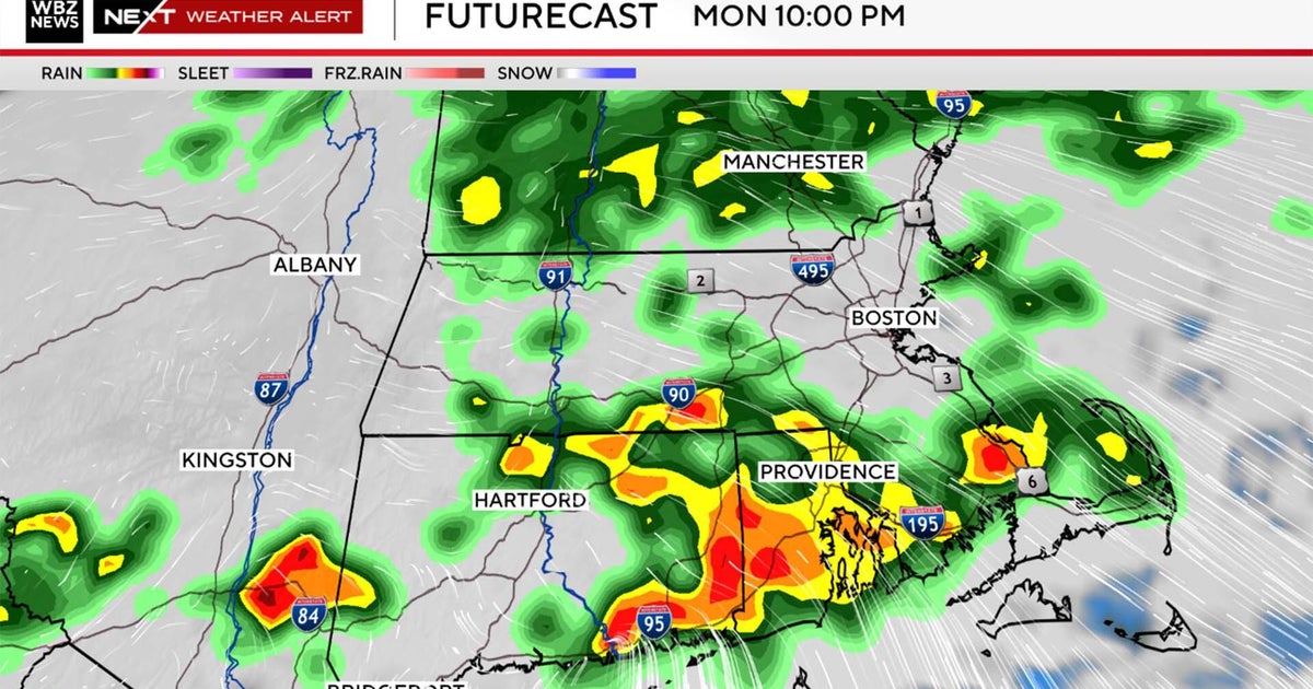
Monday night rain chances
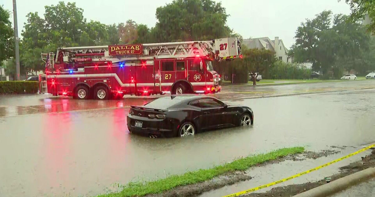
While widespread flooding is not expected, any storm that repeatedly moves over the same location could produce brief heavy rainfall and localized flooding concerns, particularly across northeastern counties.
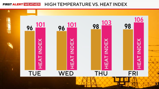
The active storm pattern will gradually shift northward during the second half of the week, allowing temperatures to climb. Heat index values will exceed 100 degrees in many locations, with Heat Advisories becoming increasingly possible by late week and into the upcoming weekend.
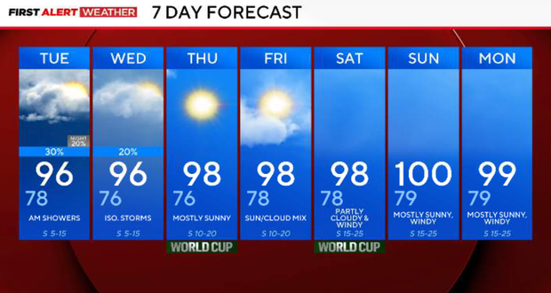
Tuesday, additional showers and thunderstorms remain possible during the morning hours across North Texas. By afternoon, temperatures climb back into the mid-90s with heat index values near or above 100 degrees.
A few lingering storm chances remain possible on Wednesday, particularly across northern counties. Otherwise, hotter and more humid conditions continue with highs in the mid-90s.
End of the week storm chances
The active storm pattern begins shifting northward into the Central Plains. Rain chances decrease significantly while temperatures climb into the mid and upper 90s.
Heat index values above 100 degrees are expected.
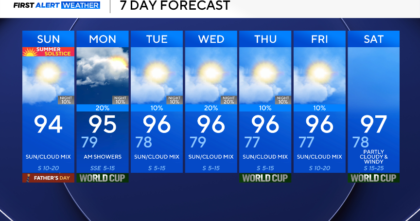
The hottest stretch of weather so far this summer may arrive by next weekend. High temperatures will approach 100 degrees in some locations, and Heat Advisories may become necessary as humidity remains elevated.