Line of storms moving across North Texas this afternoon

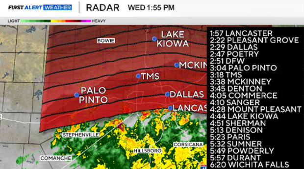
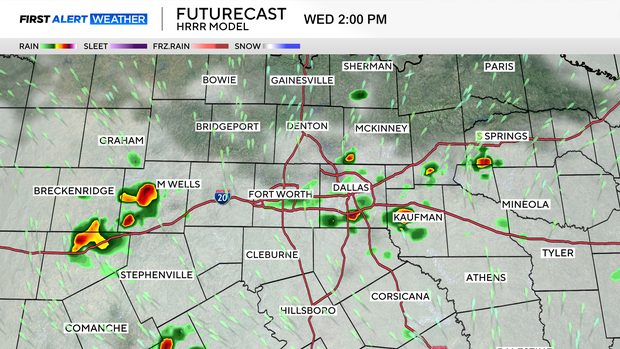
A line of storms is moving across North Texas this afternoon.
The line is pushing North at 20-30 mph.
Storms are non-severe, but we will see some heavy rain pockets, so localized flooding is possible.
Storms will last for about an hour (2 p.m.-3 p.m.) in the Metroplex.
ORIGINAL STORY
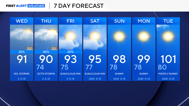
We woke up Wednesday morning to temperatures in the 70s with a mix of sun and clouds. Our forecast remains similar to what it has been the last couple of days: hot & humid with isolated thunderstorms developing as early as the afternoon.
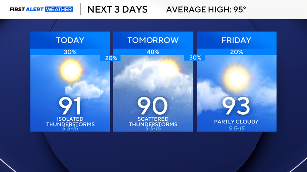
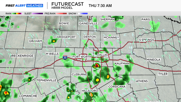
We'll see our storm chances continue on Thursday, and some showers and rumbles may build in as early as the back half of the morning commute. By Friday, we have a 20% chance of a lingering shower or rumble before we start to dry out and quickly heat right back up!
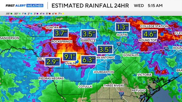
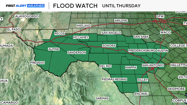
The Texas Hill Country is still experiencing heavy rainfall, leading to flooding. Up to 10" of rain has fallen over the last 24 hours, and up to 6"+ of rain will still be possible over the next couple of days.
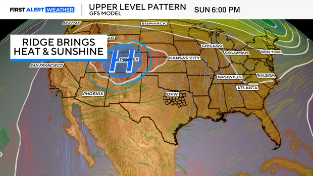
Here at home in Dallas-Fort Worth, a ridge of high pressure will build this weekend, bringing temperatures back up into the triple digits by early next week.