North Texas Had Its Own 'Derecho' in 2007
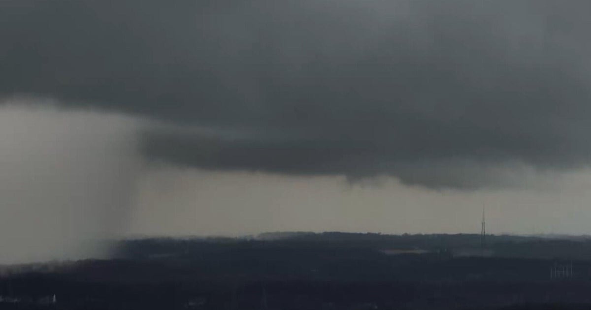
The terrible line of thunderstorms that started in the Midwest and slammed through the Mid-Atlantic states on Friday is called a "derecho". That's a Spanish word meaning "straight". A derecho is a long-lasting complex of thunderstorms that often can produce straight-line winds up to 80 or 90 mph and do so over long distances.
North Texas dealt with a derecho in 2007...that caused considerable damaged and blew through Arlington during a Texas Rangers - New York Yankees game.
Here's more from the National Weather Service:
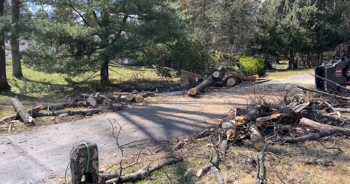
A high wind event, or derecho, struck north Texas during the evening hours of May 2, 2007. Damaging winds marched across much of north Texas, with several reports of 80 mph winds from the Metroplex eastward. In the metro area alone, over 300,000 people lost power as powerlines succumbed to the fierce winds. 90-100 mph winds were estimated as the storms moved through Kaufman County. Across north Texas, numerous trees were downed, roofs and metal buildings sustained damages, and several trailers were rolled.
What is a derecho?
A derecho is a widespread and long-lived windstorm that is associated with a fast-moving band of showers and thunderstorms. The name is a Spanish word which means "direct" or "straight".
For more information on derechos, visit http://www.spc.noaa.gov/misc/AbtDerechos/derechofacts
Atmospheric Conditions...
A moist and unstable atmosphere had been in place across the region for several days. By the afternoon hours, temperatures warmed into the mid to upper 70s, with dewpoints ranging from 67-69F. A potent upper level storm system lifted out of New Mexico and into west Texas, providing large scale lift across the region.
Ahead of the upper storm system, two areas of enhanced lift helped trigger clusters of strong to severe thunderstorms during the afternoon.
Severe Weather Marches Across Texas...
Two complexes of severe thunderstorms developed across western and south central Texas. These complexes, also known as Mesoscale Convective Systems, were likely driven, in part, by bands of stronger winds aloft in the mid levels of the atmosphere.
A small line of thunderstorms, oriented west to east, developed out ahead of the thunderstorm complex approaching Dallas/Fort Worth. These small thunderstorms quickly became mini-supercells, or rotating storms capable of producing tornadoes. Several reports of funnel clouds, as well as a few reports of brief, weak tornadoes were reported in Johnson County, near Cleburne, as well as northern portions of the county, south of Burleson. However, no damage was reported with these tornadoes.
Here is a list of wind reports from north Texas:
Comanche County:
423 PM Estimated 60 mph 8 miles west of Comanche
436 PM Estimated 60 mph Comanche
Bosque County:
523 PM Estimated 80 mph Meridian
Hood County:
548 PM Measured 58 mph Granbury
Johnson County:
548 PM Estimated 80+ mph 3 miles south of Godley
605 PM Estimated 80 mph Cleburne
625 PM Measured 60 mph Cleburne
Tarrant County:
620 PM Estimated 75 mph 2 miles south of Benbrook
645 PM Estimated 60 mph 3 miles south of Keller
651 PM Measured 60 mph Arlington Airport
Dallas County:
654 PM Measured 66 mph Lockheed Martin (Grand Prairie)
714 PM Measured 61 mph Dallas Executive Airport
Collin County:
730 PM Estimated 75, Gust to 80 mph Plano
731 PM Measured 68 mph Plano
803 PM Measured 71 mph McKinney Airport
Kaufman County:
730 PM Estimated 90-100 mph Terrell
Henderson County:
740 PM Estimated 80-100 mph 1 mile southwest of Payne Springs
Hopkins County:
846 PM Measured 59 mph Sulphur Springs
Milam County:
900 PM Estimated 70+ mph Rockdale