Nice Start to October
COOL NIGHTS, WARM DAYS
Just as we turned the calendar over to the very fall-sounding month of October, fall nights have been the rule. Overnight lows will again drop down toward the mid-50's in the urban areas, in the upper 40's in the Red River counties and low 50's in elsewhere. These are the coolest nights we've enjoyed since last spring. Clear skies and only a slight hint of a southeast wind tonight.
A GREAT RUN OF WEATHER TO START OCTOBER…UNLESS YOU WANT RAIN
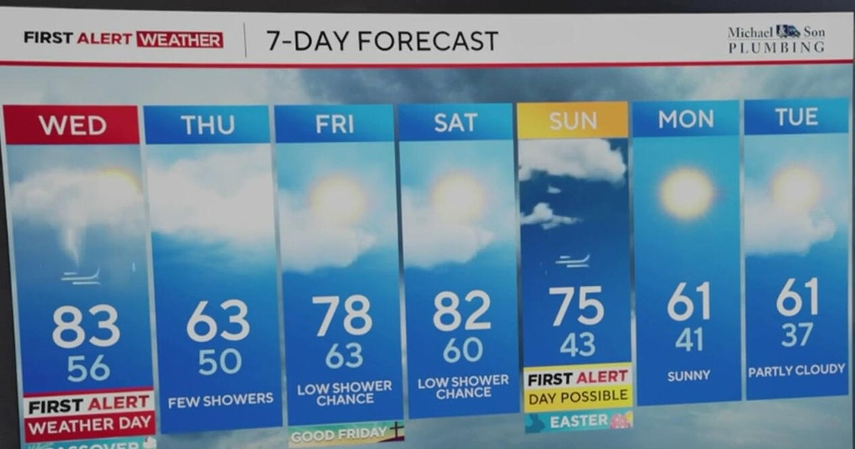
Dry and mild weather will dominate the forecast for the upcoming workweek. We expect the daytime highs tomorrow in the upper 80's with sunny skies. Same forecast for Tuesday. A few clouds on Wednesday and Thursday but again, very nice and in the upper 80's. The winds will pick up from the south on Friday, a breezy day (and a possible Fire Watch) with highs around 90 degrees.
RAIN IN THE FORECAST NEXT WEEKEND…SORT OF
A deep trough will move across the mountain west all week and get into the front range by the end of it. By Saturday strong storms could develop in the panhandle of Texas up through the Midwest. These storms will get into our western counties on Saturday and Sunday. There will be a small chance some of these storms could last long enough to get into the metro area but any forecast this far in advance is destined to be tweaked a few times. We'll keep you posted. Until then enjoy the great October weather. It'll be short on rain but at least absent 100 degree weather. After a record 72 of them in the heat wave of 2011 I believe at last we can say they are gone for the year.
