Morning Flooding, Afternoon Storms
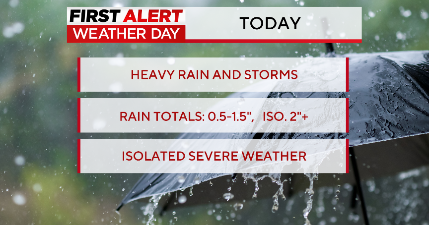
As of 10:00am heavy rain was slowly moving over the eastern half of the Metroplex. Localized flooding was occurring as 2"-3" of rain fell in a short period of time.
The threat of heavy rain will continue into early afternoon. This activity is being triggered by a disturbance in the upper atmosphere that is slowly moving southeast over north Texas. It will help keep storms in the forecast into Monday with a smaller threat on Tuesday:
Temperatures today will be kept in check due to the rain and cloud cover. Even mid-90's is looking like a difficult target for the Metroplex given the slow nature of the storms. We are seeing clearing out to the northwest over Wichita Falls. This will certainly mean much warmer temperatures in our western zones:
The storms will be more numerous south and east of the Dallas/Ft. Worth area by afternoon. These storms will carry a threat of damaging winds and heavy rain:
After the rain chances slip away we are right back to hot and dry conditions. More on the forecast later today at 5:30pm. -Jeff Ray

