HOTTEST SUMMER EVER IN NORTH TEXAS!!!
FIRE DANGER ACROSS NORTH TEXAS…
Winds have helped spread a number of wild fires across North Texas today. Winds have been out of the South and Southeast all day gusting 25 to 30 mph. Any fire that starts quickly spread with the dry vegetation and ground. One of the largest fires to start today was in Wise County south of Bridgeport. Other smaller fires have been reported in many counties around North Texas. Adding to the problem are relative humidities in the 10% to 20% range this afternoon.
HOTTEST SUMMER ON RECORD…
The meteorological summer ends today. When looking at our summer months (June, July and August), the past 92 days we have experienced here in North Texas were the hottest 92 days ever recorded. Here's a look at the numbers…
AVERAGE HIGH TEMPERATURE: 101.2 (2nd Place to 1980 when the Avg High Temp for the summer was 101.6)
AVERAGE LOW TEMPERATURE: 79.9 –This is the warmest Average Low Temperature for a summer period beating the old record of 77.8 set in 1998.
So the AVERAGE TEMPERATURE for the Summer which is an average of all the highs and the lows for the summer turns out to be… 90.6
AVERAGE SUMMER TEMPERATURE: 90.6 -This is the hottest average ever for a summer period. Beating the old record of 89.2 set in 1980. This reading is considered to be the measure to determine the hottest summer.
TRACKING WHAT WILL BE "LEE" IN THE GULF OF MEXICO…
A large disturbance is moving out of the Caribbean into the Gulf of Mexico. All of our computer models generate this into a tropical system over the next couple of days. This would be our L named storm this year… LEE. It looks like Lee will be giving us fits for days and days as there is absolutely no consensus on when it will develop or where it will go. One thing that all models do is keep Lee in the Gulf of Mexico for several days after it forms before moving it. The GFS model develops Lee south of New Orleans in the Central Gulf of Mexico on Friday or Saturday then have it drifting toward the Louisiana coastline this weekend. By Monday of next week it is still sitting just off the coast of Alabama before slowly lifting into Alabama and Georgia on Tuesday of next week. The European model also develops Lee in the central Gulf and then drift it toward Texas on Saturday and then have it wandering around off the Texas coast from Saturday thru Wednesday of next week! Then by next Thursday it has it drifting north with a landfall along the upper Texas Coast. So this storm will be cause of much frustration trying to figure out where this thing might go. The impacts from Lee appear to be minimal for us here in North Texas. All the Gulf moisture will be wrapped up in this system, so not much will make it this far north. That will limit rain chances for us this weekend. And the only way Lee could help us out with some rain is if the European model verifies and Lee eventually heads north but that wouldn't be until the end of next week.
COLD FRONT STILL COMING…
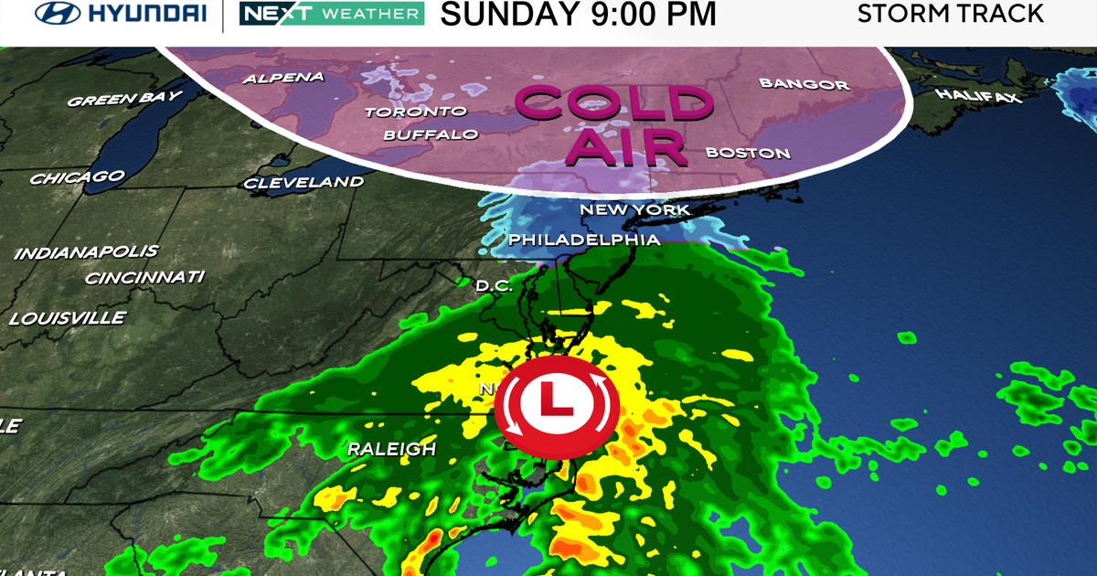
Despite what is going on in the Gulf, a cold front will make it here on Sunday. There will be the slight chance of a few thunderstorms with the front… 20% at best. But behind the front overnight lows will drop into the mid to low 70s for Monday, Tuesday and Wednesday morning of next week and daytime highs will be in the low 90s.


