High Winds, Drenching Rain & Hail Sweep Across North Texas
Follow CBSDFW.COM: Facebook | Twitter
NORTH TEXAS (CBSDFW.COM) - Powerful thunderstorms raged across the metroplex this morning. As it stands, there have been no confirmed tornados, but damage is extensive across six North Texas counties.
High winds, heavy rain and hail pushed across North Texas counties from southwest to northeast. Roadways from Benbrook, west of Fort Worth, to Denton were underwater, leaving some drivers stranded.
Commuter traffic came to a halt on most every major interstate. Traffic backups could be seen for miles on Interstate-35, I-30, Highways 287 and 183 and Highway Loop 820. Just before 9:30 a.m. officials with the Texas Department of Transportation announced that all lanes of southbound Interstate-35 in Alvarado would close because of "severe" damage to a bridge from an earlier 18-wheeler crash.
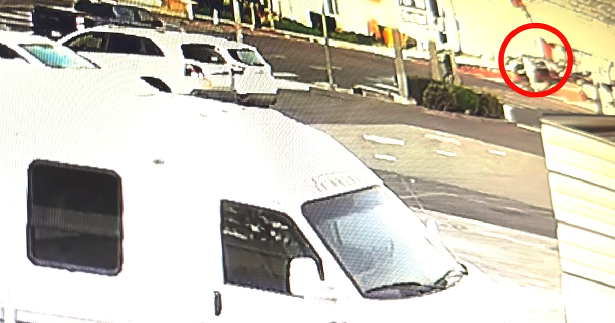
High winds and heavy rain blew off part of a gas station building in Saginaw. The wall was left open and exposed, with insulation strewn about. While rain had cleared the area by 9:30 a.m. damage to buildings and roads in the area was visible.
High winds were also a factor in Grapevine where gusts between 65 and 70- mph are believed to have contributed to an accident on Highway 114. The driver of an 18-wheeler lost control and the tractor-trailer actually blew over on the highway, near Texan Trail, hitting another car on the roadway. There were no reports of injuries, but the accident, like so many today, tied up traffic on Highway 114 and the service road.
Administrators with Tarrant County College closed the Northwest Campus, in the 4800 block of Marine Creek Parkway, for several hours because of storm damage. But school spokespeople did say that the Center of Excellence for Aviation, Transportation and Logistics (CEATL) were open, and would hold classes as usual.
TCC Spokesperson Nina Petty said, "We are one customer of about 5,000 in that area that are experiencing a power outage, so we have evacuated our campus. We also have some bricks that have come off the building and there is some glass breakage."
The northwest campus was closed just before 9:30 a.m. and was set to reopen by 5 p.m. for evening classes.
Fort Worth Independent School spokesperson Clint Bond said schools in the district were in a "tornado lockdown" situation this morning. He said workers at the administration building even moved to the center of the building just to be safe.
"Some of the campuses even used the opportunity to do tornado drills," Bond said, adding that no delays were in effect. "The busses have not reported an issues to us."
Dozens of arrivals were delayed at Dallas Fort Worth International Airport. A ground stoppage prevented planes from landing at the airport for about two hours.
As of 9 a.m. Oncor Energy was reporting more than 21,000 customers without power, but that number soon increased. Spokesperson Jamie Molina said, "As we've seen the storm move across the DFW area our numbers have fluctuated this morning. Our crews have been out working nonstop to restore power as quickly, and as safely, as possible but they are coming against a lot of severe weather right now with the rain and high winds."
Molina said crews confirmed several electrical poles had been knocked down during the storm and warned residents to not go near them and call 911 to report the issue.
Up to four inches of rain fell in some areas. Power outages have followed the path of the storm and Molina said no one area was harder hit than another. Anyone wanting to report an outage can text the word OUT to 66267 or call 877-313-4747.
Thunder and lightning was intense as the storm moved across Colin County. At one point, there were 140 ground strikes in a five-minute period. The cities of Melissa, McKinney, and Rockwall were hit hard by high winds as the system moved into Hunt County.
A section of bleachers normally in center field at a baseball field In Lake Worth were in the outfield. An even larger section of seats, normally behind home plate, went skyward and blew even farther as high winds came through. A witness said the gusts took the seats as high as outside light poles and dropped them some 100 yeards away.
The destruction spread all across the metroplex, with a confirmed EF1 tornado tearing through Tolar and storms sweeping across to Erath County some 20 miles southwest of there. Residents of the Lillian 1 Apartment Complex in Stephenville suffered heavy damage. Police in Erath County said they can call 254.595.0049 with questions about their apartment and belongings.
(©2016 CBS Local Media, a division of CBS Radio Inc. All Rights Reserved. This material may not be published, broadcast, rewritten, or redistributed.)
