Heat, sunshine in store for North Texas before more rain returns

NORTH TEXAS – On this Tuesday AM, it's refreshingly cool with temps in the mid-60s and drier air in place. Take a moment to walk around the neighborhood or have coffee on the patio because it is nice!
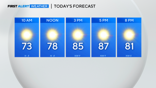
However, put the sunscreen on today because the UV index will climb to the 'very high' category.
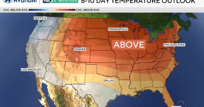
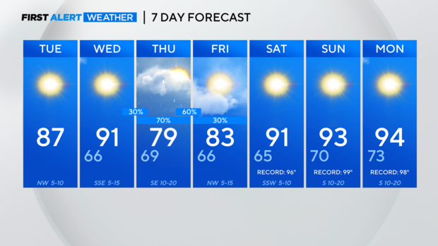
High pressure will build over the Southern Plains, bringing clear skies and warmer-than-average temperatures today and Wednesday. Late Wednesday, there is a small chance of some isolated showers West of 281 after dryline storms develop.
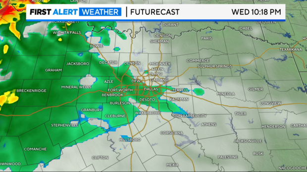
Most of the activity stays West of 281 but that changes on Thursday. Rounds of rain are on the way, with the flooding as the biggest threat.
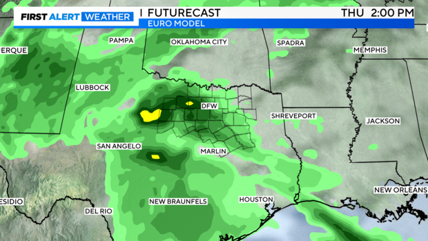
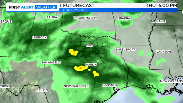
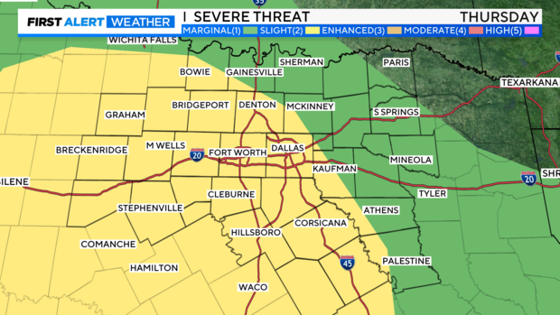
However, the Storm Prediction Center has issued a slight risk of severe storms for Thursday and with warm air advection pumping up the moisture content, we could see some strong to severe storms. The challenge is there isn't a well-defined boundary layer or lifting mechanism in place. Thursday is a day to stay alert for any potential strong to severe storms.
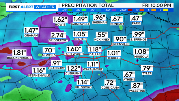
After a soggy Thursday into Friday, we dry out and heat up! Look at the long stretch of 90s in the forecast.
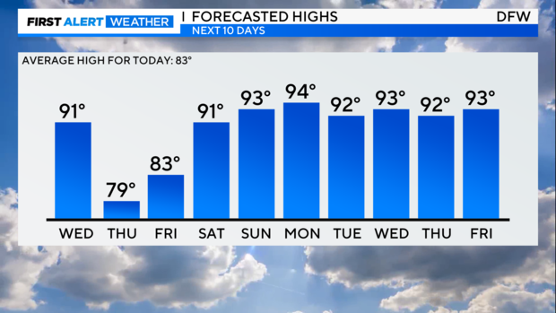
Yes, we jump from May temps to late June average high temperatures next week. But as you plan your day, here is your First Alert 7-day forecast.
Have a great day, wear your sunscreen and post pictures of your gorgeous day using the #FirstAlertDFW!