First Alert DFW: Disturbance Brings Sleet And Snow To Parts Of North Texas
NORTH TEXAS (CBSDFW.COM) - Some of you likely woke up to a bit of sleet or even snow! A disturbance is passing through North Texas and a few heavier bands have developed from it. Light accumulations were reported near Athens and Mexia which are already melting.
Models did not handle this disturbance well, they nailed the rain in East Texas early this morning but flubbed on the sleet and snow that followed it. The precipitation will continue to end from northwest to southeast this afternoon.
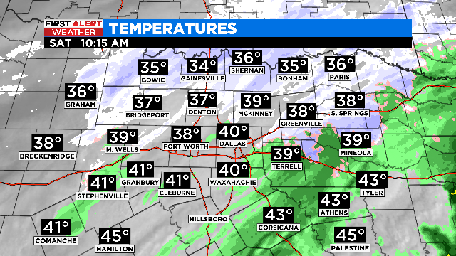
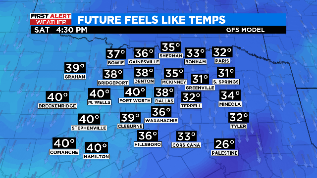
A drastically colder afternoon ahead behind yesterday evening's cold front. Our breezy northerly winds will subside late this afternoon but temperatures only make it into the lower 40s. Keep the jacket handy if you are headed out today.
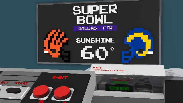
Another cold morning on the way for tomorrow as we start with temperatures near freezing. But your Super Bowl Sunday is looking significantly brighter with lots of sunshine and highs in the low/mid 60s!
We follow up Super Bowl Sunday with an even better Valentine's Day! Temperatures climb to near 70 degrees with the sunshine sticking around. ????

On the horizon is our next system for midweek. Right now, it looks like rain will start Wednesday and clear out mid morning Thursday. Some thunderstorms are possible Wednesday afternoon/evening, we are keeping a close eye on any severe potential, at the moment it looks low but we are still several days out.
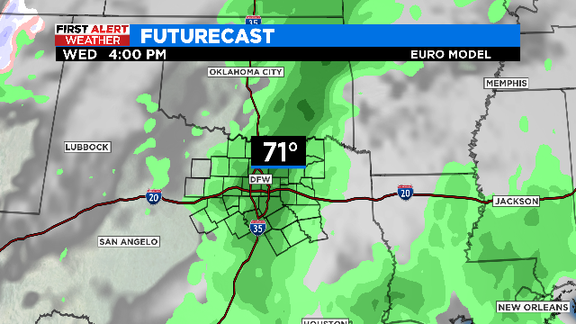

The system not only brings precipitation but will also return cold air to the region with temperatures likely falling Thursday afternoon. As always the First Alert Weather Team is monitoring the latest data.