Easter Forecast (And Beyond)
The Thunderstorm Watch that was in effect across Saturday evening for a handful of our western counties was dropped at 9:21pm. We expect a few scattered showers along a cold front through the overnight hours.
EASTER SUNDAY
Highs tomorrow stay in the upper 70's under mostly cloudy skies. It'll be very muggy as a stationary front sags right over north Texas along the I-20 corridor. The SPC puts a small (5% chance) of severe weather across the metro area in the afternoon hours:
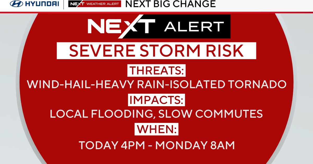
Sunrise services (sunrise 7:08) looks dry and warm, temperatures will be in the low 60's. There is a very small chance some isolated showers could still be going on, especially south of the metro area. I expect by early afternoon storms to start popping up across the area. We'll closely monitor these storms, the threat would be from damaging winds and large hail.
MONDAY
We are going to have another mostly cloudy day with a 30% storm chance. Highs will be in the upper 70's.
TUESDAY
Upper level support improves Tuesday and we increase the storm chance to 40% as winds pick up from the south. Storms could be around for the morning commute as a warm front moves across our area from southwest to northeast. Then I expect another round in the afternoon and evening, most of it in our eastern half but including the metro area. These storms have a good chance of becoming strong if not severe.
REST OF THE WORK WEEK
We are keeping storms in the forecast for every day this coming work week. A 30% chance on Wednesday, a 20% chance on Thursday. On Friday we again have a better set up for strong storms as a dry line and front comes in from the west. Saturday looks windy with a 20% storm chance. Highs will be in the upper 70's on Wednesday and Thursday, in the low 80's Friday and Saturday.
