Big Rains, Storms Then a Cold Front
Your forecast:
Overnight: 40% Rain Chance, Mostly Cloudy and Mild, low: 65, winds south 10-15
Monday: 50% Storm chance, Severe Weather Likely western counties. Cloudy and windy, Highs: 76, winds south 15-20
Monday Night: Severe Weather Possible, 80% Rain chance, cloudy and windy with low in the mid 60's. Winds south 15-20mph.
Tuesday: Rain and storms to start, 60% chance. Cloudy early and then clearing mid-day. Highs mid-day in the low 70's with temperatures dropping by end of day. Gusty winds turning west and then northwest.
Tuesday night: Mostly clear and cold, brisk NW winds with lows in the upper 30's on in the metro, near freezing in our northwest counties.
Wednesday: Mostly Sunny and breezy, highs in upper 50's, winds NW 15-25mph but diminishing in the afternoon.
DISCUSSION:
Perhaps you felt the earthquake last night. It happened while we were in our news cast (delayed from the football game last night). A 5.6 earthquake occurred about 60 miles to the east of Oklahoma City. It was shallow, only about 3 miles deep and was felt across north Texas.
This morning the low was only 65 degrees. Just two mornings ago the low was 34 degrees.
Clouds ruled most of the day on our Sunday. Skies broke up around the metroplex as rain develop and continues to move across Jack and Montague counties moving northwest into Oklahoma.
Giving the fact we are in early November the feel to the air is a little usual. First off it is very humid, dew points are in the low 60's. There is an expected stiff south wind along with that; it is transporting that moisture from the Gulf of Mexico (a reminder yet again that our geographically description is "northern coastal plain"). The rain band to the west will expand as it crosses the Red River and gets into Oklahoma. Rain chances start to pick up overnight, we are not expecting severe weather tonight or in the overnight hours.
SEVERE WEATHER RISK MONDAY
Monday is a different story. We'll again awake to very warm temperatures again, in the mid-60's and a steady south wind with high humidity. Severe weather will break out just to the west and north of Wichita Falls in the day and move into our western and northwestern counties by late afternoon. Damaging winds and large hail are the main threat but given the wind field and high moisture content isolated tornadoes are not out of the question. Here is the moderate risk area described by the Storm Prediction Center:
The heaviest rain will likely stay in our northern counties along the Red River where over an inch of rain could accumulate.
A cold front starts to move toward us on Monday night. This is going to form up the rain and storms along a line and push it over north Texas and metroplex. We are putting the rain chance on Monday night and Tuesday morning at 80%, meaning we are rather confident that much-needed rain will reach most of the reserves. However the severe weather threat will ride in along with this rain event, Larry and Jeff will be in the weather center monitoring the event.
WET START TO ELECTION DAY
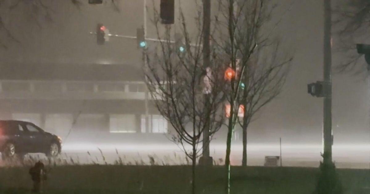
I expect Tuesday morning to have rain and storms, a wet commute for the metro. Winds are going to turn to the west late morning and to the northwest by late afternoon. The rain is going to move west to east as the morning goes on, I'm expecting dry roads in the metro by the end of school and the evening commute. But temperatures will be dropping. We'll get into the low 70's by mid-day but drop down into the 50's by evening. By Wednesday morning with mostly clear skies lows will drop into the 30's.
It'll be dry the rest of the week and into the weekend. Highs will stay in the 60's on Thursday and Friday but we should get into the 70's by the weekend. Right now I'll keep Sunday dry but we might be changing that as we draw closer.
