2nd Wave Of Precipitation Brings Good Chance Of Snow Northwest Of DFW
NORTH TEXAS (CBSDFW.COM) - Our first wave of wet weather is wrapping up as we move into Wednesday evening.
Light-moderate rain showers will continue to exit east of I-35.
We should get a brief lull in the rain until closer to midnight. Then we watch as another round of rain moves in from west to east.
As we approach sunrise Thursday, a transition from rain to snow is likely for locations mainly northwest of the Metroplex (Bowie, Graham, Bridgeport, Gainesville). In these locations, 1-2" of snow is possible with isolated spots closer to 3" but those would be the exceptions.
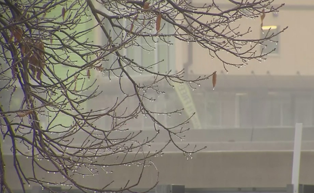
For the Metroplex, it's mainly just a very cold rain, though there could be some flakes mixing in from time to time in the morning period.
Temperatures should hover at or just above freezing overnight so we don't anticipate widespread icing.
High temps Thursday climb into the mid-upper 30s.
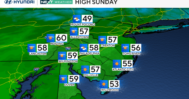
By the weekend, this is a thing of the past with temps on a big warming trend into the 50s and 60s.