Rain returns to Bay Area, Central Coast with storms strengthening into the weekend
After one of the driest Decembers in decades, Northern and Central California began to see rain again on Tuesday as a strengthening series of storms was set to soak the region, forecasters said.
The National Weather Service said in its daily forecast discussion that light showers were spreading from the North Bay early Tuesday, with rainfall totals from this initial front expected to stay on the lighter side — up to a quarter inch across the North Bay, and less than a tenth of an inch along the Peninsula and East Bay shorelines. The South Bay and Central Coast may see only spotty drizzle or stay mostly dry.
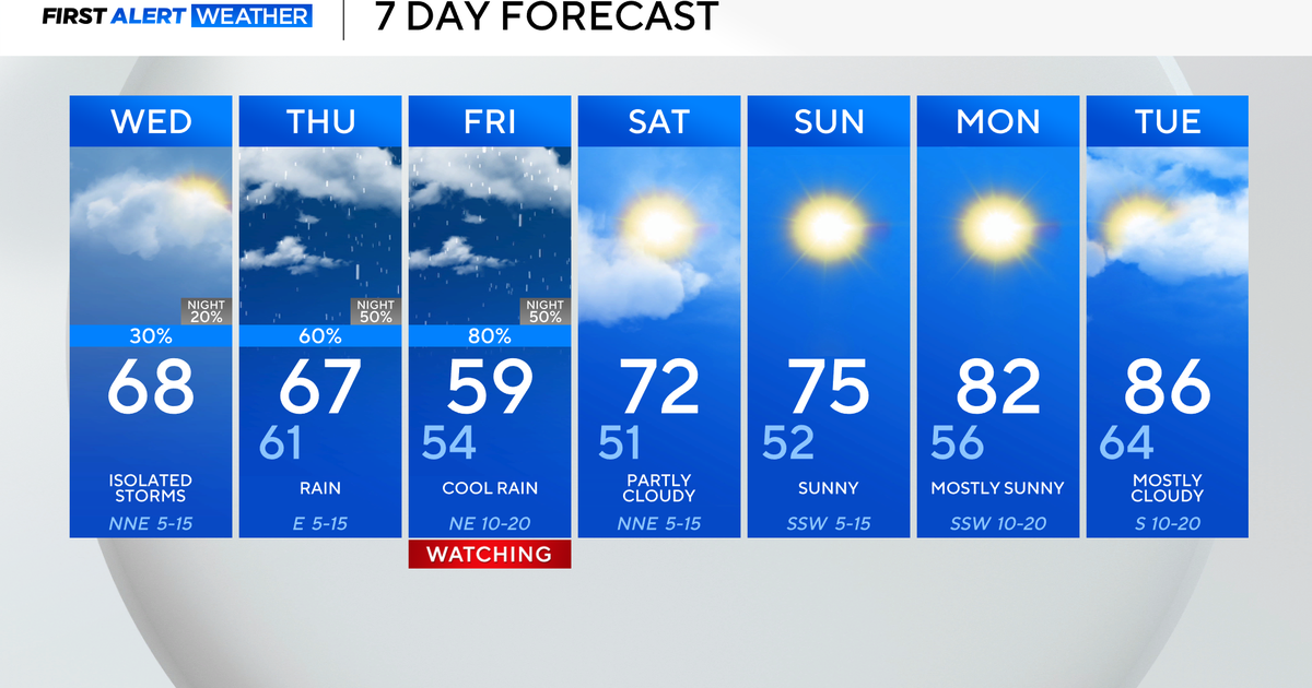
It is the first system in a prolonged wet stretch that will bring increasing amounts of rain into next week, according to the Weather Service. A second weak cold front is expected on Wednesday, keeping skies gray and adding light rain or drizzle in some coastal areas, and forecasters say the main story will unfold late in the week, when the storm track over the Pacific begins to shift.
KPIX First Alert Weather: Current conditions, alerts, maps for your area
By Thursday, a strong upper-level trough over the Pacific is forecast to open the "storm door," allowing a steady flow of moisture to stream into Northern California, the Weather Service said. Widespread rain is expected from north to south beginning Friday and continuing through the weekend. The heaviest rainfall again will likely fall on the North Bay, with rain gradually spreading into the Central Coast by Saturday.
The Bay Area and Central Coast have gone nearly a month without any measurable rain. This December is the driest since 1989 in Napa, Oakland, Salinas, San Francisco and Santa Rosa, according to KPIX meteorologist Zoe Mintz, while Monterey has not been this dry since 1976, and Half Moon Bay since 1979.
Forecasters said rainfall totals through Monday could reach up to 5 inches in the coastal hills of the North Bay, 1.5 to 4 inches across inland North Bay areas, about 0.5 to 1.5 inches around the central Bay Area, and up to 1.5 inches along the Central Coast. Winds may increase Sunday into early next week as the next storm strengthens offshore, potentially creating travel impacts around the holiday period.
It's the first significant rain in the region in weeks, as a high-pressure ridge parked over California has kept dry conditions in place while forcing the moisture to the Pacific Northwest, which has been hit by historic flooding. The high pressure has also trapped fog and pollution, keeping the air quality unhealthy. The multiple storm systems will bring an end to the stagnant weather pattern, improving air quality and lifting the fog.
The Weather Service said confidence is growing that the region's wet pattern will persist through Christmas week, with a moderate chance that storms could continue through the end of December.
"The overall message is that we're transitioning into a much wetter pattern that looks to last at least through Christmas," the Weather Service said. "Now is a good time to get ready."
Residents were encouraged to prepare now by clearing leaves from gutters, checking storm drains, and securing outdoor decorations or holiday inflatables ahead of gusty periods later in the week. Those planning to travel are advised to monitor forecasts closely, especially for mountain routes that could face snow or heavy rain.

