Pittsburgh Weather: Snow Could Have Effect On Evening Commute
Follow KDKA-TV: Facebook | Twitter
PITTSBURGH (KDKA) -- Some snow is moving into the Pittsburgh area just in time for the afternoon rush hour.
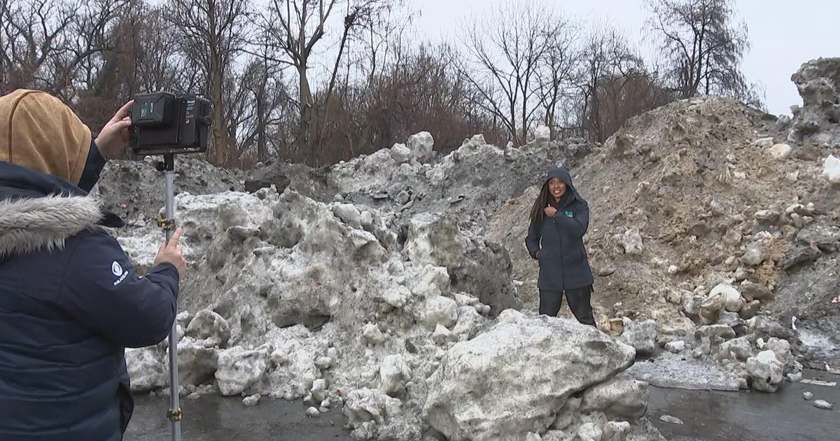
In terms how much snow? Not much, just a coating, but a coating can make a difference during a rush-hour commute.
Current Conditions | School Delays & Closings | Local Radar | Weather App | Photos
Untreated surfaces could become slick or snow covered.
As snow moves through the area, we're urging drivers to be extra cautious during their commute home this evening. We have 24 trucks out that will be continuously salting/plowing until at least 9 p.m. We are monitoring conditions & will have crews out past then if needed.
— Allegheny County (@Allegheny_Co) March 5, 2019
As of Tuesday at 5 p.m., temperatures were well below freezing, meaning snow will have no problem sticking to anything without salt on it.
Snow showers are a little steadier south of Pittsburgh as you get along I-79, back toward I-70 in Washington County. Some snow has also been moving out toward Monroeville and Plum.
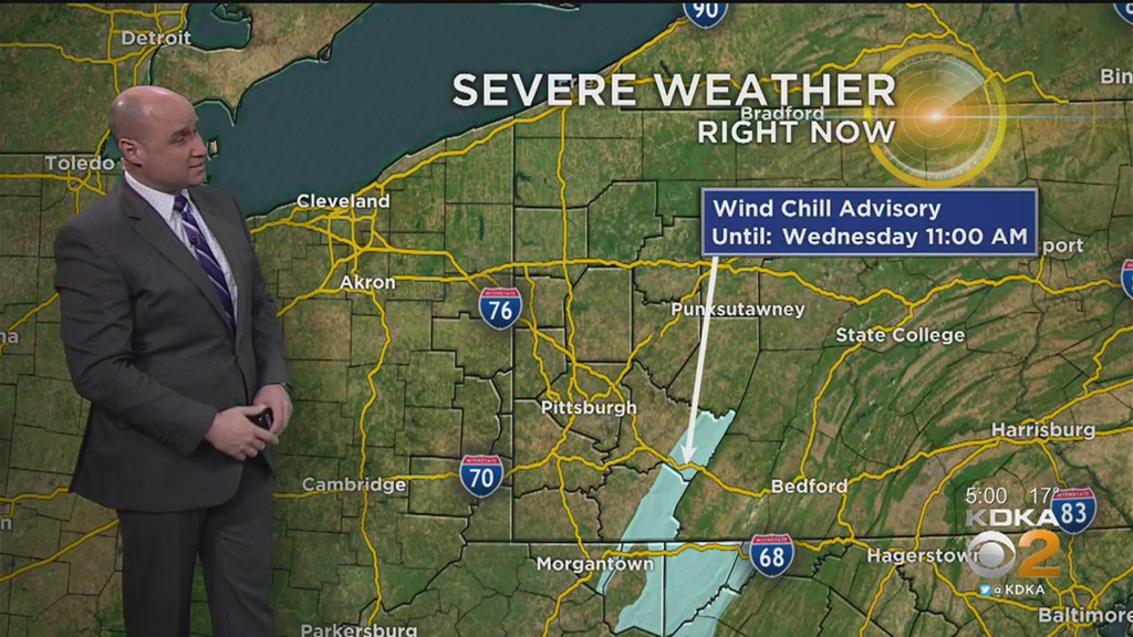
On top of that, very cold air and breezy conditions set up the area for a wind chill advisory, which is in play from late Tuesday until Wednesday morning. Wind chills in the ridges could feel like minus-10 to minus-15.
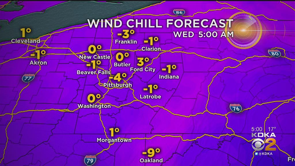
Through the night, the wind chill will dip down to minus-4 in Pittsburgh.
Scattered snow showers and continued cold temperatures are what you can expect Tuesday night and Wednesday.
While the snow will not accumulate to anything more than a coating, it will easily stick to untreated surfaces, since temperatures have been below freezing for a couple of days. That cold air is the other part of the story.
It is not all cold temperatures and now in the forecast, though. Highs reach into the 50s and 60s this weekend, and only part of the weekend comes with rain.
Stay up to date with the KDKA app, which you can download here.


