First Alert Weather: Rain brings fog and river flooding to western Pennsylvania

PITTSBURGH (KDKA) - It's a busy weather day with rain showers around through the day, dense fog impacting drivers this morning, and rising river levels happening tonight.
The biggest impact will be rain so we will start there.
WEATHER LINKS:
Current Conditions | School Closings & Delays | Submit Your Weather Photos
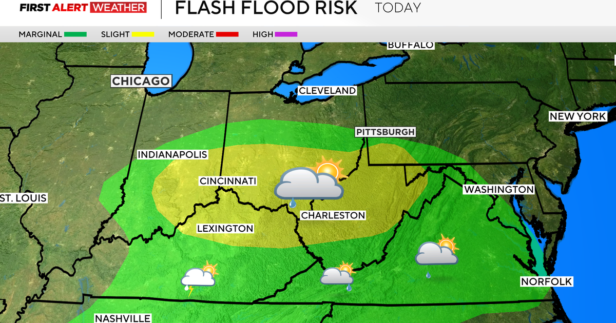
Yesterday's rain totals were just shy of a half inch, which was what I expected. Another quarter inch to half an inch of rain is expected for today again, but rain showers will be more spotty off and on from here. The best chance for rain for the day will be late this afternoon into the evening.
I have a fairly continuous round of rain arriving after 3 p.m. and sticking around through at least 10 p.m.
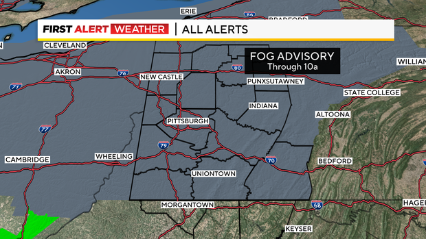
I'll get back to the impact of the rain in just a bit, but as the moisture and warm air continue to push in from the south fog is once again a problem.
I expect fog to also be a problem on Friday morning as warmer air continues to move in over a cold and damp surface. Advisories today go through 10 a.m.
Expect a similar impact tomorrow. I will say even if we don't get an advisory tomorrow, there will be fog around.
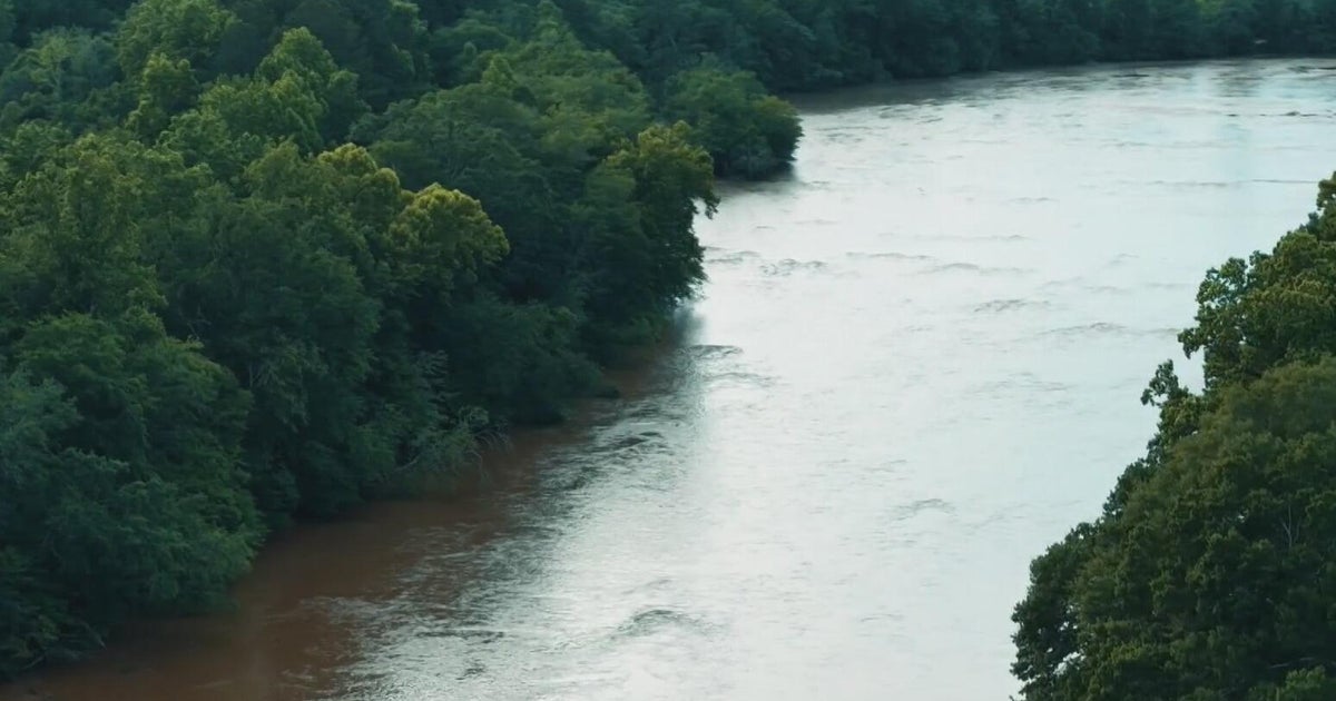
Getting back to the rain, we now have some concerns when it comes to river flooding.
Now when I say we now have a concern, I was talking about this threat last week. I even mentioned it in my blog a couple of mornings.
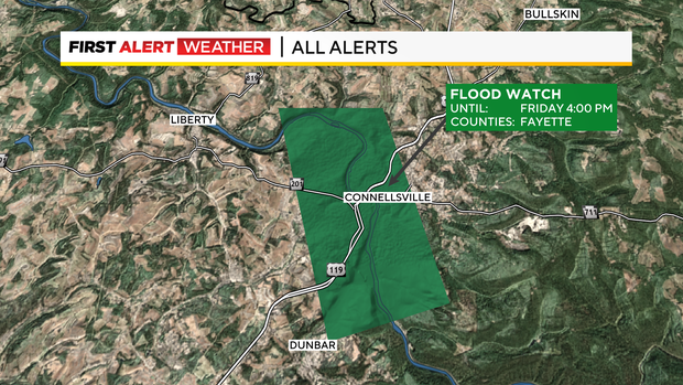
Flooding at this time will be very isolated. At this point, there is a flood watch along the Youghiogheny at Connellsville. The Ohio at the Point is also forecast to hit its action stage with the river peaking at around 20.6' on Friday afternoon.
River levels that high bring flooding to the Riverwalk on the North Shore. The Mon Wharf parking garage has also been closed due to the high river forecast.
Now that we have that out of the way let's talk temperatures. That's truly the best part of the forecast.
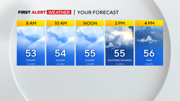
Temperatures didn't even dip below 50 this morning with highs hitting the mid-50s.
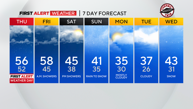
Friday morning will now be the warmest period over the next week with highs hitting the upper 50s. We then start to cool back down with highs in the 40s for both Saturday and Sunday.
There will be another round of rain around on Saturday evening through Sunday with rain changing to snow as we wrap up the day Sunday.
Stay up to date with the KDKA Mobile App – which you can download here!