The Threat Of Showers And Thunderstorms Continues This Week
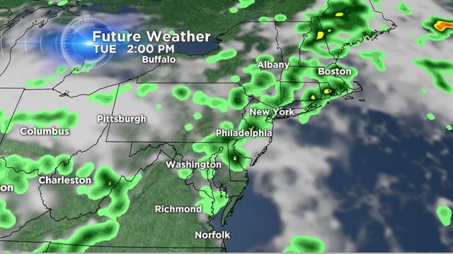
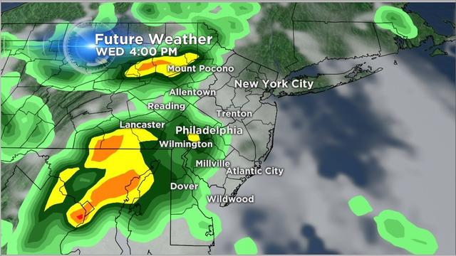
A stalled front will linger over our area Tuesday keeping the threat of showers, storms, and localized flooding, especially in the afternoon.
Watch CBS News
A stalled front will linger over our area Tuesday keeping the threat of showers, storms, and localized flooding, especially in the afternoon.
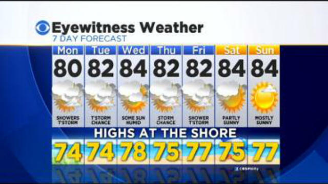
After a dry and pleasant weekend, the weather pattern will turn more active with shower and storm chances returning.
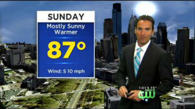
Sunday will be even warmer than Saturday with inland areas reaching the upper 80s.
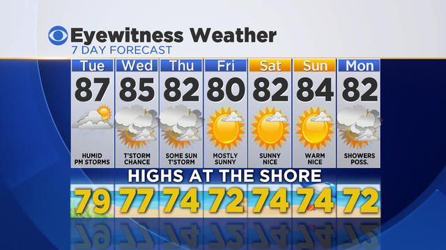
High temperatures on Tuesday will be well above average in the mid-upper 80s. The warm and humid air will help fuel some showers and storms during the afternoon and evening.
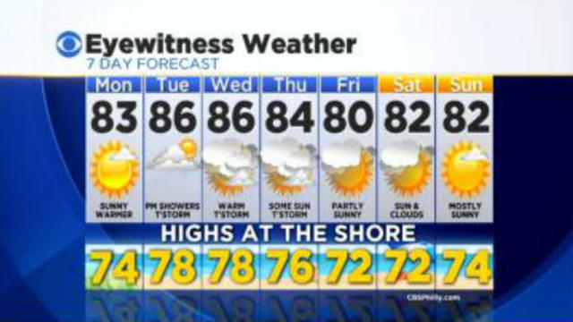
After a very pleasant weekend with high temperatures and low humidity, the work week will be much warmer with more humidity.
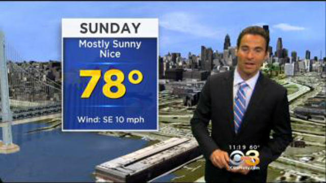
If you are hoping for another beautiful day like Saturday, you are in luck!
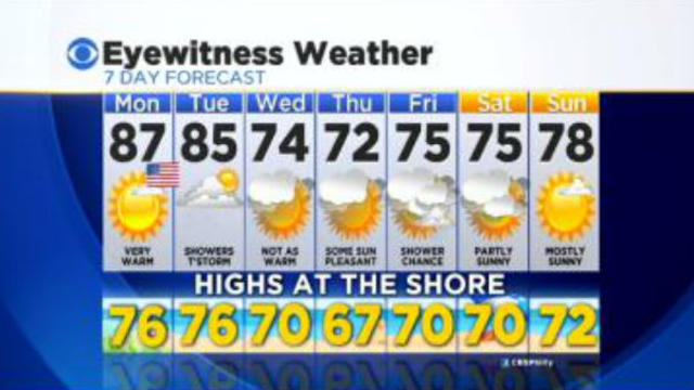
A summer-like air mass continues to build into the Delaware Valley this weekend with above average temperatures.
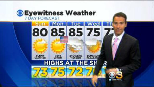
Expect more sunshine around on Sunday and Memorial Day with highs near 80 on Sunday and mid 80s on Monday.
High temperatures return back to average to slightly above average with highs in the mid 70s.
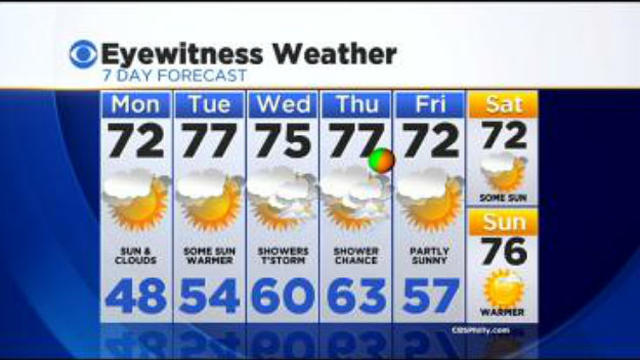
Temperatures will warm back up to near and above average for the middle of the week.
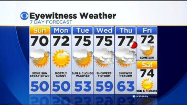
It was a nice start to the weekend Saturday and that should continue.
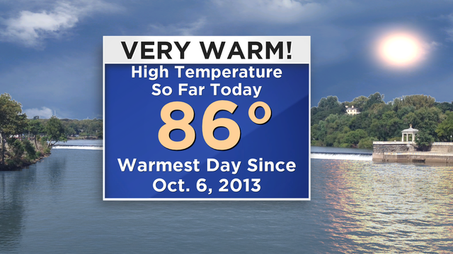
Today was Philadelphia's warmest day since early October 2013.
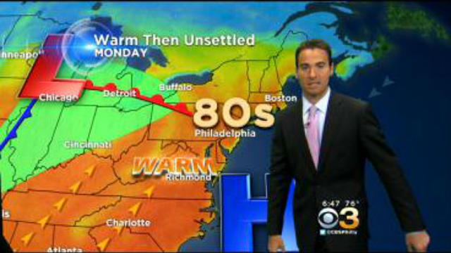
The warmer than average air mass will continue for the start of the work week.
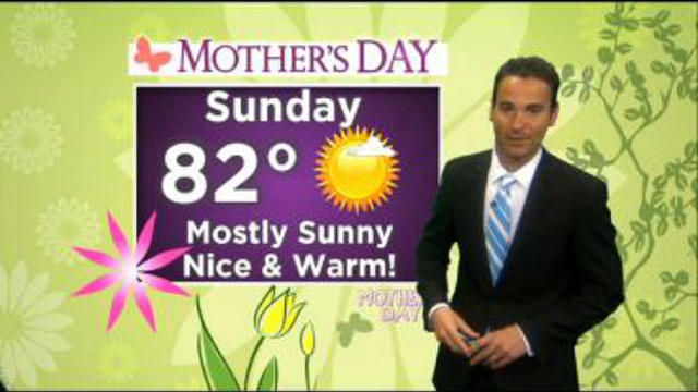
Mothers Day will have plenty of sunshine with warm highs in the low 80s and lower humidity.
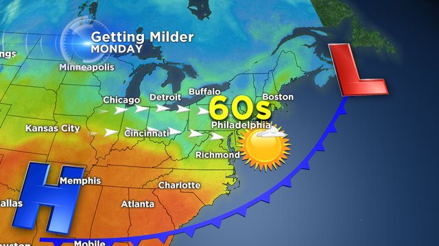
A cool and dry air mass has settled into the Delaware Valley today as a cold front moved though over the weekend.
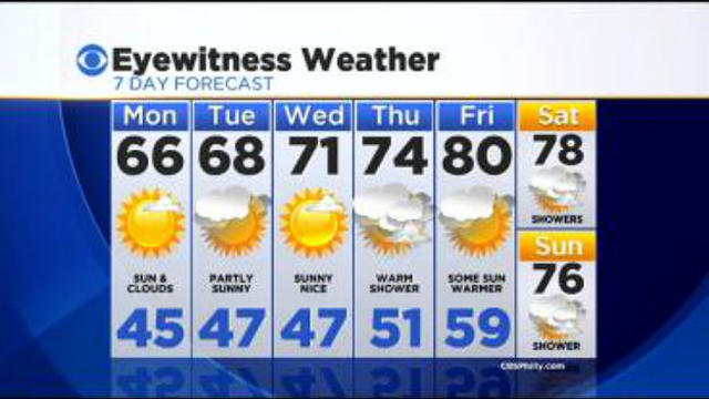
Monday & Tuesday's highs will be slightly below average in the mid to upper 60s with sunshine.
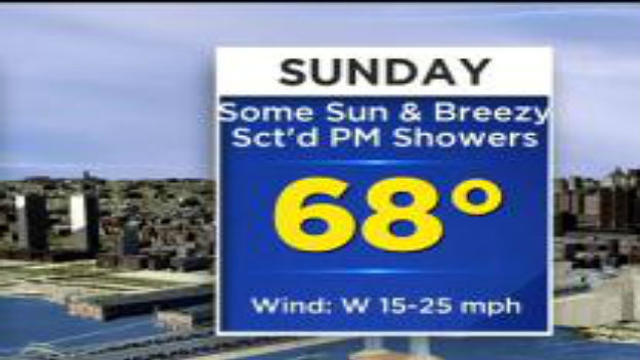
Expect some sunshine around Sunday morning for the start of the Broad Street Run.
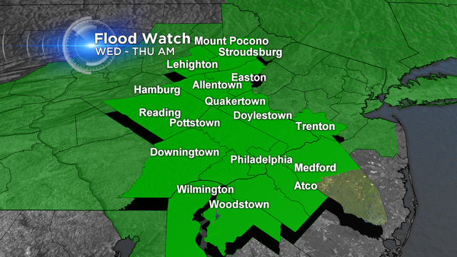
It will be a cool and wet finish to the month of April as a large slow moving storm system currently centered over the central U.S. will continue to bring rain tonight through Thursday.
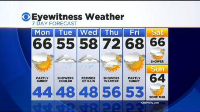
Enjoy one more day with sunshine Monday before cool and wet weather returns.
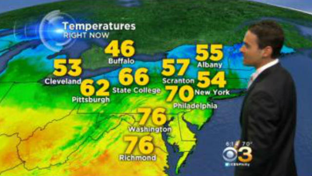
It was a warm start to the weekend with high temperatures reaching the low 70s on Saturday.
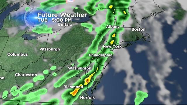
Our next storm will be in the form of a cold front that will impact us later on Tuesday.
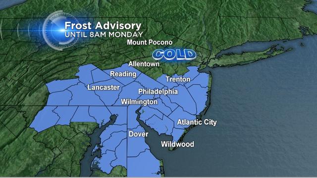
A frost advisory will be in effect early Monday morning for many areas.
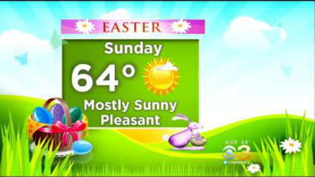
High pressure will situate itself over the Northeast on Easter Sunday keeping the forecast dry.
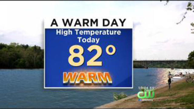
Sunday was the first 80 degree day of the year as high temperatures made it into the low 80s for inland areas.

A nice start to the weekend weather-wise makes it back to back weekends with sunshine and pleasant conditions.