Tracking The Threat of More Storms, Then A Gorgeous Weekend Ahead
By Steven Strouss
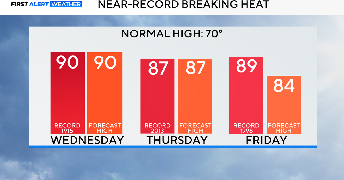
PHILADELPHIA (CBS) -- The temperature soared to 89 degrees in Philadelphia Tuesday, making it the warmest day of the year and the warmest temperature since September of 2013. Strong southwesterly winds and plenty of sunshine helped push the mercury into the upper 80s but also provided the fuel for a few strong thunderstorms. The associated cold front will move offshore overnight and skies will gradual clear.
Wednesday will feature sunshine, and with the humidity and temperature slightly lower, it will feel more comfortable.
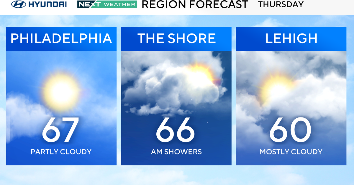
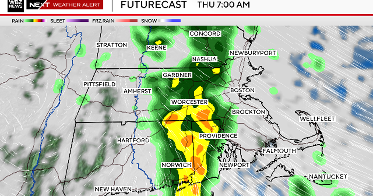
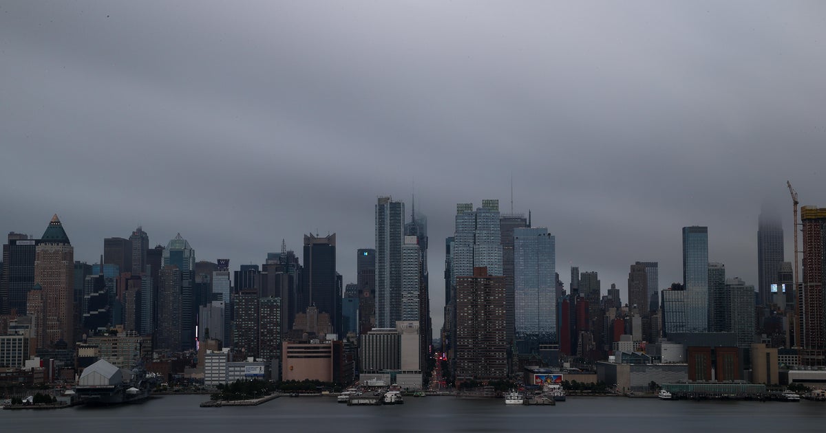
Our attention then shifts to a potent storm system which is currently over the Midwest. This area of low pressure will track our way late Wednesday night and bring showers and thunderstorms with downpours into early Thursday morning. Rainfall amounts from this system may exceed 1" which will cause street ponding and possible flooding so we will keep a close eye on this storm as it progresses east because the Thursday morning commute is looking very wet.
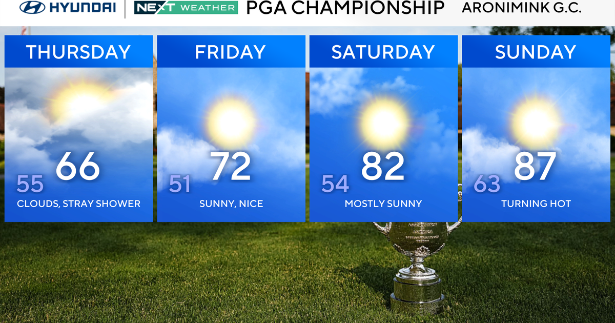
The good news is that high pressure settles back in Thursday night and brings great weather for the third straight weekend in a row. The first full weekend of June will be gorgeous with mostly sunny skies and seasonable temperatures but showers and thunderstorms return early next week.
Steve
