Monday starts chilly to kick off a sunny week in Philadelphia area. Here's the weather forecast.

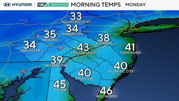
We're off to a chilly start in the Philadelphia area Monday morning, with areas of frost possible, especially north and west of I-95.
Temperatures will rebound nicely by the afternoon, reaching near-seasonable levels for most inland areas. Meanwhile, a developing coastal storm offshore will bring increasing northeast winds along the coast, with gusts potentially reaching 30 to 35 mph. Most of the region stays dry, with just a few showers possible well south of our area.
NEXT big change
The coastal storm will remain our main weather story through at least Wednesday, especially along the Jersey Shore and Delaware beaches. Persistent northeast winds will lead to rough surf, possible beach erosion and several rounds of coastal flooding beginning Tuesday evening.
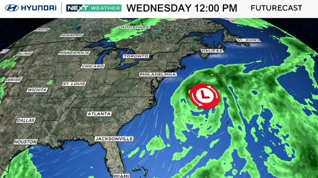
The greatest concern looks to be Wednesday evening, when widespread minor to locally moderate coastal flooding is possible. Farther inland, including in Philadelphia, impacts will be minimal, with generally dry conditions continuing.
By Thursday and Friday, the storm is expected to gradually move farther offshore, allowing coastal conditions to improve, although some uncertainty remains about how quickly it will depart.
Beyond that, it remains sunny, seasonable and beautiful throughout the week ahead!
Here's your 7-day forecast:
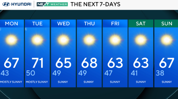
Monday: Mostly sunny. High 67, Low 43
Tuesday: Mostly sunny. High 71, Low 50
Wednesday: Sunny. High 65, Low 49
Thursday: Sunny. High 68, Low 49
Friday: Sunny. High 63, Low 47
Saturday: Sunny. High 63, Low 41
Sunday: Sunny. High 67, Low 38
Get the latest weather info on the CBS News Philadelphia app.


