Mostly cloudy Sunday with highs in the 40s, blast of Arctic air arrives in Philadelphia this week. Here's the forecast.


Sunday started off seasonal with morning low temperatures just below the average for this time of year, in the mid-to-upper 20s.
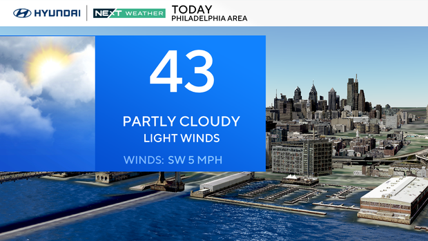
Once again, we will reach the low 40s under partly cloudy skies with light southwest winds. Our normal high for today's date is 48 degrees, making Sunday the 10th consecutive day with below-normal temperatures.
The average high temperature to date this month is 42 degrees, which is 7.5 degrees below average. The average 24-hour temperature this month is 36 degrees which is 5.8 degrees below average.
What's NEXT
Tonight, a cold front will sweep past and usher in the coldest Arctic air yet. The front will be mainly dry, but a few snow showers are likely in the Poconos.
The incoming Arctic blast will last for two days, so prepare to bundle up! Monday will be partly cloudy and bitterly cold with highs in the low 30s. That's a 10 degree drop from today and 15-20 degrees below average. Wind chills will be in the teens and 20s.
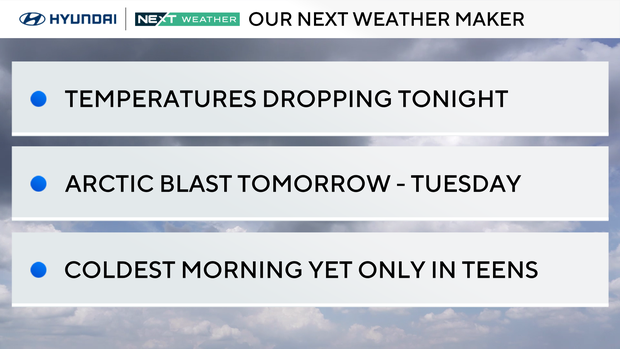
Monday night temperatures fall to the teens and single digits across the area under clear skies.
The dangerous cold starts kicks off the day Tuesday, when wind chills will drop into the single digits and teens under mostly sunny skies.
There is a storm system that's expected to stay south of the area, but if it bounces north, there may be light some snow in parts of Delaware and South Jersey. The NEXT Weather team will keep an eye on it.

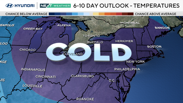
Beyond the cold blast
Temperatures rebound to the 40s on Wednesday with a chance of rain showers. The rain looks light at this point, but showers are possible again Friday. Another push of Arctic air looks to reach the region next weekend.
Here's your 7-day forecast:
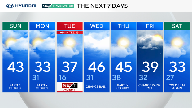
Sunday: Partly cloudy. High 43.
Monday: Partly cloudy. High 33. Low 31.
Tuesday: NEXT Weather Alert. High 37, Low 16.
Wednesday: Chance p.m. rain. High 46, Low 31.
Thursday: Partly cloudy. High 45, Low 38.
Friday: Chance for a rainy mix. High 39, Low 32.
Saturday: Cold snap again. High 33, Low 27.