Vikings Preseason Game Briefly Evacuated Due To Severe Weather
Minnesota Vikings officials ordered TCF Bank Stadium evacuated due to severe weather during Saturday's evening preseason game against the Oakland Raiders.
Watch CBS News
Minnesota Vikings officials ordered TCF Bank Stadium evacuated due to severe weather during Saturday's evening preseason game against the Oakland Raiders.

Fans heading to the Minnesota Vikings preseason game at TCF Bank Stadium are being urged to prepare for stormy weather. The National Weather Service issued a tornado watch Saturday afternoon for many Minnesota counties -- including Hennepin -- until 11 p.m.

Federal officials are headed to the Brainerd Lakes Area on Monday and Tuesday to assess the damage after severe storms tore through the area earlier this month. Residents in the area will find out if the damage was enough for counties to qualify for disaster assistance.

Storms developed in northwestern Minnesota late Thursday night and tracked towards the Twin Cities metro before most of us were up in the morning.
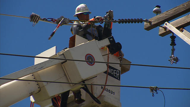
As of late Monday afternoon, all the Xcel Energy customers in Metro area affected by Friday night's storm had their power restored. So, how do crews get the power back on? Good Question.
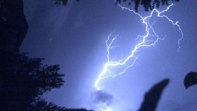
Almost all of the 250,000 Xcel Energy customers who lost service early Saturday morning during severe storms have now had their power restored.
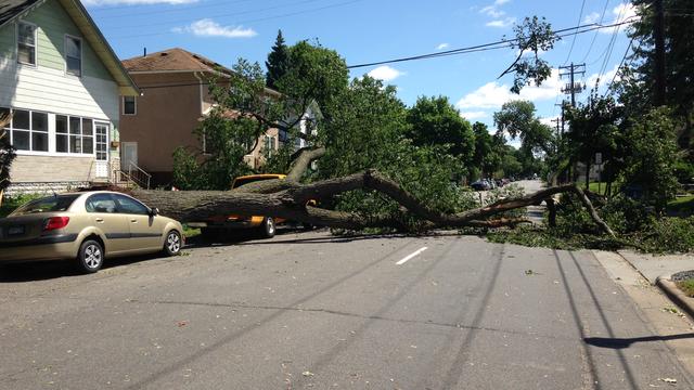
Xcel Energy says the number of Minnesota customers still without electricity after a weekend storm continues to shrink. A company spokeswoman says as of about 10 p.m. Sunday, the number of customers without service was down to about 5,400 around Twin Cities metro area.

It was a busy day of clean up for residents all over the metro. Thousands were without power for hours, and many residents saw boats, houses or cars ruined.

Gov. Mark Dayton plans to visit the Brainerd Lakes area on Friday to survey the damage caused by Sunday's severe thunderstorms. The clean-up still continues after winds up to 80 miles per hour toppled trees and damaged properties.
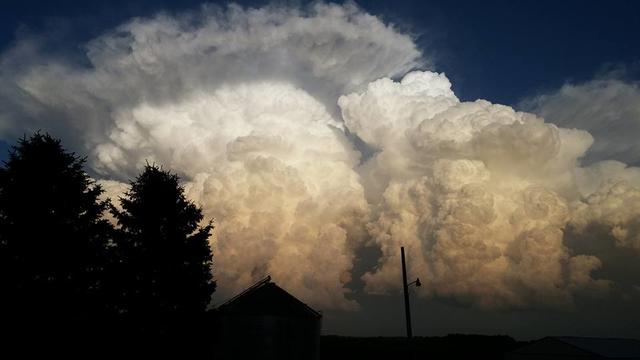
Forecasters say at least four unconfirmed tornadoes may have touched down in western Minnesota when strong storms moved through the state. There will be a big cleanup in the Brainerd Lakes area because of a number of big trees coming down during Monday night's storm.
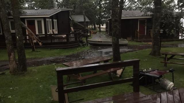
Severe thunderstorms are rolling across Minnesota Sunday night, and the Brainerd/Baxter area appears to be one of the communities hit hard early on. A dispatcher with the Brainerd Police Department said there are several reports of trees and power lines down in the city.

A hot and humid Sunday will be followed by evening severe storms. Meteorologist Mike Augustyniak says Minnesotans are seeing the highest threat for severe weather this year, with the possibility of tornadoes, damaging winds and hail.

Persistent rains are bringing flood warnings for some western Wisconsin counties. Chippewa, Dunn and northern Eau Claire counties are all under flood watches this morning after 2 to 4 inches of rain fell in some areas.

WCCO Meteorologist Mike Augustyniak says our Monday will start out with sun and it will definitely feel steamy with dew points in the low to middle 60s. That sets up the potential for storms to develop late Monday afternoon and into the early evening hours.

Thousands of Twin Cities residents are without power Tuesday evening. Xcel Energy says about 5,000 people are affected in the South St. Paul area, and about 2,000 around northeast Minneapolis.

A bus driver was hurt late Saturday night after his vehicle got stuck in high water after heavy rain came through central Minnesota, according to the Stearns County Sheriff's Office.

The National Weather Service says a trained spotter reported a tornado touchdown just after 4:30 p.m. Saturday near Montevideo. Law enforcement reported part of a roof blow off a building at a farmstead about seven miles north of Montevideo.

Assessment crews have been dispatched to gauge the damage caused by a tornado that tore through a central Iowa town, uprooting trees, ripping apart the roof of the local high school and leaving shreds of pink insulation strewn throughout the streets.

Fifty years ago this Wednesday evening, Dick Chapman and Charlie Boone spent six straight hours taking calls from people and, using a map and a pen, tracked the storm as it tore across the Twin Cities.

Fifty years ago this Wednesday, the Twin Cities were ravaged by a series of tornadoes that struck the northwestern metro area. No fewer than six tornadoes touched down as the storm system moved through, some of them on the ground simultaneously.

High winds are affecting a wide stretch of the upper Midwest, from Minnesota to western Pennsylvania. The National Weather Service says sustained winds Tuesday afternoon will top 30 mph, with gusts reaching 45 to 50 mph.
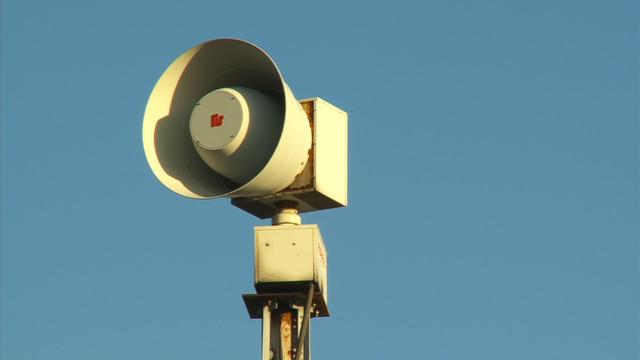
Tornadoes, thunderstorms and damaging hail. Minnesota gets its fair share of severe weather. That's why the state is observing Sever Weather Awareness week.

It's Severe Weather Awareness Week in Minnesota and Wisconsin. When storms hit, people can lose power and cell service. That's where some hi-tech portable equipment comes in to play.

The WCCO Weather Watcher is now flashing green, which means that there could be severe storms coming to your scene. Already on Wednesday, some parts of the state saw significant rains as a line of severe storms rolled through the center of the state.

Residents in parts of northern Minnesota are cleaning up Tuesday after severe storms swept through the area late Monday night. The Aitkin County Sheriff's Office said that the area of McGregor was hit hard, particularly the Eagle Point Camp Ground on Big Sandy Lake.