NEXT Weather: Thursday brings slushy snow, Friday turns it to ice
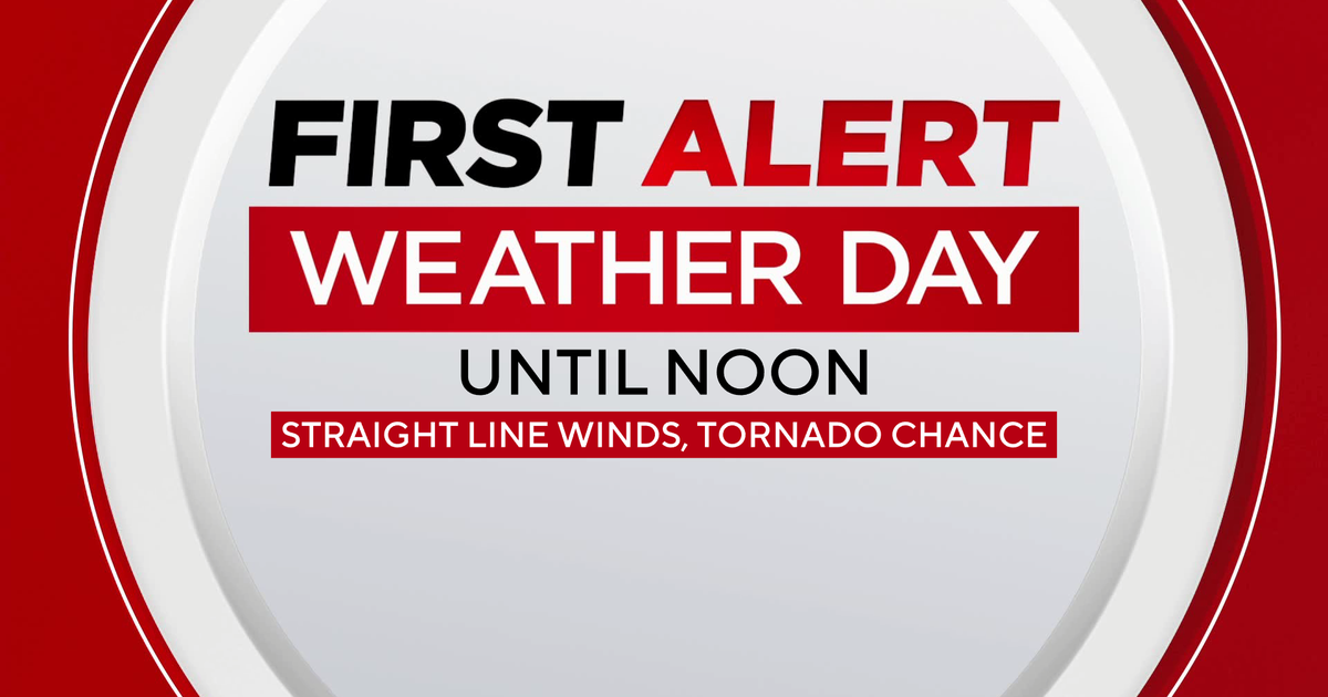
MINNEAPOLIS – After getting a taste of spring Wednesday, Thursday will be a NEXT Weather Alert day due to a mid-March winter storm.
Overnight Thursday, more snow will melt from the mild temperatures. By the morning commute, raindrops will fall and accelerate the melt. We won't drop below freezing again until midday, which is when winds will pick up to the tune of 15-20 mph.
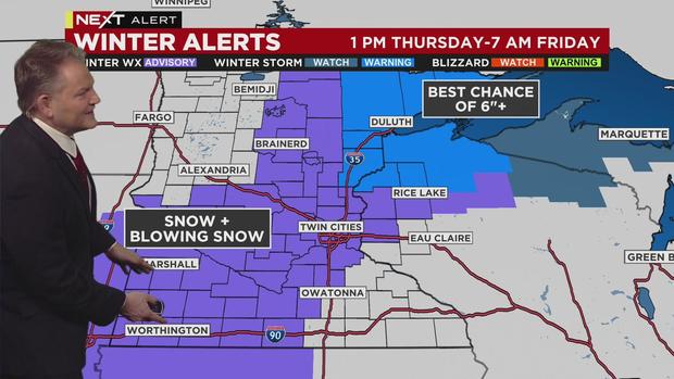
Much of Minnesota will be in a Winter Weather Advisory from 1 p.m. Thursday through 7 p.m. Friday, including the Twin Cities. The Arrowhead region and northern Wisconsin are under a Winter Storm Warning.
Rain will transition into snow just after lunchtime in the metro, creating the heaviest bands of this storm, and making for a slushy evening commute. Snowfall will then lighten up into the night.
The metro may see 1-3 inches of accumulation by early Friday, while southeastern Minnesota could see a little more. The Arrowhead and northern Wisconsin have the best chance of getting 6+ inches of accumulation.
Even though this isn't a big snowmaker, any slush that's not cleared will turn to ice Friday. Temps fall into the low-20s, but it will feel like the single digits from the wind. Saturday will be a carbon copy.
And now for some good news. Meteorological spring arrives Monday, with highs in the upper-30s. We'll get back into the 40s Tuesday, and stay there for several days.