Storms with heavy rain, strong winds move through Twin Cities metro


Strong to severe storms moved through the bottom half of Minnesota on Monday evening.
Strong winds and heavy rain were possible as storms moved through the Twin Cities metro.
Severe storms moved through the west-central part of the state around 7:30 p.m., with wind gusts up to 60 miles per hour. A flash flood warning was in effect in Stevens County until 9:15 p.m.
The storms were expected to arrive out west in the afternoon, with damaging winds, hail and tornadoes all possible. Localized flooding was also a threat. The Twin Cities were likely to see those storms later in the evening, likely after 9 p.m.
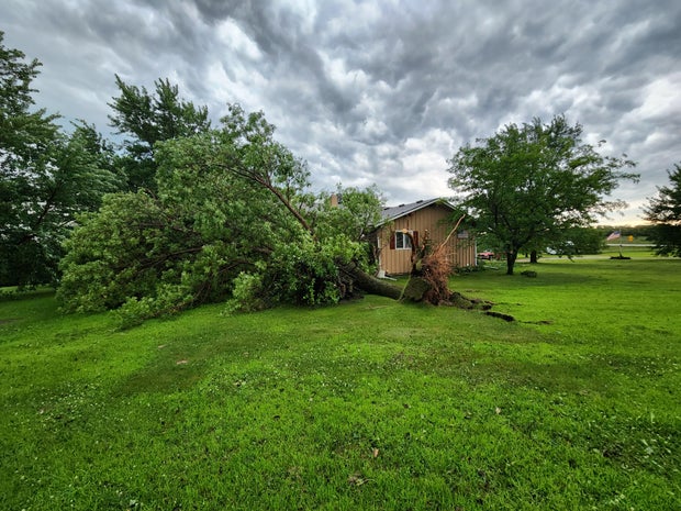
This comes after storms on Sunday left thousands of Minnesotans without power and flooded roads.

Earlier in the day, it was hot and humid, with forecasted heat indices in the triple digits across southern Minnesota. A heat advisory was in effect there from noon to 8 p.m. While the Twin Cities aren't included in the advisory, temperatures were set to approach 90 degrees.
The Minneapolis Park and Recreation Board closed two of its recreation centers that aren't air-conditioned — the 40th Street and Morris centers — at 6 p.m. due to the heat.
A cold front will bring cooler, less humid air on Tuesday, with highs in the 80s. The Minnesota Pollution Control Agency has issued an air quality alert for Tuesday and Wednesday, as wildfire smoke from Canada is expected to spread.
On Tuesday, northern Minnesota will experience unhealthy air quality, with central Minnesota experiencing unhealthy air quality for sensitive groups, the MPCA says. On Wednesday, the smoke may spread further south. The sky could look hazy and Minnesotans may even smell smoke.
Wednesday will kick off a string of cooler days with low humidity and partly cloudy skies in the metro, which will continue through the weekend.
Fallout from Sunday's storms
The storms flooded roads across the metro and downed several trees in cities like Minneapolis and Robbinsdale. In Roseville, three cars were stranded due to flooding, according to police.
As of early Monday afternoon, nearly 20,000 people in the Twin Cities were still without power, according to Xcel Energy. That's down from about 80,000 customers on Sunday night.
John Marshall, Xcel's regional vice president of community and foundation, said power may not be restored to some parts of the metro until Wednesday.
"Eighty-thousand is a significant amount of customers to see all at once. I think in my career, I go back to 2013, there was a double storm and we had about 600,000 customers out. That was a multi-day event, really challenging," Marshall said. "But 80,000 is a lot, and it's hot, and folks need power and we fully understand that. So just know that we're out there working really hard and fast safely, trying to get power back on as fast as possible. Appreciate everyone's patience, for sure."
Marshall said Xcel is amping up its response team from 200 to 500 technicians, and they're urging for patience while their crews work. He said restoration is carried out on a case-by-case basis, and estimated timelines are in the effort to manage expectations.
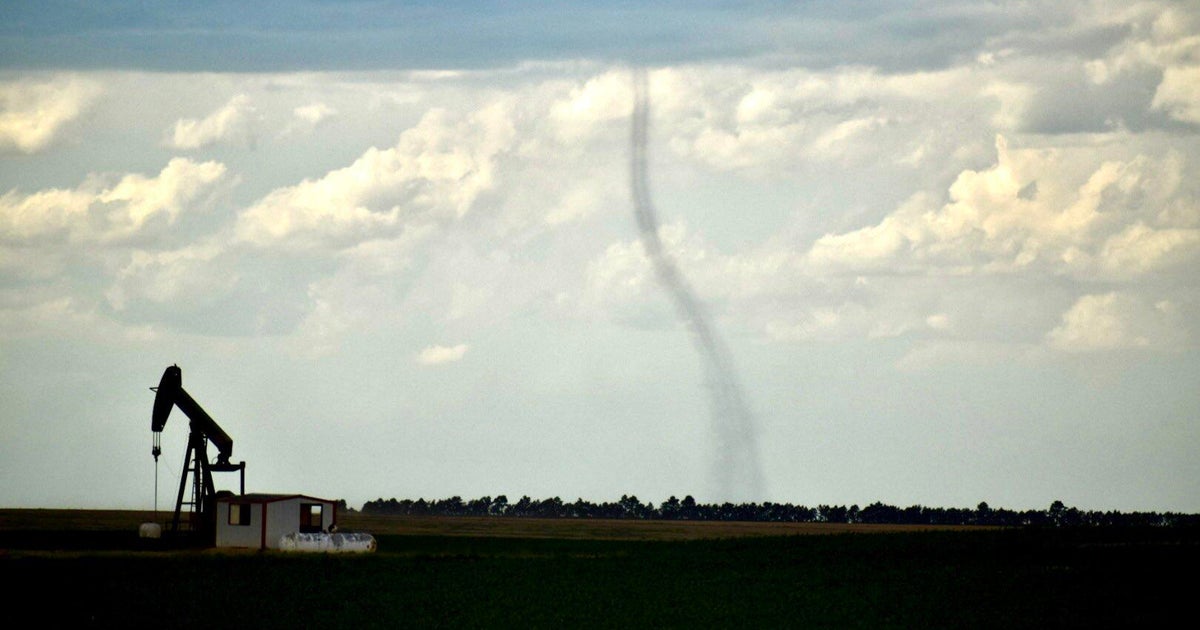
A tornado touched down near Appleton in west-central Minnesota early Sunday afternoon, according to the National Weather Service. No injuries were reported, and the extent of the damage is not yet known.