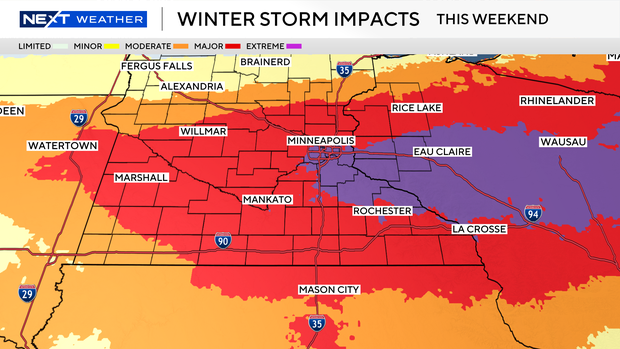
Maps show where in Minnesota more than a foot of snow could fall this weekend


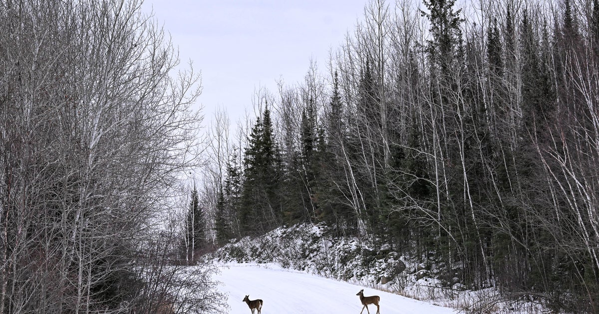
A major winter storm is set to bring significant snow and wind to parts of Minnesota and Wisconsin this weekend.
The NEXT Weather team says a strong area of low pressure will slide across Iowa Saturday night into Sunday. Because this system will have a lot of moisture with it, heavy snow is likely across central Minnesota and areas of Wisconsin with the current expected track.
The snow is set to move in Saturday evening, with the heaviest falling overnight into early Sunday morning. The snow should slow down through the afternoon and evening Sunday.
Significant details that you should prepare for:
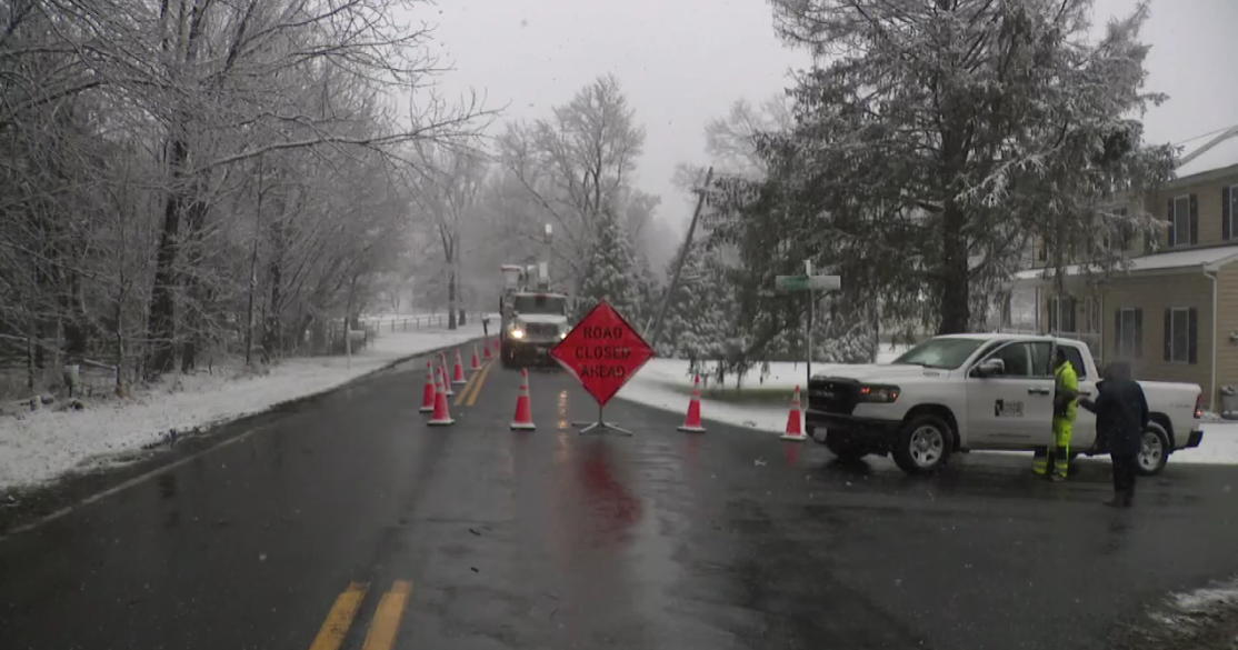
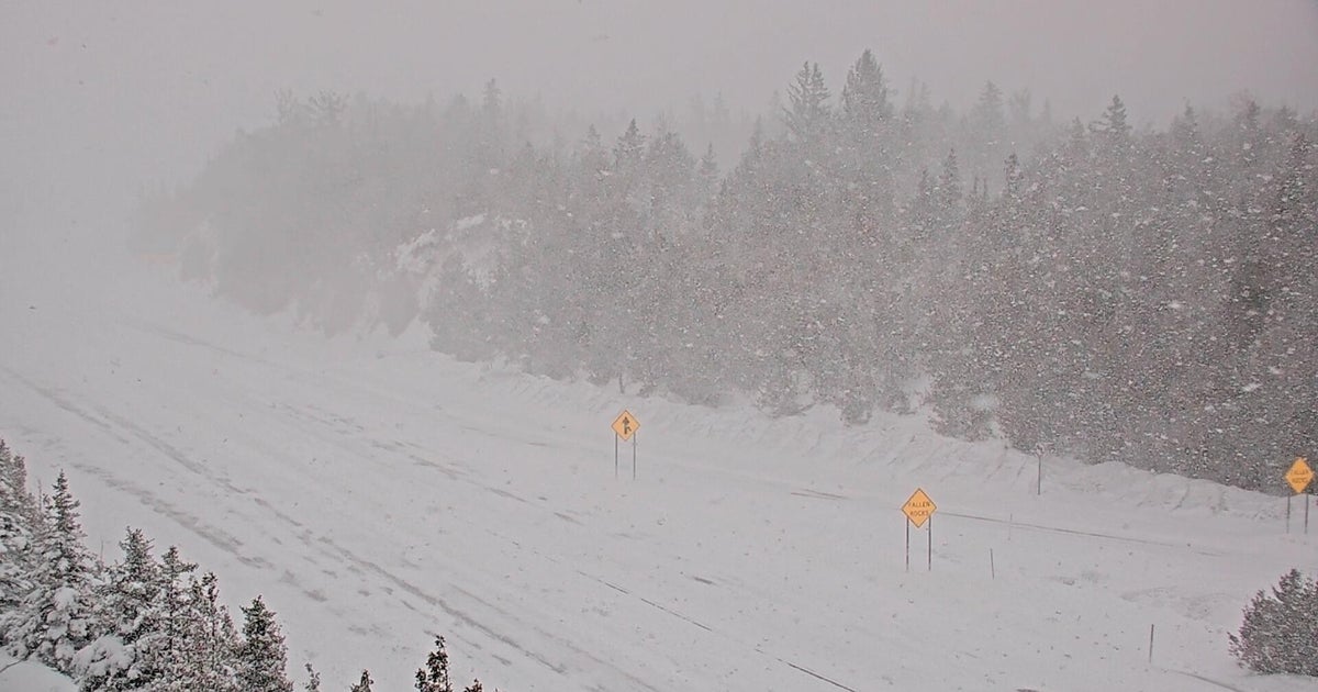
- Some may see 1-2+ ft of snow, rates may push 1 to 3 inches an hour and wind speeds of 30 to 50 mph, possibly creating whiteout conditions. With all of that, widespread travel issues are expected.
- However, the placement of the heaviest snow is always fluid 30+ hours out.
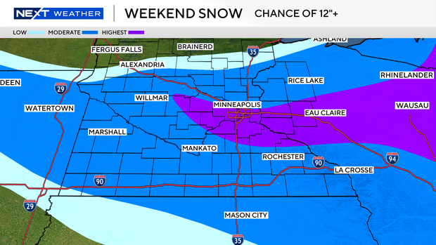
Northern Minnesota likely won't see much snow, if any at all.
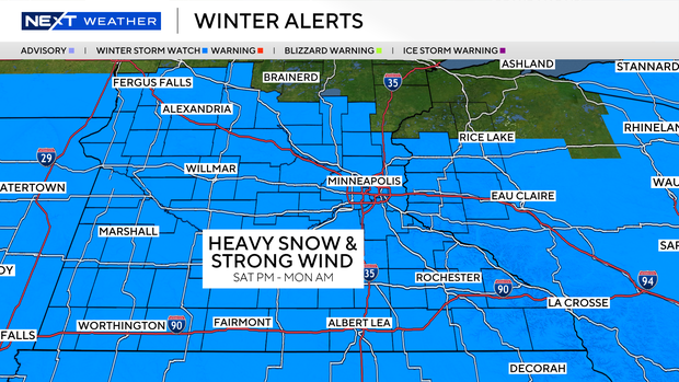
It is important to stress given that impacts are still about 30+ hours away, there is still some wiggle room with the finer details of this forecast. Please stay with the NEXT Weather team for further updates.