Heavy storms track toward eastern Broward County with localized flooding possible for Thursday night

The NEXT Weather team is projecting storms moving into eastern Broward County that will likely produce a quick 1 to 2 inches of rain, with locally higher amounts of 3 inches.
As of 9:35 p.m. Thursday, thunderstorms are located along a line from Miami Lakes north to Pembroke Pines and toward Coral Springs, and are moving east at 15 mph. These storms are bringing pockets of very heavy rain, cloud-to-ground lightning, and brief gusty winds.
Communities likely to experience heavy rain, reduced visibility, and ponding of water on the roads include Fort Lauderdale, Pompano Beach, Hollywood, Aventura, and nearby coastal communities.
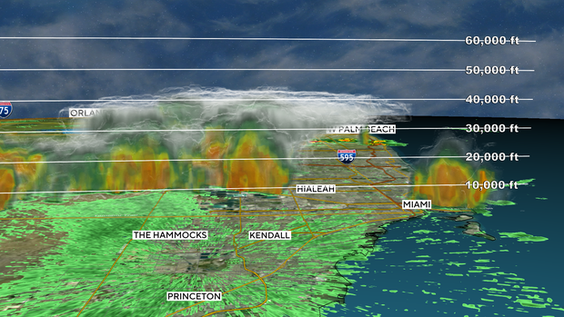
This is not a long-duration event, but some neighborhoods could see localized flooding. Additional storm development remains possible Thursday night.