Josh Rubenstein's Weather Forecast (Nov. 25)
Red flag warnings are still in effect through Wednesday. Expect temperatures into the 80s. yeah
Watch CBS News
Red flag warnings are still in effect through Wednesday. Expect temperatures into the 80s. yeah
There are pretty good Santa Ana winds brewing Monday morning.
We had a little punch to the overnight system, however, it was only for a few localized communities.
A system moving into the Southland will keep us partly cloudy through the day Thursday and bring us a shot at moisture overnight and early Friday morning.
Temps will be down a few degrees and will top out in the upper 60s and low 70s Wednesday.
Expect some warmer weather Tuesday as a ridge of high pressure bumps into Southern California.
The off-shore flow remains in effect through Tuesday, which will keep things dry and warmer.
Expect another cooler day with temperatures running 5 to 7 degrees below seasonal averages.
A wave of energy is moving into the west coast Thursday morning as the on-shore flow and cool conditions continue.
There will be thick marine layer across the region Wednesday morning, which should break up by the afternoon. Look for more of the same as a short wave of energy moves through the area.
Temperatures will remain well below average as the clouds have a tough time mixing out Tuesday afternoon.
Temperatures Monday will be slightly below average.
Temperatures will remain well above average through Monday. The persistent off-shore flow will keep it warm, dry and clear.
The high pressure that has kept temperatures above average this week will continue to dominate the forecast.
A surface high and an upper level high will work together to bring in a warm dry air mass along with an off-shore flow. Daytime highs will run well above average increasing the fire danger.
The brief cold/rain outbreak is over, and there's a ridge of high pressure building in that will translate into much warmer temperatures.
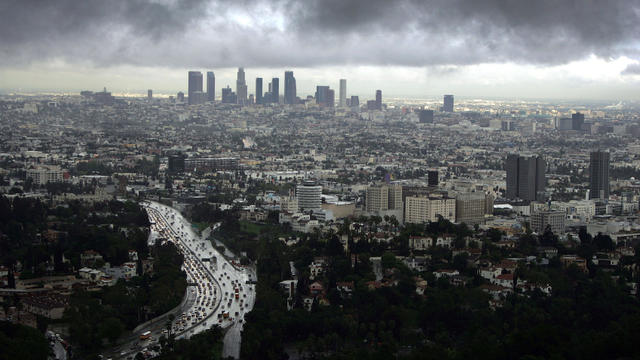
Forecasters say about half an inch of rain fell over the Southland in the winter's first good storm.

A Pacific storm is expected to bring rain, snow and high winds Friday afternoon through the evening.
Temperatures will be way down below average and scattered rain should begin after 7 p.m. and increase through the night.
Thursday will be a transition day as temperatures drop down a bit and more clouds roll into the region.
Enjoy the warm sunny weather Wednesday because we will transition to some winter weather as we approach Halloween.
The next couple of days will be warm as high pressure builds into the region. Look for highs into the 80s for the inland areas, maybe even approaching 90 degrees in portions of the Inland Empire.
Happy Hump Day! Expect some warmer weather headed through Friday then a cooler weekend.
There will be some clearing Wednesday and the temperatures will be about 4 to 6 degrees below average.
Temperatures will run below average, and in fact expect below average temperatures for the rest of this week.