2 rainstorms headed to Los Angeles, potential for debris flow in burn scar areas remains
After a very dry start to winter, two distinct rainstorms are making their way to the Southern California region.
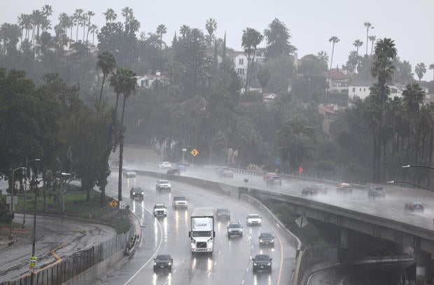
The National Weather Service said the storms will bring light to moderate rain during the week. There is a 5 to 15% chance the rain will reach the burn scar threshold, weather officials said.
The first storm is expected to come Tuesday and last through Wednesday. The San Luis Obispo, Santa Barabara and Ventura areas will see a majority of the rain.
The peak of the rain will occur Tuesday night in most areas. The NWS said Los Angeles County could receive.25 to 1 inches of rain. Weather officials said the heaviest rain will occur after 10 p.m. in LA County.
"There will be flooding concerns and concerns for landslides and mudslides with every rain event we get for a while," said KCAL News Meteorologist Paul Deanno.
The system will also bring low temperatures in the high 50s to low 60s with gusty winds. Precipitation will decrease Wednesday afternoon before another storm develops Thursday.
The NWS said rain will begin again Thursday afternoon into Friday morning.
"The trof will make this system a little more dynamic and convective than the earlier system," the NWS said.
Burn scar areas in the Pacific Palisades and Altadena will have an increased potential for debris flow. Water does not absorb into land normally after a wildfire which can cause flooding.
Last week, public health officials closed LA County beaches after water conditions became unsafe after rainfall. Debris runoff from the rain can contain toxins, which can cause dangerous ocean conditions.


