Flood watch issued for Southeast Michigan for Wednesday afternoon, overnight


The National Weather Service has placed much of Southern Lower Michigan into a flood watch for 4 p.m Wednesday through 4 a.m. Thursday because of the potential for widespread heavy rainfall and flash flooding in urban areas.
The flood watch includes Livingston, Macomb, Monroe, Oakland, Washtenaw and Wayne counties in the Metro Detroit area.
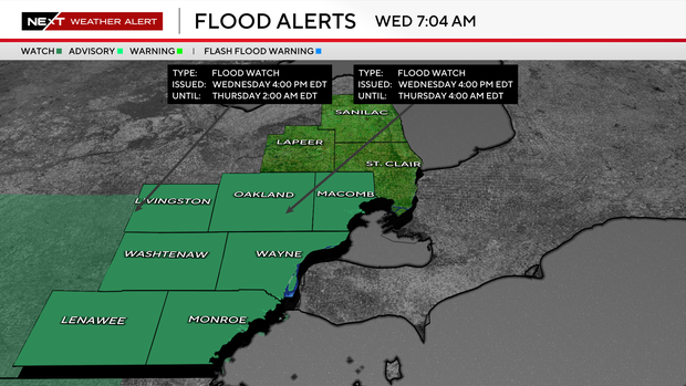
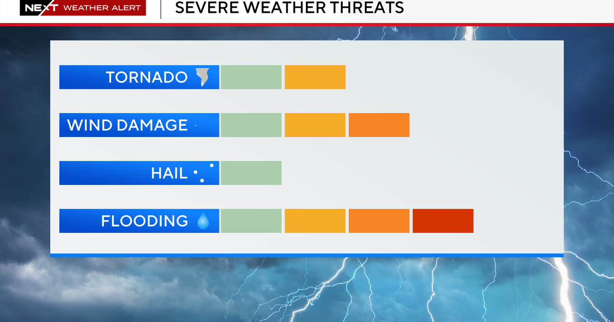
Thunderstorms developing this evening could produce 1 to 2 inches of rainfall across the region, with localized amounts approaching 3 inches, leading to a risk of flash flooding in low-lying and poor-drainage areas.
In response to the circumstances, the Great Lakes Water Authority has asked Southeast Michigan residents to be on the lookout if they live in low-lying areas that are prone to flooding during heavy rainfall although the expected rainfall is within the system's capabilities.
GLWA handles water and sewer services on a regional level for dozens of Southeast Michigan communities.
A reminder: do not drive through flooded roadways.
Stay informed
The CBS News Detroit weather team has declared Wednesday to be a NEXT Weather Alert Day. That means the meteorologists are stepping up forecasts and announcements as needed.
Should circumstances warrant, the CBS News Detroit weather team will livetrack the storm. You can follow the reports on air, online, on our mobile app and on our social media accounts such as YouTube.