Denver Weather: Snow Hits Colorado As Temperatures Plunge Into The Deep Freeze
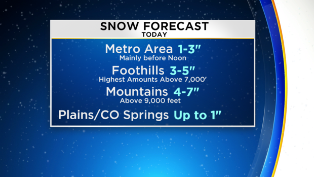
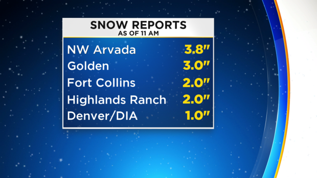
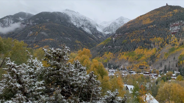
DENVER (CBS4) - Snow that hit the Front Range early Thursday morning will diminish through the afternoon with most areas measuring 1 to 3 inches with isolated higher amounts. Although the snow ends, the cold remains and records will be broken Friday morning as Denver experiences the coldest temperature ever recorded this early in the season.
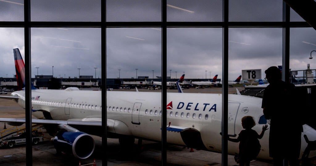
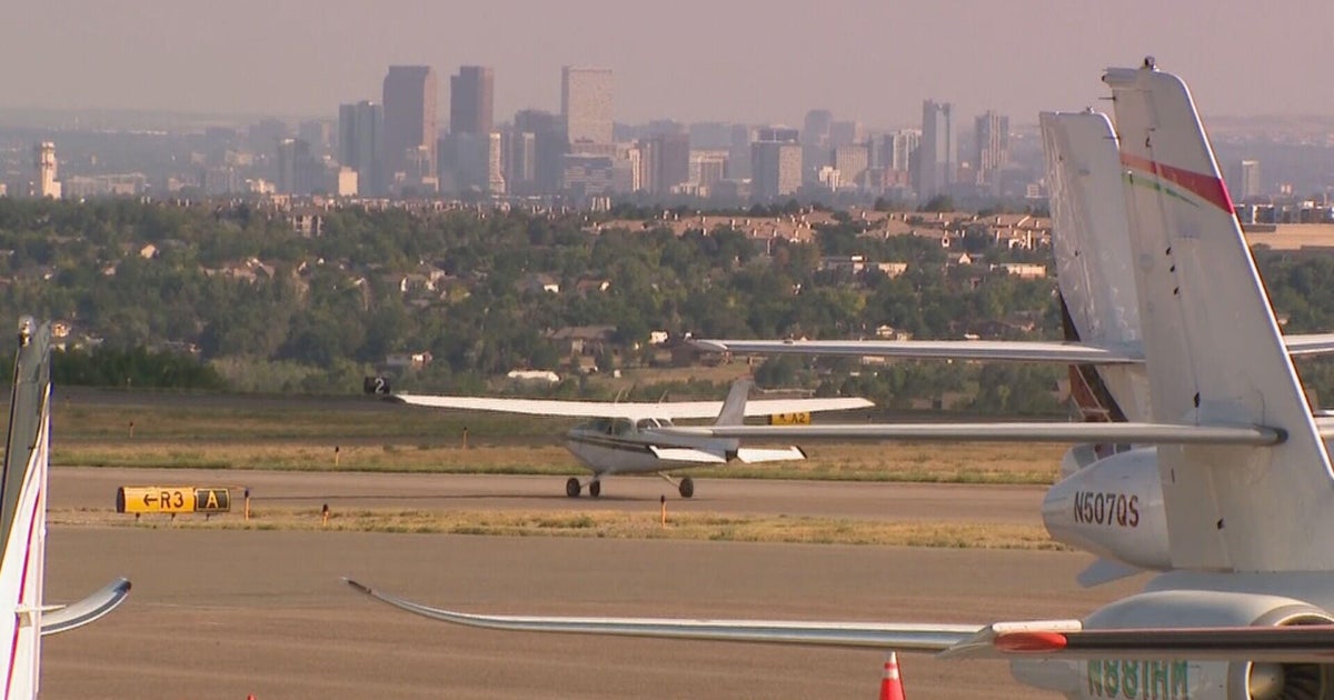
While the snow was falling heavily in Denver the FAA ordered a ground delay at Denver International Airport. Flights were still getting in and out of DIA, but many wound up being delayed. Numerous car crashes also resulted from icy and slick road conditions across the Denver metro area.
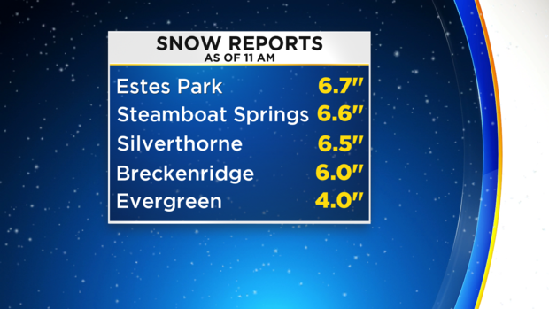
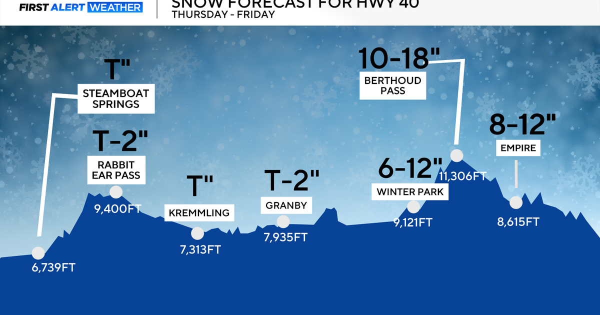
Snow will continue into the early evening for the foothills of Jefferson, Boulder, and Larimer Counties. Therefore amounts will be higher for areas such as Evergreen, Genesse, Nederland and Estes Park. These locations should see 3 to 7 inches of snow while the mountains (above 9,000') will see higher amounts.
Through 11 am Thursday, snow totals varied significantly across the state
The snow in the higher foothills and mountains should end before midnight and skies will clear almost statewide before sunrise on Friday.
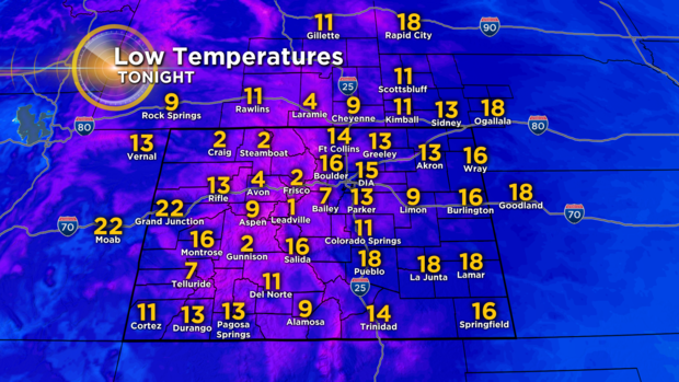
That will make for an exceptionally cold night for October with lows in the single digits both above and below zero in the mountains and mid-teens along the Front Range.
RELATED: Snowy Roads Lead To Dangerous Conditions On I-70 & Denver Metro Area Roads
Our forecast for Denver Friday morning is 15° which would not only be a record for the date (currently 22° set on 10/11/1946) but also the coldest Denver has ever been so early in the season.
"What a change from an 80 degree evening yesterday to 3 inches of snow," said Phil Curry, a CBS4 Weather Watcher from East Franktown.
