Denver Weather: More Snow Is Likely Later Today. Really!
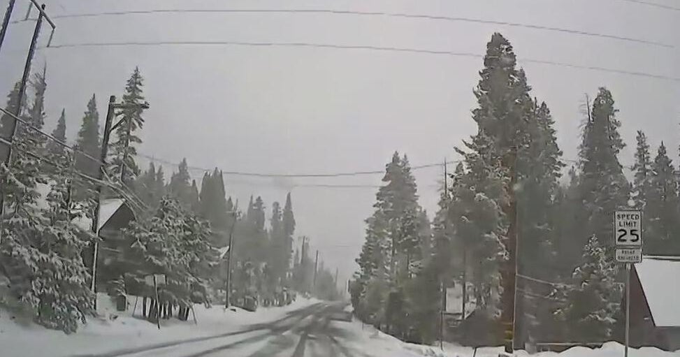
DENVER (CBS4) - After the biggest snowstorm in 18 years slammed the Front Range on Sunday, another winter storm crossing Colorado on Tuesday will bring more snow to the region.
The Tuesday storm is much smaller and much weaker compared to the weekend storm. And it is expected to take a track far too south for significant accumulation to the metro area.
Light snow could develop as early as 3 p.m. in the metro area. A better chance should develop after 6 p.m. and will continue through about 11 p.m. followed by a small chance through around sunrise on Wednesday.
Accumulation is expected to stay under 1 inch for most neighborhoods in the Denver area. Locations above about 6,000 in Douglas, Elbert, Jefferson Counties including Castle Rock, Conifer, and Elizabeth could get up to 2 inches.
The vast majority of the snow associated with this incoming storm will be across the in southern half of Colorado where more than a foot will pile up in some areas.
A Winter Storm Warning starts at Noon on Tuesday and continues through 9am Wednesday for I-25 south of Pueblo. The Walsenburg and Trinidad areas are expecting 5 to 10 inches of snow along with wind gusts up to 65 mph. The Sangre de Cristo and Wet mountains could get up to 17 inches of snow. Travel will become very difficult if not impossible over La Veta Pass.
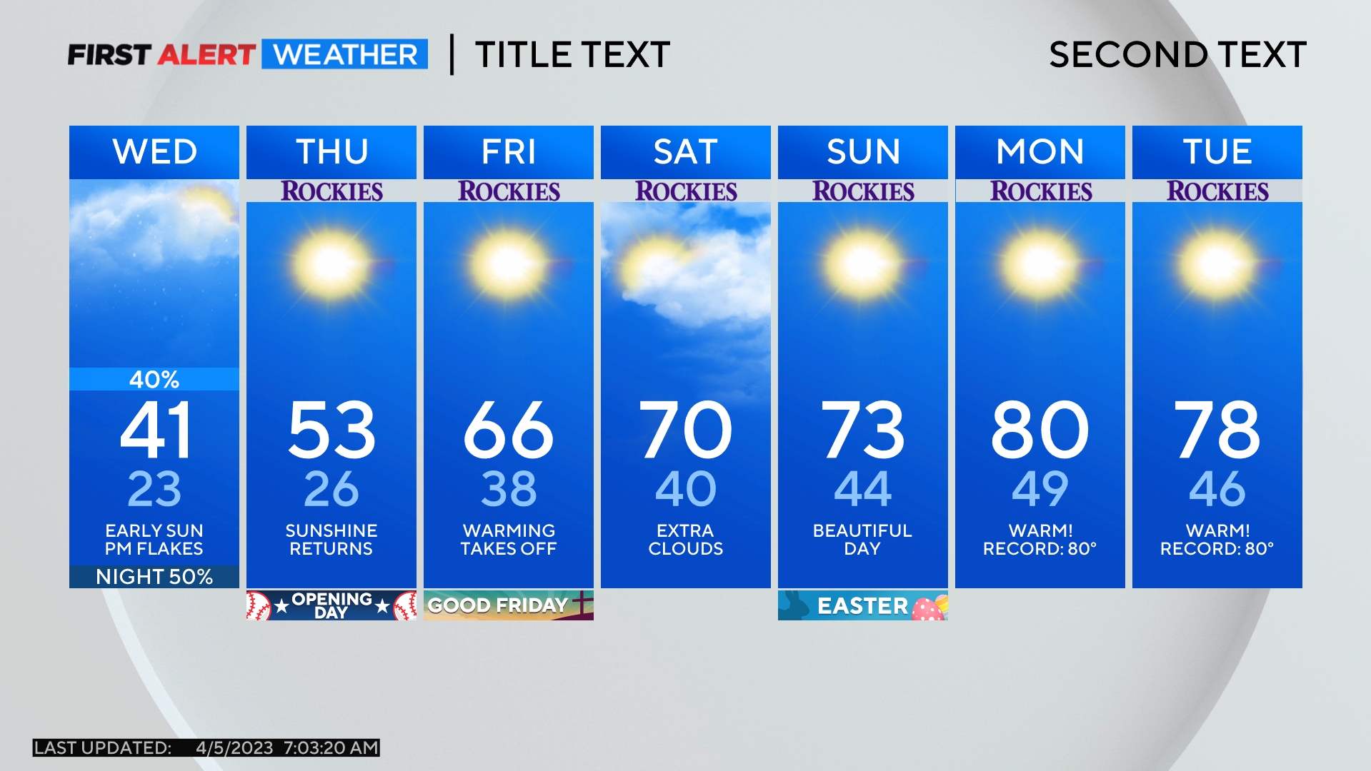
After the chance for a few lingering flurries Wednesday morning, skies will gradually clear in the afternoon on St. Patrick's Day but temperatures will remain chilly. A gradual warming trend is expected for the end of the week.
