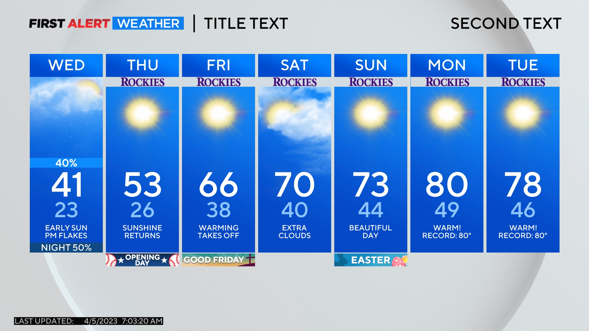
Colorado Snowstorm: Snow Totals Will Vary For Denver, Boulder & Fort Collins
DENVER (CBS4) - A Winter Weather Advisory starts for the Denver metro area at 6 p.m. Thursday. Ample moisture from the Pacific Ocean will stream directly into Colorado and while the mountains will get multiple feet of snow, the snow forecast for the Denver, Boulder and Fort Collins areas is far more complicated. Periods of snow are likely from Thursday night through Friday night, but accumulation will vary significantly.

The snow isn't being caused by a traditional storm system. Instead, it will be generated by the jet stream which will stay directly over Colorado through Friday night. This setup will cause narrow bands of snow instead of a large widespread batch of snow. Areas hit with a heavy snow band could easily see 10 inches or more of snow.
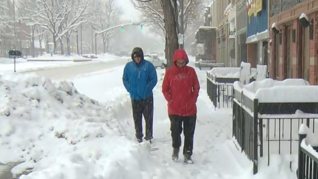
Without a heavier band, total accumulation will be in the 2 to 6 inch range. Therefore our forecast for Denver and the Front Range is for 2-6 inches with localized higher amounts.
Once the snow ends Friday night, dry and somewhat milder weather will prevail on Saturday before a good snow chance returns to the mountains and eventually the Denver metro area on Sunday.