Chicago Weather: Temperature Drop, High Winds, Rain And Possible Snow Ahead
Watch CBS News
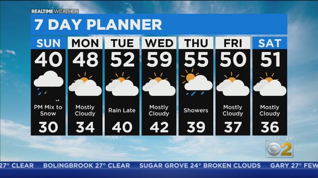
A light wintry mix is expected in the Chicago area Sunday afternoon and will be changing to light snow Sunday night. Some slushy accumulation is possible.
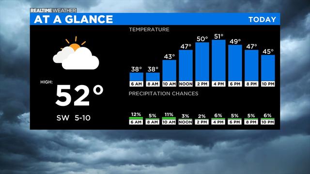
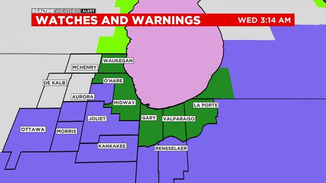
Morning showers are possible Wednesday, but a dry day is ahead.
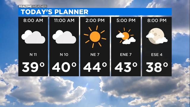
Breezy conditions will be followed by a wintry mix later Tuesday night.
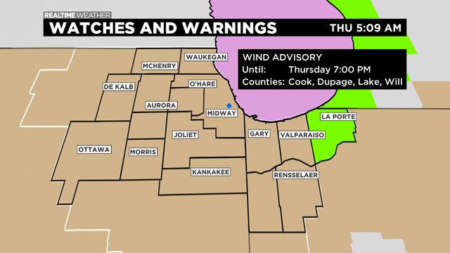
High winds are causing high waves and dangerous conditions near the lakefront.
As of mid-afternoon Tuesday, the Chicago area had seen a wintry mix southeast of the city and into Northwest Indiana.
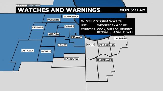
A winter storm is on the way, here's what you need to know.
Check back for live storm updates.
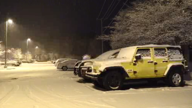
Snow is falling and bitter cold temperatures are on the way.
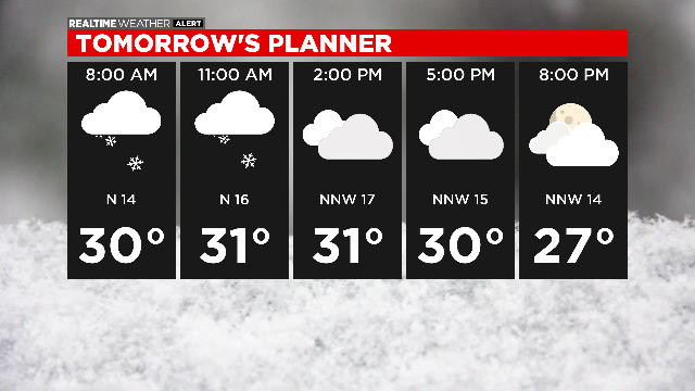
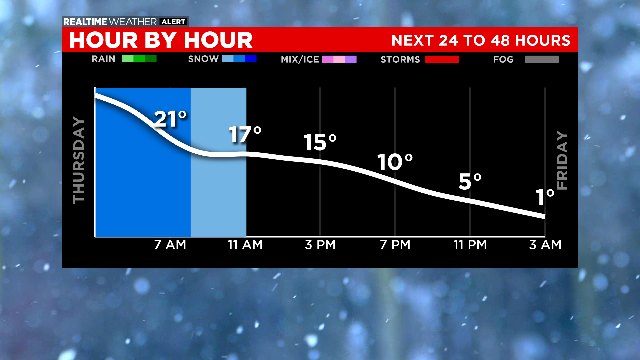
Snow arrives Wednesday afternoon and continues through Thursday morning.
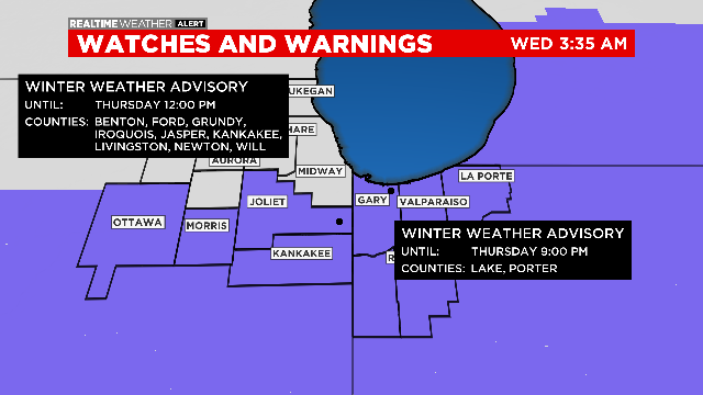
Chicago areas could see over 4 inches of snow by Friday.
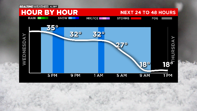
Snow arrives by the evening commute on Wednesday and lingers into Thursday through about midday.
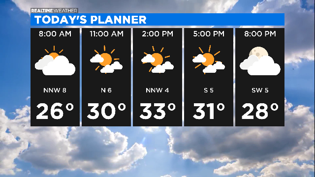
It's going to be a colder week and there is a chance for snow.
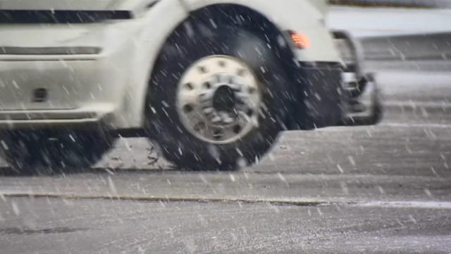
The snow had made its way out of the Chicago area as night fell on Sunday, leaving behind rain as temperatures warmed.
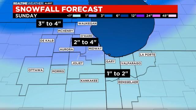
The worst of the snow was over for most of the Chicago area as of 3 p.m. Sunday, with rain taking the place of the snow from south to north.
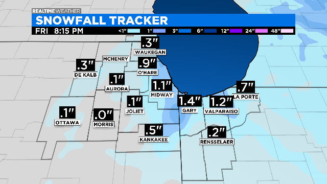
A few lake effect showers are possible early Friday morning and then again in the evening.
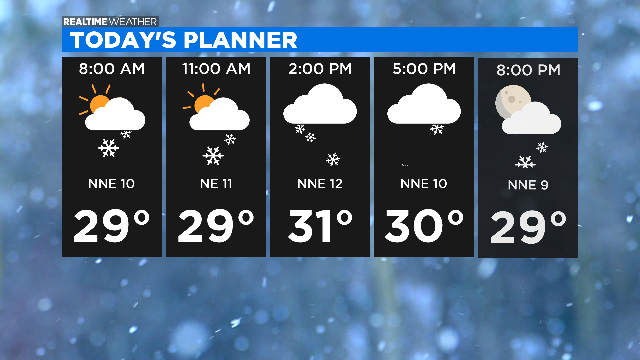
Light snow continues to fall Thursday in the Chicago area after a night of heavier snow.
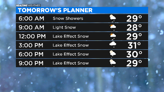
Light snow will overspread the area this evening from south to north, bringing light accumulations by morning.
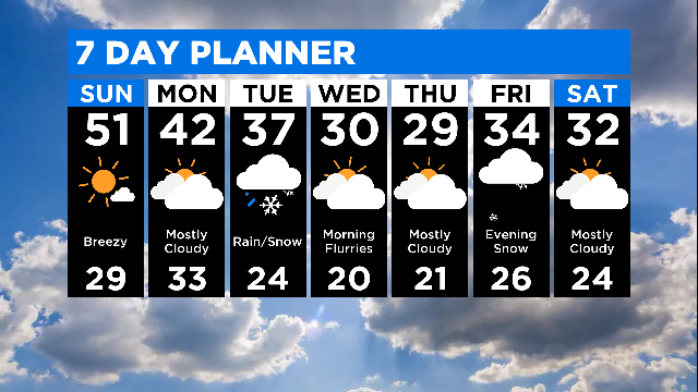
Sunshine will finally return and highs will reach near 50 degrees Sunday.
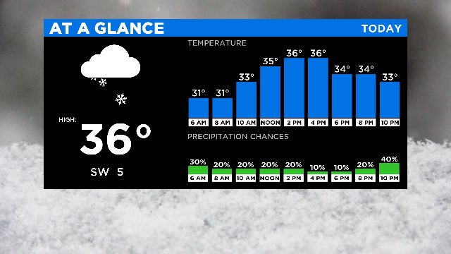
Light snow is possible into Saturday, but a big warmup is on the way.
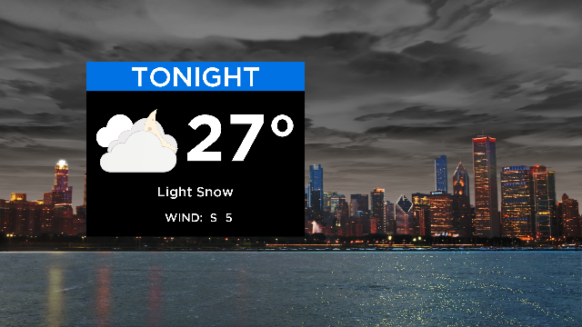
A coating of snow is on the way, then a weekend warmup, followed by a possible winter storm.
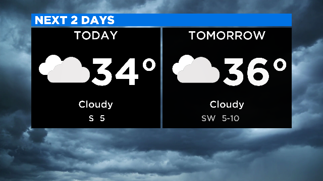
The cloudy conditions continue.
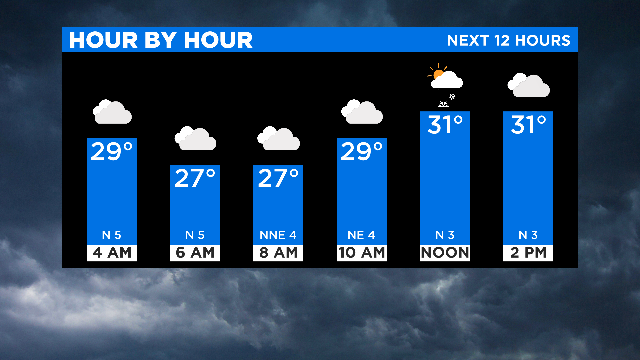
The cloud coverage continues and a light snow is possible.
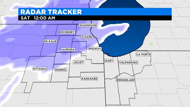
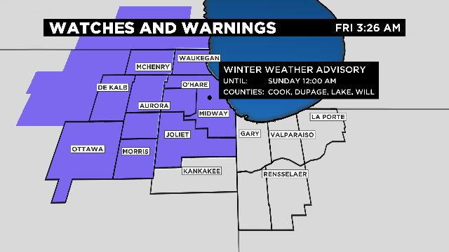
Roads will be slick for the Friday morning commute as rain continues to move through the Chicago area.