Near-Record Heat To Give Way To Rain, Cooler Air
The near-record breaking heat that blanketed the Chicago area on Wednesday is expected to give way to cooler air the remainder of the week.
Watch CBS News
The near-record breaking heat that blanketed the Chicago area on Wednesday is expected to give way to cooler air the remainder of the week.

Chicago has seen an "unusually large number" of days with 90-degree weather so far this year, the National Weather Service said in a statement issued Sunday.

Severe thunderstorms are moving through Chicago area Sunday that could produce 100 mile per hour winds and quarter size hail, according to the National Weather Service.

Thanks to fast-moving thunderstorms that hit the area mid-day and late Friday night, Chicago cooled off in the wake of Thursday's scorcher that reached a near record high.

Chicago's wild weather continued Sunday, as the rising mercury sent people scrambling to do anything they can to stay cool.

Strong storms bringing heavy rainfall to the Chicago area Sunday night could cause flash flooding, according to the National Weather Service.

Torrential downpours, cloud-to-ground lightning, wind gusts in excess of 70 mph, and hail as large as golf balls could all be in store for northern Illinois and northwest Indiana Sunday afternoon and evening, according to the National Weather Service.

It could be back to reality for early April -- complete with freezing temperatures.

Video of truck trailers flying through the air in North Texas underscore National Weather Service reminders that when they suggest taking cover from tornadoes, they're very serious.

Chicago did not, it turns out, break the record for the warmest day ever in March: 88 degrees, set in 1986.
Once again, not only has the record high temperature for a March day in Chicago been broken, but the mercury has surpassed 80 degrees for the fifth day in a row.

For the fourth day in a row, a record-setting high temperature has been set in Chicago.

CBS 2 Meteorologists Megan Glaros and Steve Baskerville report a winter storm watch and a winter weather advisory for all Chicago area counties from Thursday evening until Friday morning.
Unseasonably warm weather is expected to move into the Chicago area next week -- but not before a cold and snowy weekend.
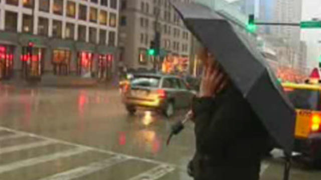
The winter storm Friday that dropped up to 10 inches of snow on the Chicago area is over -- but sloppy conditions could continue with rain and warmer temperatures expected this week.

With little or no snow in the forecast, Chicago may soon break the record for the least-snowiest start to winter.

With the snowfall for the season not expected to exceed two inches by next week, this winter, which has already gotten off to a remarkably slow start with regards to snowfall, is shaping up to be one of the least snowy on record for the Chicago area.
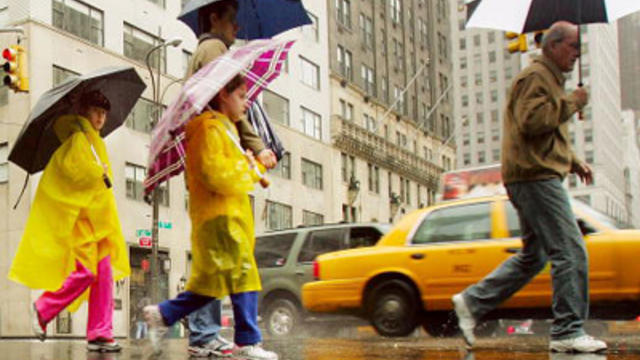
By noon on Wednesday, Chicago had already broken a record for the third wettest year on record, and counting.
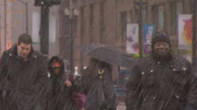
Chicagoans may not want to hear it, lest it jinx the nearly snow-free season we've enjoyed so far, but the National Weather Service says we've gotten off to a late start for the 2011-2012 snow season and that could bode well for the amount of snow we'll see this winter.
Rain is expected to move into the Chicago area Saturday and bring colder temperatures the remainder of the week.

The bad news is the city is delaying opening its outdoor ice rinks; the good news is it's because it's too warm outside.

Not a single flake of snow has fallen in Chicago this fall, even as an early-season snowstorm socked the East Coast and left millions without power late last month.
A freeze warning has been issued as a cold, dry air mass is expected to move into the Chicago area early Saturday, bringing below-freezing temperatures that could kill sensitive vegetation.
A fast moving thunderstorm with lightning and hail is expected to move into the Chicago area Tuesday night.
More choppy waters on Lake Michigan and widespread frost may be in store for the Chicago area Saturday, but sunnier days are expected to follow on its heels.