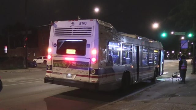
Let’s talk snow. Here’s when you will see some flurries
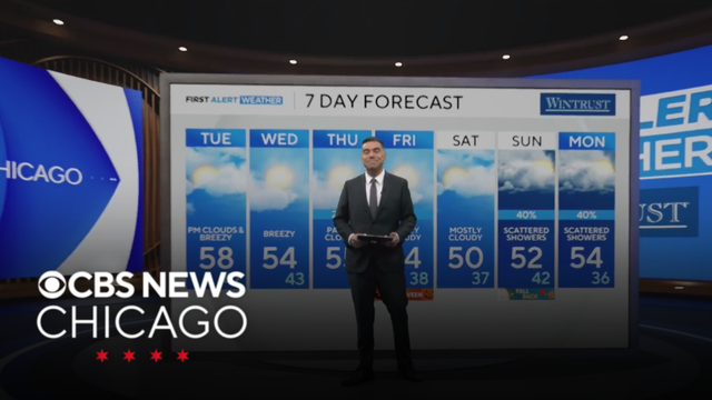
The next chance of rain returns Thursday night, lasting through the weekend, where some snow flurries will make an appearance.
Watch CBS News
The next chance of rain returns Thursday night, lasting through the weekend, where some snow flurries will make an appearance.

Meteorologist David Yeomans has your 11 a.m. First Alert Weather forecast for Monday, Nov. 3, 2025.
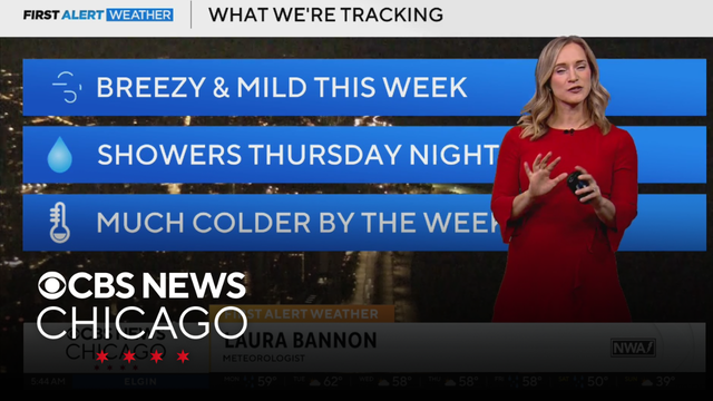
Meteorologist Laura Bannon has your 5 a.m. First Alert Weather forecast for Monday, Nov. 3, 2025.
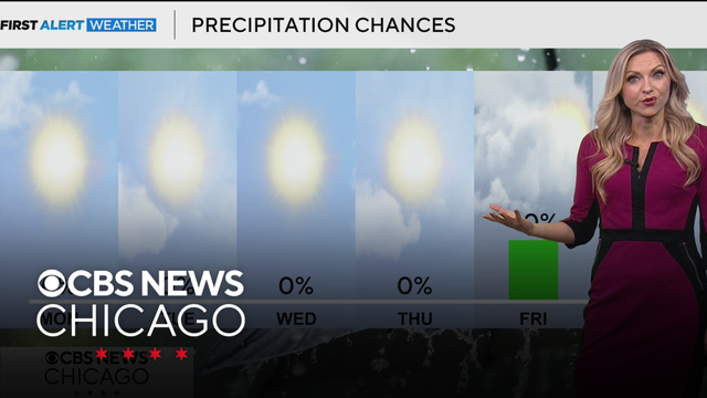
As we start the new workweek, nice and warm weather takes over Chicagoland.
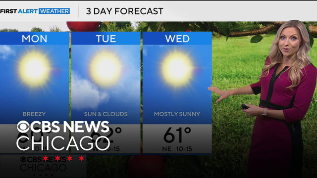
Temperatures climb above normal in the lower 60s Monday through Wednesday.
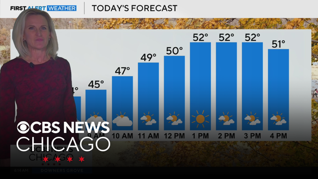
Meteorologist Mary Kay Kleist has your 6 a.m. First Alert Weather forecast for Sunday, Nov. 2, 2025.
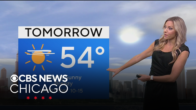
Don't forget to fall back an hour as daylight saving time ends. Meteorologist Kylee Miller has the latest in First Alert Weather.
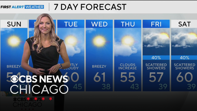
Temps will climb back into the 60s for the upcoming workweek. Meteorologist Kylee Miller has the latest.
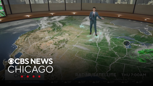
Meteorologist David Yeomans has your 11 a.m. First Alert Weather forecast for Thursday, Oct. 30, 2025.
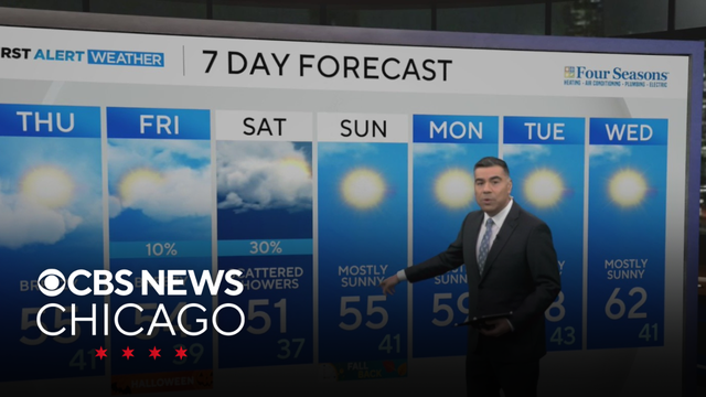
Gusty winds and cool temperatures are in the forecast through Thursday.
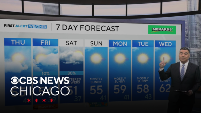
Gusty winds and cool temperatures are in the forecast through Thursday. Chief Meteorologist Albert Ramon has the latest in First Alert Weather.
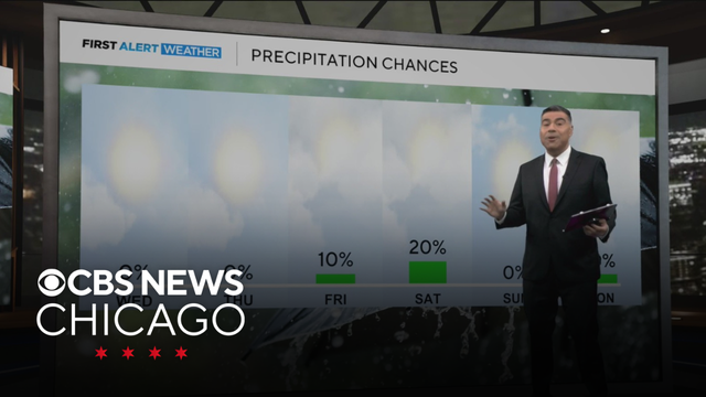
Gusty east winds blowing off Lake Michigan keep temperatures in the 50s on Wednesday and Thursday. Chief Meteorologist Albert Ramon has the latest.
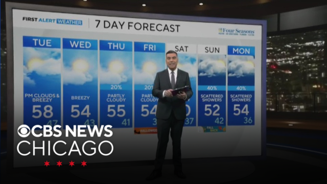
Chief Meteorologist Albert Ramon has the latest on Chicago’s stretch of 50s and rain chances later this week.
Expect a dry skies with a low of 46 degrees for Monday night.
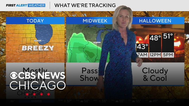
Meteorologist Mary Kay Kleist has your 5 a.m. First Alert Weather forecast for Monday, Oct. 27, 2025.
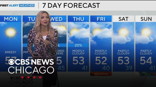
Our next chance of rain arrives Tuesday afternoon and lasts through Wednesday.
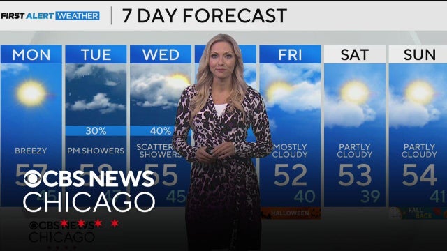
Our next chance of rain arrives Tuesday afternoon and lasts through Wednesday.
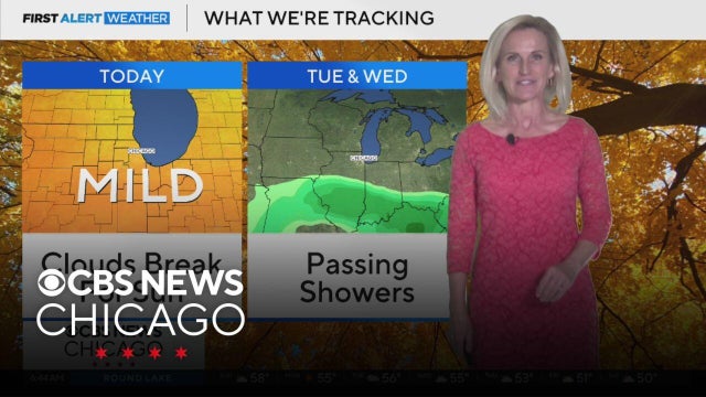
Meteorologist Mary Kay Kleist has your 6 a.m. First Alert Weather forecast for Sunday, Oct. 26, 2025.
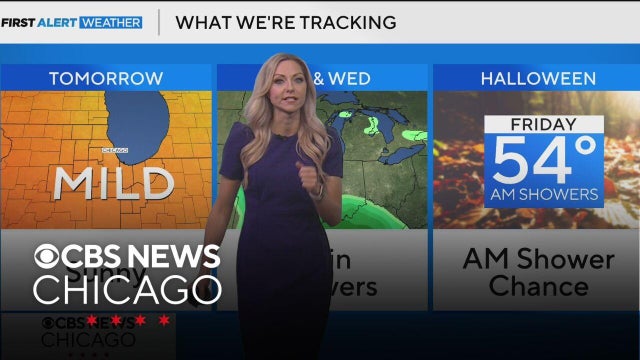
By Sunday afternoon temperatures climb to near 60 degrees, with mainly sunny skies.
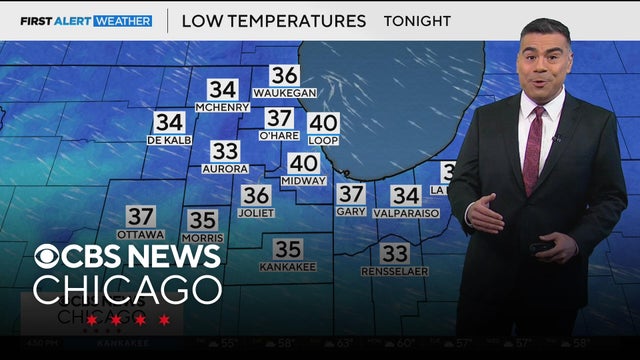
Cold, increasingly cloudy Friday night. Lows in the mid-30s.
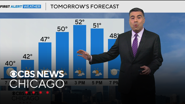
After some patchy frost Thursday morning, expect highs in the lower 50s.
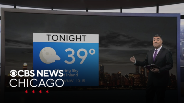
If you haven't done so already, bring in any of your sensitive plants, as they could get damaged or destroyed from these frosty conditions coming our way.
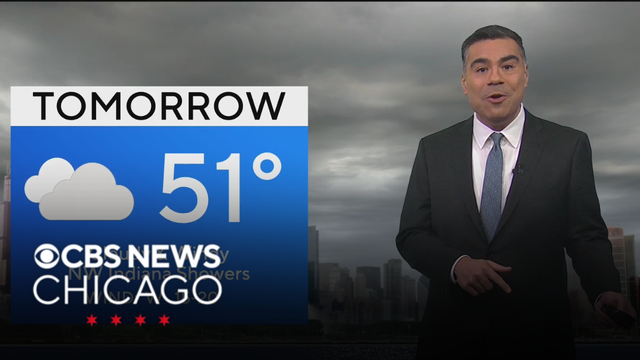
Brisk winds last on Wednesday, with highs being much cooler in the lower 50s, at times it could feel like the 40s.

Lows dip down into the lower 40s for most with brutal winds with gusts towards 30 to 40 mph.
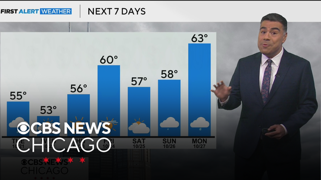
Light rain can be expected for the early overnight before a few more lingering showers remain Tuesday and Wednesday.