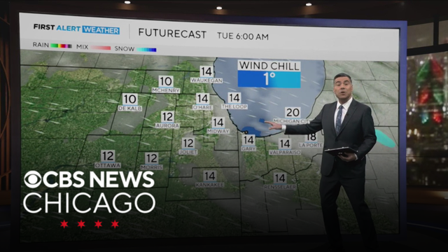
Breezy with flurries in Chicago area on Tuesday
Clouds return Tuesday with light snow flurries possible at times, then another clipper system brings a higher chance of light snow on New Year's Eve.
Watch CBS News
Clouds return Tuesday with light snow flurries possible at times, then another clipper system brings a higher chance of light snow on New Year's Eve.
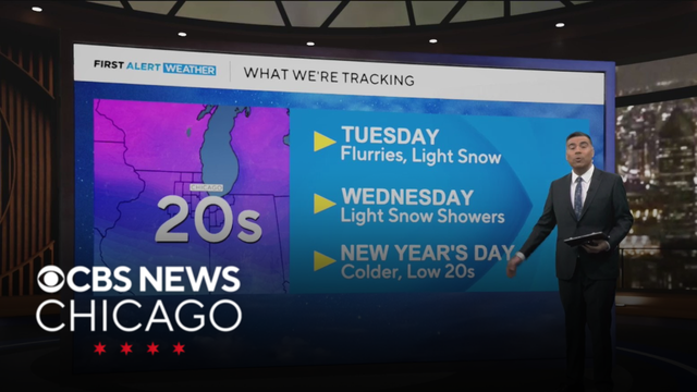
Expect clearing skies as temps dip in the Chicago area, with some light snow in Northwest Indiana. Chief Meteorologist Albert Ramon is tracking the latest.
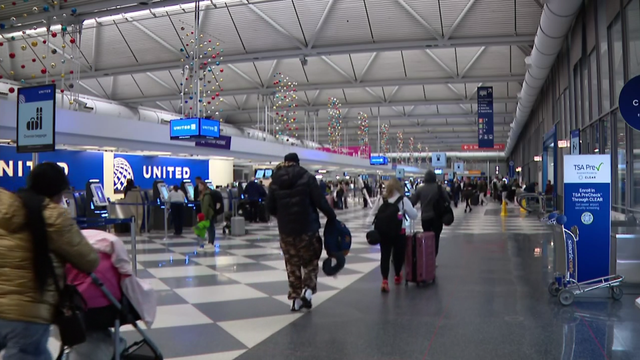
Chicago started the last Monday morning of 2025 with nasty wind and snow.
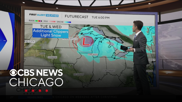
Meteorologist David Yeomans has your 11 a.m. First Alert Weather forecast for Monday, Dec. 29, 2025.
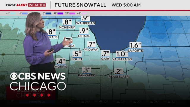
Meteorologist Laura Bannon has your 9 a.m. First Alert Weather forecast for Monday, Dec. 29, 2025.
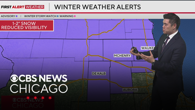
A winter weather advisory is also in effect until 3 p.m. for Cook, Kane, McHenry, Lake County, and DeKalb counties in Illinois.
The advisory will remain in effect overnight and continuing until 3 p.m. Monday.
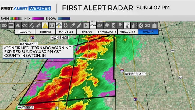
Newton and Jasper counties were at the center of tornado warnings Sunday afternoon.
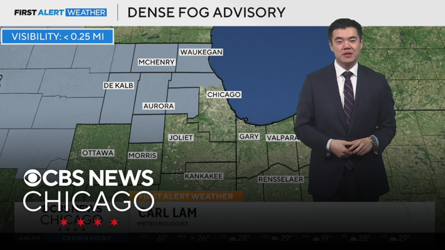
Meteorologist Carl Lam has your 6 a.m. First Alert Weather forecast for Sunday, Dec. 28, 2025.
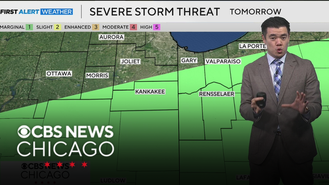
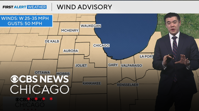
A Wind Advisory has been issued for Chicago, the suburbs, and Northwest Indiana. Winds will be sustained between 25 and 35 mph, and gusts could be up to 50 mph, which could lead to some isolated power outages.
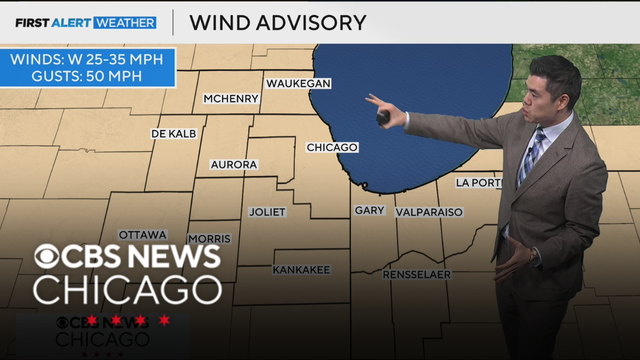
Sunday will be a wild day with rain, thunderstorms, falling temperatures, strong winds, and flurries. Meteorologist Carl Lam has the latest.
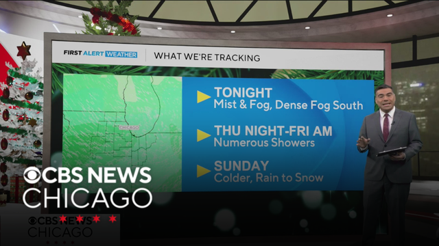
Areas of fog, with cloudy skies overnight and temperatures settling into the upper 30s to low 40s.
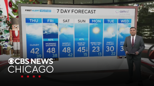
The warm and above-average conditions will stick around until Sunday, which is when our next cold front will slide through. Chief Meteorologist Albert Ramon has the latest.
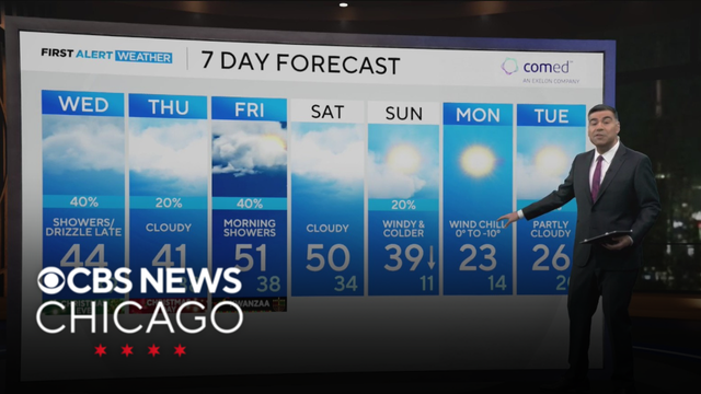
After a dry start on Wednesday morning, light rain and drizzle move in during the afternoon and continue into Christmas night, with areas of fog developing and becoming thick in spots overnight.
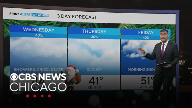
Christmas Eve will see the return of light rain and drizzle that will last into the big day. Chief Meteorologist Alber Ramon has the latest forecast.
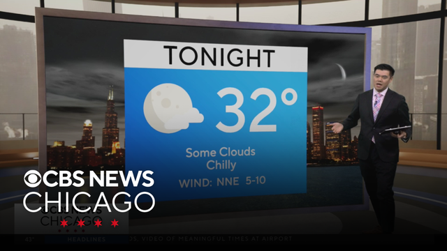
Meteorologist Carl Lam has your 11 a.m. First Alert Weather forecast for Tuesday, Dec. 23, 2025.
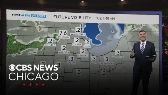
Expect temps to be in the mid-to-upper 40s for Tuesday.
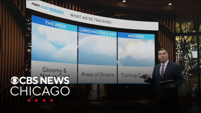
Temperatures climb again on Tuesday, reaching the mid-to-upper 40s. Some breaks in the clouds are possible, though lingering low clouds could keep much of the area gray.
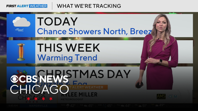
Meteorologist Kylee Miller has your 5 a.m. First Alert Weather forecast for Monday, Dec. 22, 2025.

Get ready for some milder temperatures to make a return that will make it feel more like the middle of fall than the beginning of winter. Meteorologist Carl Lam has the latest.
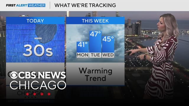
Meteorologist Kylee Miller has your 6 a.m. First Alert Weather forecast for Sunday, Dec. 21, 2025.
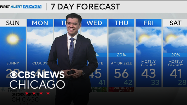
Meteorologist Carl Lam is tracking a cold, but sunny Sunday ahead of next warm up.
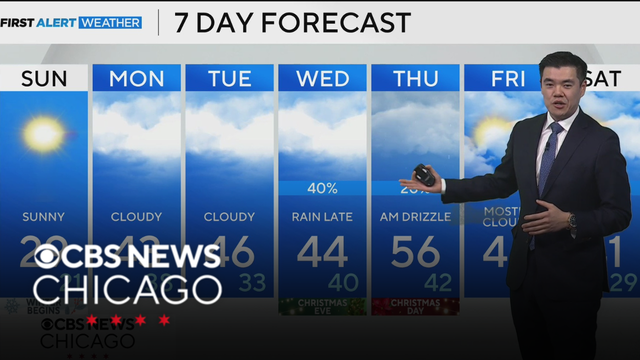
If you're planning on going to the Bears game tonight, temperatures will be falling through the 30s, but feeling like the 20s due to blustery conditions.
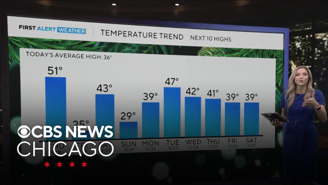
Rain will continue Thursday morning, then a strong cold front will sweep through during the afternoon. As that happens, temperatures will drop quickly from the 40s into the 30s, and rain briefly changes to wet snowflakes.
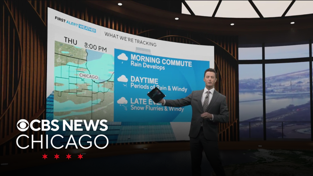
Following a mix of sun and clouds and mild temperatures on Wednesday, areas of drizzle and rain showers develop and become more widespread by the Thursday morning commute.