Strong winds to bring wildfire smoke back to Massachusetts skies on Saturday

Storms and downpours are expected to move through Massachusetts on Saturday, paving the way for the return of wildfire smoke.
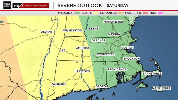
The WBZ-TV Weather Team has issued a Next Weather Alert for Saturday from 2 p.m. through 11 p.m.
Wildfire smoke returns
Friday was literally and figuratively a breath of fresh air as wildfire smoke from Canada pushed southward down into the Mid-Atlantic region. But on Saturday, an approaching storm system will bring increasing southwest winds, sending it right back up over New England during the day.
While this bout of smoke will be brief, it will still bring a period of poor air quality and hazy skies.
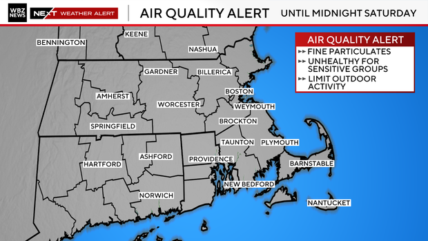
Once again, Air Quality Alerts are in effect due to high concentrations of fine particulates that can be unhealthy to breathe.
By midnight, most of the thicker smoke should have moved along and will not make a reappearance on Sunday.
Saturday storms
On the storm front, we'll be watching out for action starting around or just after 2 p.m. For anyone trying to enjoy outdoor activities, the morning hours are the safest for dry conditions and the least wind. The chance of showers will increase in the afternoon, with the highest risk of storms in the evening.
Any storms that move through will have the potential for torrential downpours (over 1 inch locally), damaging wind gusts, and lightning.
Even an isolated tornado cannot be ruled out, with the highest chance in western and central Massachusetts. Outdoor events should monitor changing conditions throughout the day.
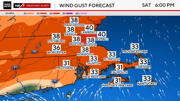
Outside of the storm risk, it'll just be a downright windy afternoon. Southwest gusts will increase into the 25- 40 mph range ahead of the front.
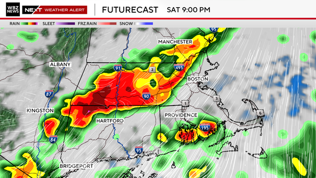
By midnight, most of the stormy weather should have moved out, with clearing skies for Sunday. It's looking like a beautiful second half of the weekend with mostly sunny skies, no smoke, a fresh breeze, and low humidity. Easily the pick!


