Weather Shenanigans For St. Patrick's Day Weekend
Find Eric Fisher on Twitter and Facebook
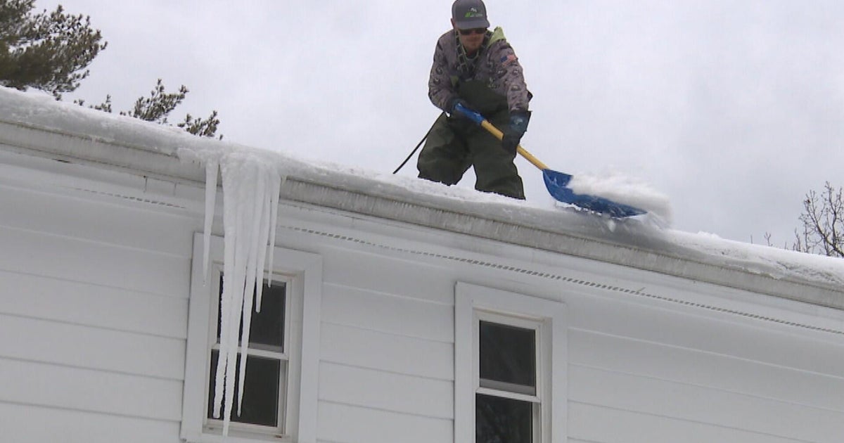
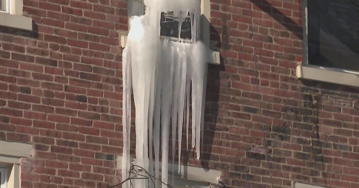
First the good news - it's fantastic out. Much deserved signs of spring are all around us this week as we shake off some of winter's icicles and think about the season to come. Highs in the 40s (and even some low 50s possible Wednesday) will provide an excellent gradual melt of our still impressive snow pack through the mid-week, and it's our warmest stretch since Christmas. Even when we cool off for Thursday and Friday (upper 30s to near 40) the melting will continue. This is exactly what we needed to see happen to slowly reduce our flood risk. Plus, we have Daylight Saving Time raising evening spirits with twilight to 7pm. Things are looking up!

The last time we hit 50º in Boston was the day the Patriots beat the Colts for the AFC Championship.
That being said, it's a big weekend on tap. St. Patrick's Day events will be in full swing, and Boston Marathon runners are gearing up for some very long training runs. Plus - it's the weekend! We've all got stuff to do. Unfortunately it doesn't appear that the weather is going to treat us too kindly, and we may have to use the dreaded s-word again.

The energy you see on this 500mb vorticity map that's off the Aleutian Islands of Alaska is the parcel we'll be tracking. It heads toward the West Coast, climbs a ridge into Canada, then shoots down into the Northeast over the weekend. Source: Weatherbell
The energy for this storm is still a long way away - not even to Alaska yet. So of course there will be some forecast fluctuations over the next few days as that energy is better sampled and the atmospheric picture gets clearer. But models have steadfastly promoted a storm for Saturday and Sunday, which may even be able to hang out close enough to the coast to impact our weather on Sunday. We can say there is high confidence that we'll be dealing with some messy conditions. What we don't have high confidence on yet is exactly what is going to be falling from the sky?

18z GFS model run shows a cold high over SE Canada, and already a solid CAD (cold air damming) signature east of the Appalachians. Source: Weatherbell
In favor of a colder solution, we have snow on the ground (sorry to say it won't all melt this week) and a pretty strong cold high pressure over New England to start. It's a bit unclear how long this will be able to hold down the fort and keep our thermal profiles cold enough for snow. Early indications are that we should at least start with some snowflakes on Saturday before changing over to a chilly rain.

Lucky us, we get the trough this weekend. Vast majority of the country is in full spring thaw mode.
In favor of a warmer solution is the storm origin - which will be coming at us out of the southern states. The low to mid-level flow looks to be generally southerly, which should be able to erode the dome of cold air in place initially. The ECMWF is particularly mild with this storm, bringing us very limited snow in the area. Its ensemble members also shy away from significant snow or ice (although there are enough snowy solutions to be wary). The milder solution is a little higher impact in my mind, because it'll increase the amount of liquid precipitation to exacerbate flooding issues. The ground is still frozen, we'll have been busy melting snow all week long, and if we add over an inch of new rain there will be a whole lot of standing water and potentially some basement/ceiling issues to go along with it. Definitely a storyline to monitor through this week.

ECMWF EPS mean sea level pressure anomaly for Sunday morning. This gives the consensus weight to where the storm will set up, just east of New England with us on the cold side. Source: Weatherbell
As the storm continues on Sunday we get another good shot for snowflakes. Colder air will move back in and the back edge of the storm should provide the precipitation. Sitting several days out, it's still impossible to know exactly where that wrap-around band will set up. Then it becomes a question of how quickly the low spins away from us. The ECMWF is more progressive and gives us a mainly dry Monday. The GFS lingers the LP off the coast and keeps rain/snow chances around into at least the first half of Monday. At this point, I'd favor the faster solution a little more and keep a mainly dry/cool Monday in the forecast.
The Bottom Line: The early call is for wet and raw conditions both days this upcoming weekend. We'll need to monitor how much rainfall is expected for any potential flooding issues. I do think we'll end up seeing some snowfall, but it likely won't be significant enough to cause major problems locally. Will it be enough to break the snow record in Boston? We need 1.9", and I don't think we're going to pull it off with this storm. We'll see how the data trends heading through this week and adjust accordingly. The highest risk zone for accumulating snowfall is central New Hampshire eastward through Maine, where it's not out of the question that totals could reach a foot. In any case it's classic March weather - two steps forward and one back as we break out of winter and proceed to spring.