Severe thunderstorms possible in Massachusetts Tuesday evening. See latest weather forecast and live radar.
It sure felt like summer today across most of the Boston area with temperatures soaring well into the 80s. Tuesday evening, we keep the summer weather vibes going with a threat of some scattered severe thunderstorms in Massachusetts.
The National Weather Service has issued a severe thunderstorm watch for portions of southern Vermont, western Massachusetts and New York State through 10 p.m. tonight.
While central and eastern Massachusetts and New Hampshire are not currently under the watch, we still believe that there is a risk for some isolated to scattered thunderstorms.
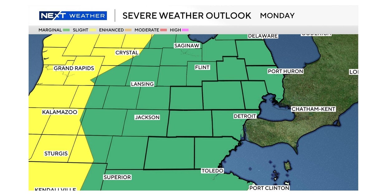
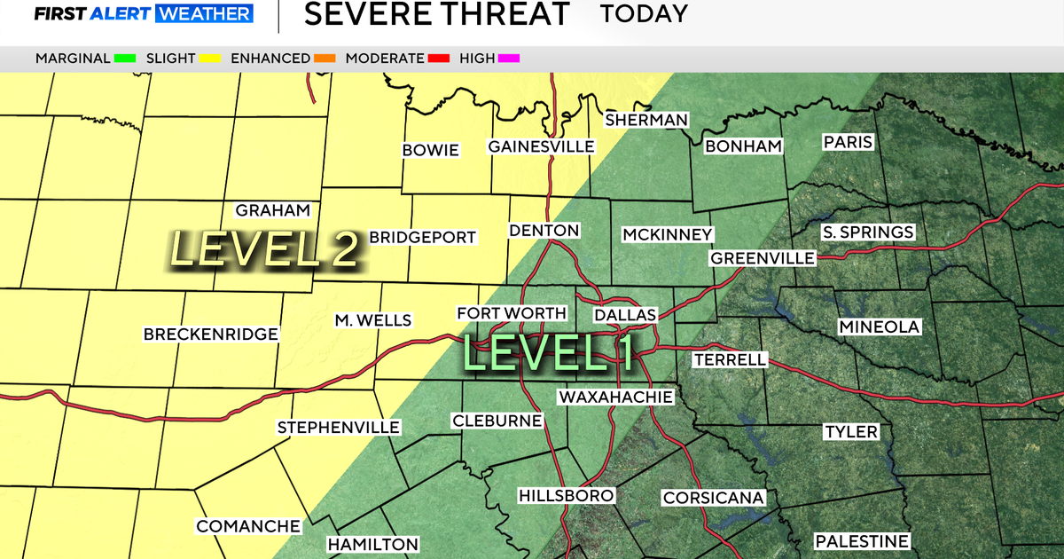
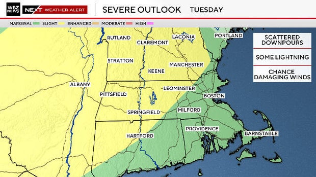
The Storms Prediction Center has included areas in yellow in a "marginal" risk for severe weather this evening, essentially a level 2 of 5 risk. Eastern Massachusetts, shaded in green, has a lower risk, level 1.
We expect a broken line of thunderstorms to form in New York State late Tuesday afternoon and push eastward through this evening.
Massachusetts Weather Radar
The timeframe to watch in southern New England is from 6 p.m. to 11 p.m. Storms could arrive before 8 p.m. to the north and west of Boston, 8 to 10 p.m. in the Boston/Mass Pike area. After 10 p.m., they will head south of Boston and dissipate.
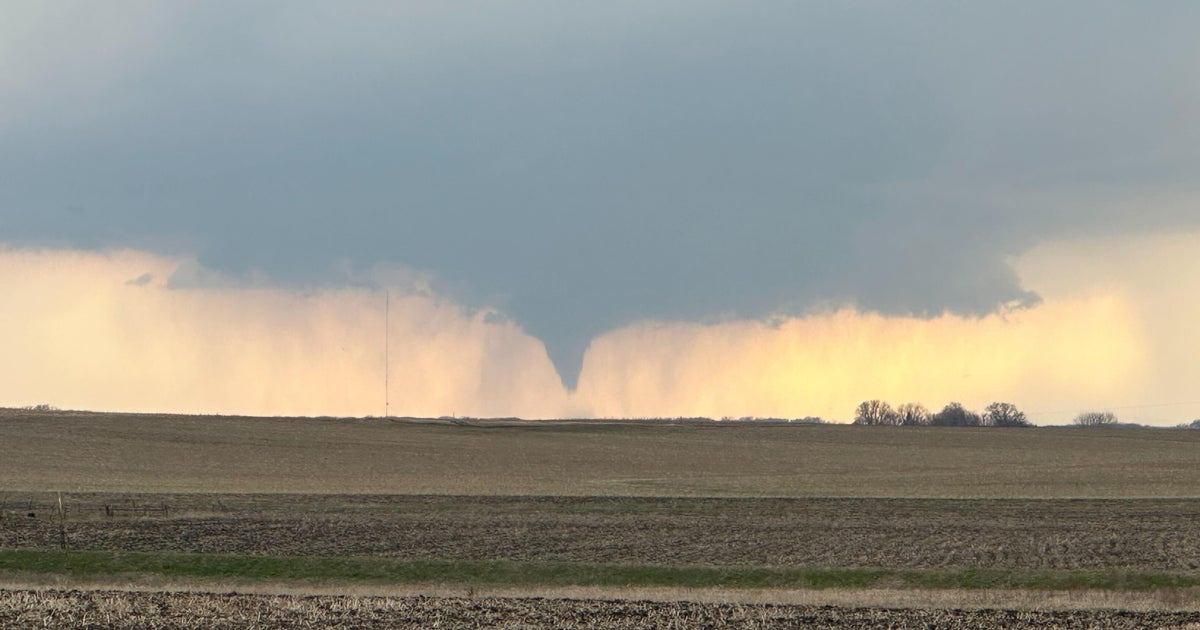
There is a much higher risk of storms reaching severe levels in New York, Vermont and western Massachusetts (generally between 4 p.m. and 8 p.m.). During this time, there may be frequent lightning, damaging wind gusts and even a small risk of an isolated tornado.
As the storms move into eastern Massachusetts (8 p.m. and later), they will lose some steam and likely drop below severe thresholds. There may still be some leftover downpours or a few rumbles of thunder, but by 10 p.m. to 11 p.m., any and all cells should be dissipating.