Record highs possible Friday; Close call with ocean storm to end weekend
By Terry Eliasen, WBZ-TV Meteorologist, Executive Weather Producer
BOSTON - Same ol' weather story: We get a little taste of winter, (some icy mix Tuesday night) and then we go right back to the mild pattern.
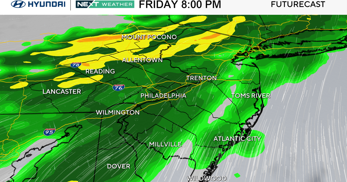
A few rain showers which will arrive Thursday evening. Nothing major or alert worthy here, just a few hours of light to moderate rain.
High temperatures Thursday will be slightly cooler, but still well above average.
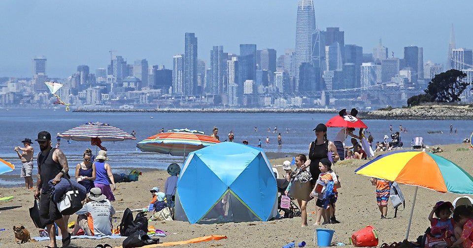
The feel of spring arrives on Friday!
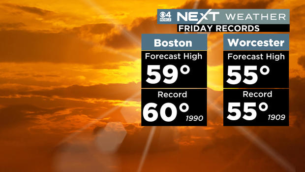
We will get awfully close to record high temperatures Friday afternoon. Boston's record of 60 degrees was set back in 1990; Worcester (55) was way back in 1909.
The weekend will be a bit cooler (low to mid 40s). We will be watching a storm system to our south, which will make its closest approach Sunday night and Monday.
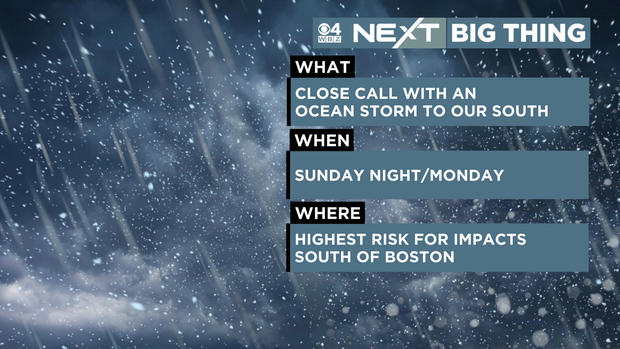
This is really the next significant chance of any major storminess or "alert-worthy" weather. Right now, odds favor just a fringing along the south coast of New England.
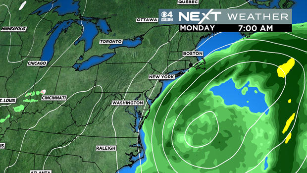
If it were to track a bit farther north, we could be in for a more impactful event with rain and snow possible.