BLOG: Mild Now...Chilly Later
Watch CBS News
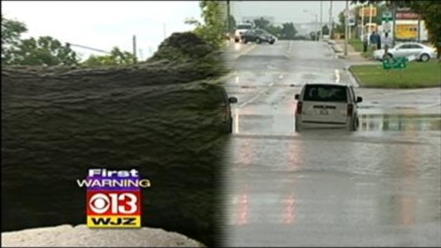
Flash flooding shut down several streets, from Baltimore up to Philadelphia, stranding drivers who tried to make it through the standing water.

Homes condemned. People are forced out after strong storms roll through the Baltimore area.

As severe storms moved through Maryland on Thursday night, the calls flooded into the WJZ newsroom—reports of downed trees, flooding and damaged buildings.

The heat has backed off from the peak earlier this week, but it's still warm and muggy. Add a stalled front to this air mass and you get the showers and thunderstorms that we are seeing outside today.
At 2 p.m.today, we are already up to 97 degrees. That ties the record for the date, that was set way back in 1895.
The storm that caused all of our rain and severe weather is still hanging around but has moved up over New England. That's far enough that we saw a lot of sunshine today and temperatures rose up to 82 degrees.

The National Weather Service is still looking into whether any actual tornadoes touched down in Maryland on Thursday. The other problem we saw was flash flooding.
The stormy and wet weather pattern continues.
After a day and a half of clouds and rain, the sunshine returned today. And after only making it to 50 degrees yesterday, the sun helped warm us up to 74 degrees this afternoon. We are actually going to string together a few warm days but they will come with a price.

After yet another damp, cool, dreary spring day yesterday a warm front will be to our north today (struggling mightily as been so often the case this spring) and milder air will flood into the region.
Areas of rain and thunderstorms continue to skirt through the state today.
A tornado watch is in effect for most of the state through 9 pm, and 11 pm for the northern Eastern Shore.