WEATHER BLOG: Steamy
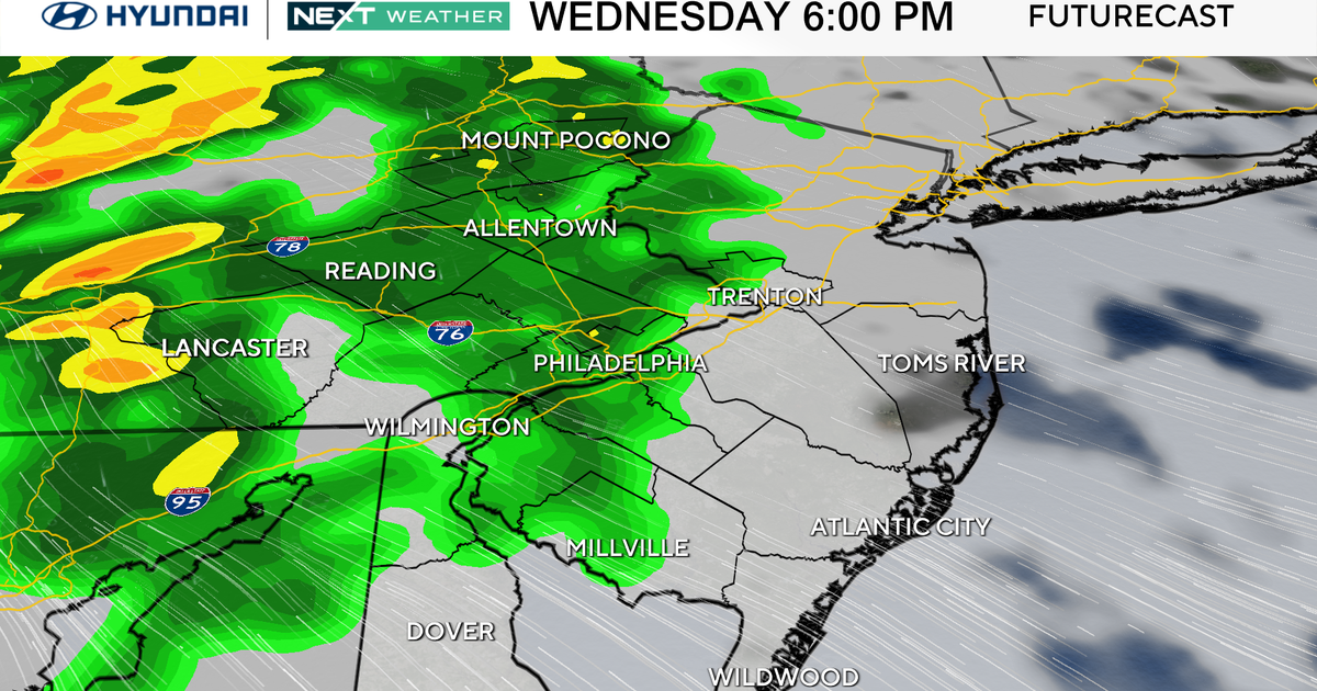
Steamy weather continues to move northward early Sunday morning and a look a the dew point readings across the map, we are seeing some 70 degree readings in and around the area. This is combining with some weak surface convergence and will produce showers and thunderstorms around the region. This convergence could be argued as a warm front with the dew point surge northward, but temperatures along the boundary are negligible from north to south. The only noticeable item along the boundary is the dew points rising.
There are and will continue to be showers and thunderstorms around Sunday morning with the airmass remaining unstable. There will be an increase in activity in the afternoon because of daytime heating and there could be some influence from a SW trough moving in from the west late in the day, but that wave will be moving through mostly at night.
So, if we had a meaningful trigger we'd probably have widespread heavy thunderstorms, some containing gusty winds and possibly hail, but at this point the biggest concern will be flash flooding with slow-moving storms and precipitable water over 2 inches. CAPE values range from 500 J/KG in the morning to just over 1000 J/KG in the afternoon. Now as we head into Sunday night the upper trough still lies to the west and while the models do show a diminishment in overall activity we should probably allow for some moderate to heavy thunderstorms in the early evening with lingering showers later on.
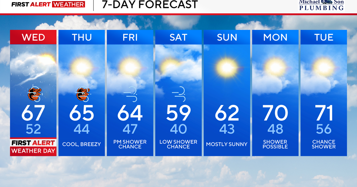
On Monday we are on the back side of the trough overall, but there still appears to be a tail end to the vort lobe around and there could still be a pop-up thunderstorm in the afternoon. It also will be hot. This pattern holds on into Tuesday.