Severe weather expected in Chicago area, with two rounds of storms bringing damaging winds, flash flooding


Severe weather is expected in the Chicago area Monday, with two rounds of storms that could bring damaging winds and flash flooding arriving midday and again in the evening.
The first round of showers and thunderstorms were expected to arrive between 11 a.m. and 1 p.m., spreading across much of the area through the morning hours. They are expected to move out of our area by about 2 p.m.
How much energy that first round of storms will take out of the atmosphere is not clear, and could impact just how bad the second round of storms will be.
By about 5 p.m. Monday , storms developing to the west and southwest are forecast to organize into a line as they move into the region.
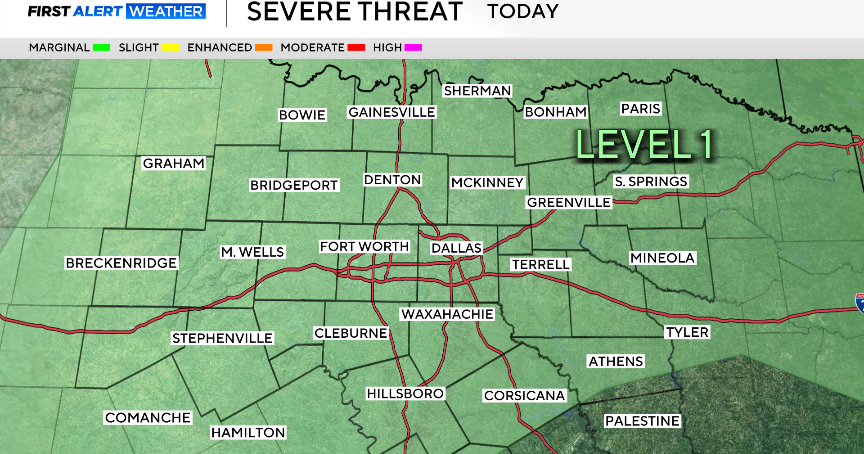
This second round between 5 p.m. and 10 p.m. poses the greater severe weather threat, with all hazards possible, including damaging winds, flash flooding, hail, and an isolated tornado risk.
The rounds of storms are part of a larger system moving through Missouri Monday morning. The strongest of the storms are expected to hit southern and central Illinois, where there are already Severe Thunderstorm Watches and Warnings, and tornado warnings.
Heavy rainfall is also a concern, with some areas potentially receiving over two inches, raising the risk for localized flooding.
Gusty south to southeast winds outside of storms could reach 35 to 40 mph.
Cooler, below-normal temperatures are expected later in the week, with frost possible by the weekend.