WEATHER BLOG: Spring?
There are some widely scattered snow showers and flurries occurring near the I-95 corridor early Thursday morning. These are not expected to generate any substantial accumulation (in fact, there may probably be nothing more than a coating on non-paved surfaces), but the bulk of the day will be brisk and much colder than recent days, even despite some sunshine.
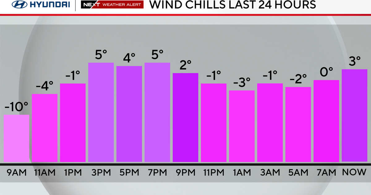
As a low pressure system begins to form out over the Atlantic Ocean Thursday morning, the precipitation will be consolidating over areas to the east of the Bay early Thursday and then the ocean itself in the afternoon. However, one of the "by-products" of this storm's development that will be felt around here is a brisk and cold wind out of the north and northwest. So, it will "feel like" it's in the 30s in most places Thursday afternoon, even though the sun will be out.
Friday, we anticipate a mix of clouds and sun, along with a chilly breeze. Most temperatures will be no higher than the upper 40s, and the wind should make it feel like its closer to 40 all day long.
The pattern will become more complicated again early next week, as a low pressure system that will be tracking across the southern tier of states late this weekend begins to make its move toward the East Coast. While the Carolinas, Virginia and other points well to our south may get the steadiest precipitation on Monday and Monday night, we still need to be talking now about some rain in Pennsylvania, southeastern New York, New Jersey and in Delaware -- it appears that rain will be the primary form of precipitation, but it could begin as a period of wet snow on Sunday night or Monday morning. More details on this as they become available.


