WEATHER BLOG: No Major Changes
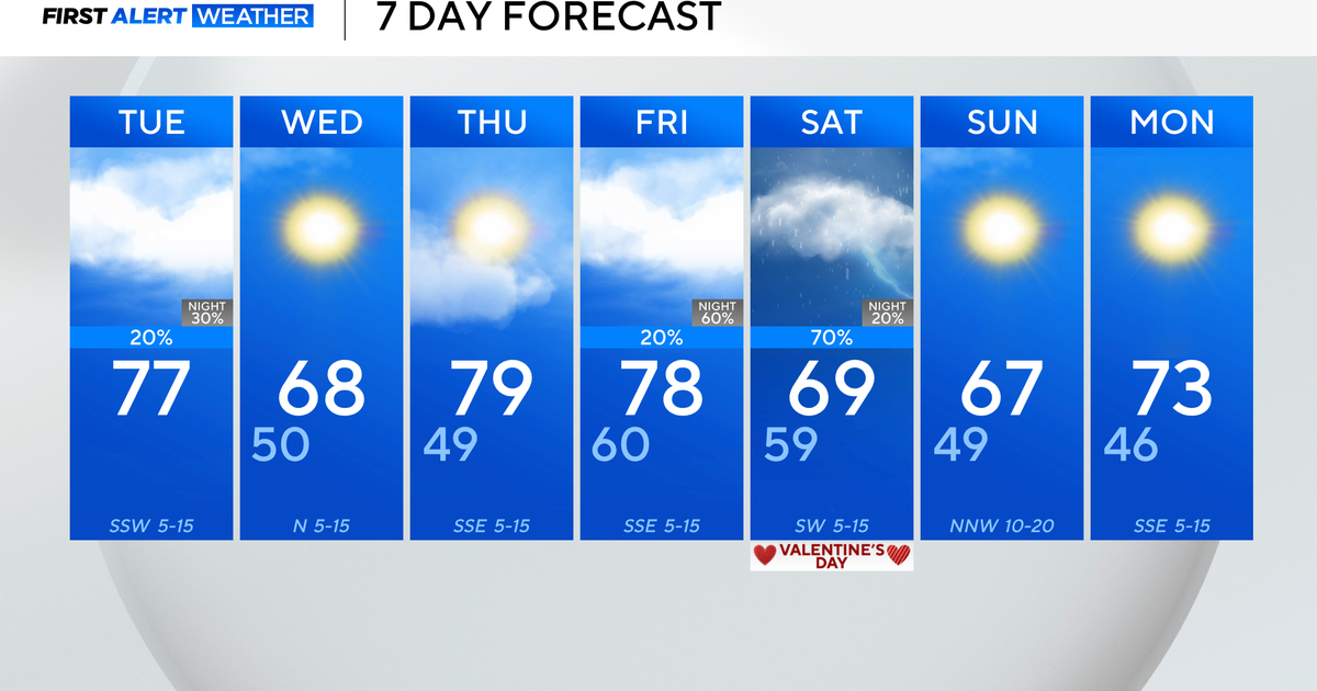
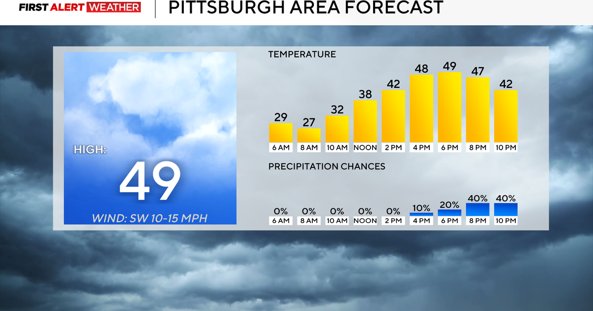
High pressure to our west Saturday morning will slide eastward across the mid-Atlantic and then scoot off to our east Saturday out ahead of a system that will bring us some rain for Easter Sunday. Some passing mid level clouds are in the area right now, but all in all, we expect a fair amount of sunshine for Saturday once these clouds push off to the east. With strong sunshine, we took highs up to around 60 for the afternoon at BWI as we topped out at 56 Friday. We expect to add a few to that Saturday, so 60 at BWI -- with bright sunshine this time of year and no foliage on the trees, seems like a day where temps can overachieve. It will then be mostly clear and calm Saturday night (although some clouds should filter in very late from the west), then clouds increase quickly Sunday morning so any sun early on gives way quickly to thickening clouds and by the late morning, rain will overspread the area from the west and southwest. The rain will continue into the evening Sunday night and then taper off...we expect a general rain amount of 1/4 to 1/2 inch...so a good soaking rainfall but nothing extremely heavy.
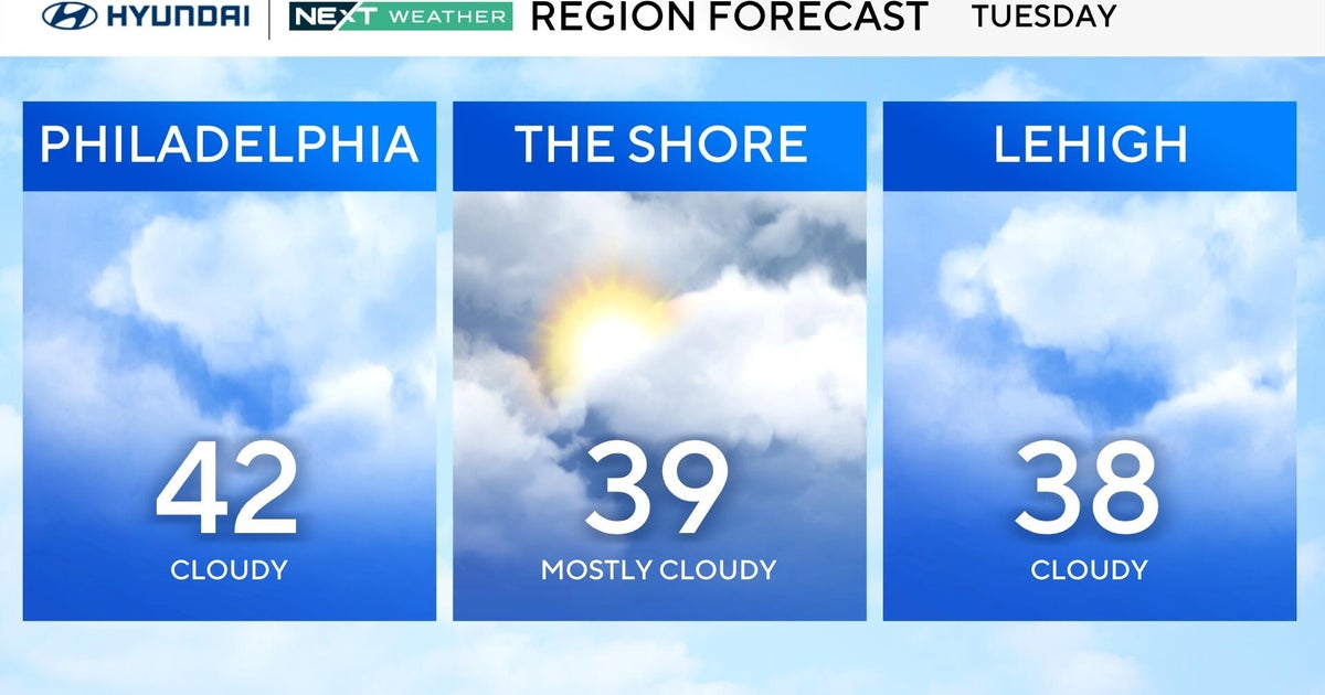
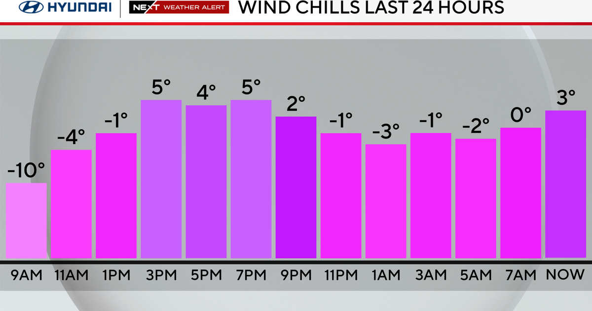
Some clearing will move in late Sunday night with a punch of drier air. But any sun Monday morning again gives way to increasing clouds out ahead of a frontal boundary that will pack some very chilly air for us for a few days next week by early April standards! As the front approaches, it could spark a few rain showers late Monday and Monday night. But showers will be somewhat sparse as the frontal boundary is packing very little moisture with it. It will turn breezy and sharply colder despite some sun on Tuesday as temps. dive by the end of the day Tuesday. It will be very cold for early April, but of course with the strong April sun temps get modified more at the surface than it would in January! Nonetheless, we are talking about brisk and cold days Tuesday and Wednesday with afternoon highs 10-15 below normal. The high scoots overhead on Thursday and then slides off to the east on Friday and Saturday (the blocking upstream has finally weakened some!) and this will allow the chilly air mass to quickly modify with the strong April sun and temps. should be near normal by the end of the forecast period.
Have a good day.


