WEATHER BLOG: Humidity Returns With A Vengeance
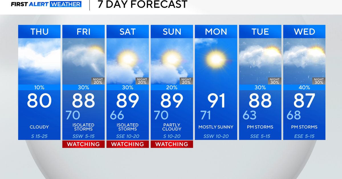
We are in the process of transitioning into a more humid weather pattern. High pressure that brought us nice weather yesterday has moved off the East Coast. Now we are getting into a southeast flow of more moist air on the backside of the departing high. Fairly high dew points will be in place through midweek. Scattered showers and t-storms will continue across the area tonight, we will have to continually monitor radars as well as short range models. The air mass is very juicy over us, so the potential does exist for drenching or even flooding downpours with any shower or t-storm. High pressure will dominate on Tuesday, but temps will be warm, approaching 90 in some spots.


