WEATHER BLOG: Gorgeous Sunday
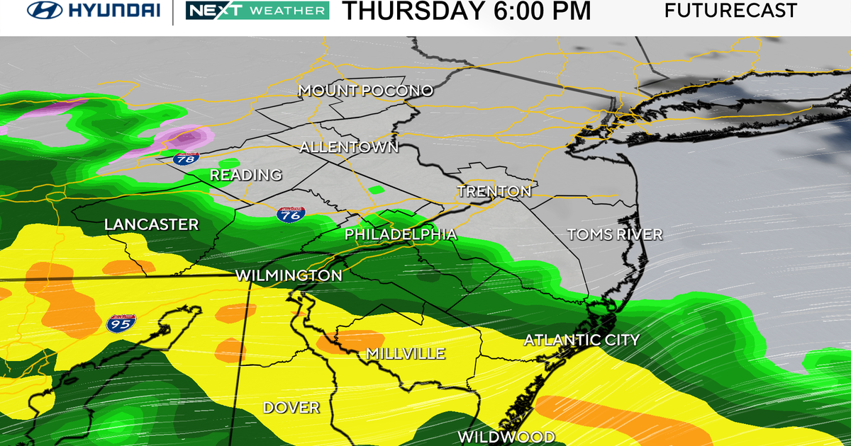
We are finishing out the weekend with mild day in February, albeit not as beautiful as Saturday. A few showers have passed through the region today, but as expected, the bulk of the rain has been down to our south. Cooler air will filter in overnight as we dry out and skies begin to clear. Lows will still be slightly above average, but we will be cooler relative to last night. We may have a few morning clouds around tomorrow, but overall a good deal of sunshine is expected for Monday. Highs will be seasonable and in the upper 40s to right aroun 50 degrees. The first of two systems will try to send some rain into the region Tuesday from our south while high pressure to our north fights to keep us dry. We are calling for at least a few showers Tuesday and a few wet snowflakes could mix in for areas north and possibly a little sleet too, but most areas see plain rain. The more potent of the two storms arrives on Wednesday. We will have a few showers around earlier in the day, followed by a brief lull with the heaviest rain arriving Wednesday afternoon and Wednesday night. This heavy rain could be accompanied by strong wind gusts and a few rumbles of thunder as well.