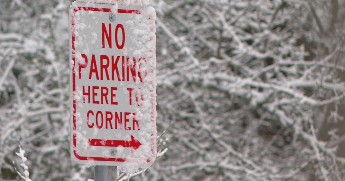
Rain/Snow Mix Comes To Maryland
BALTIMORE (WJZ) -- Winter isn't giving up yet. A rain/snow mix is coming to Maryland.
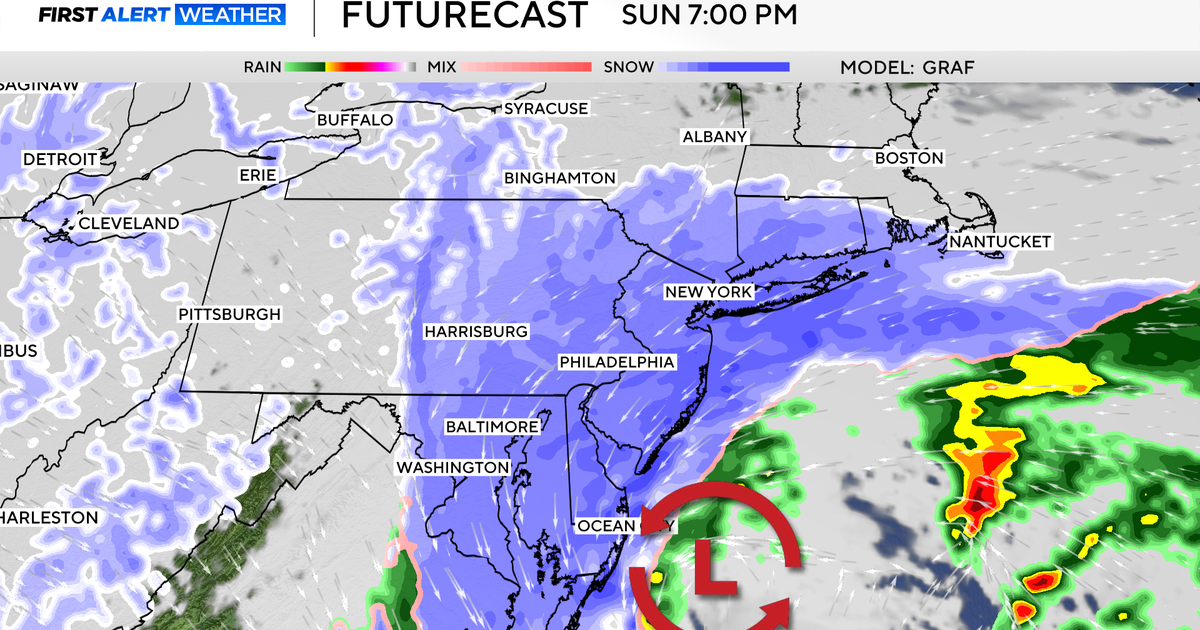
This will begin as rain late Sunday afternoon. Sunday evening, there will be a bit of mixed precip that will switch back and forth between rain and a rain/snow mix Monday. It will leave the area Monday evening.
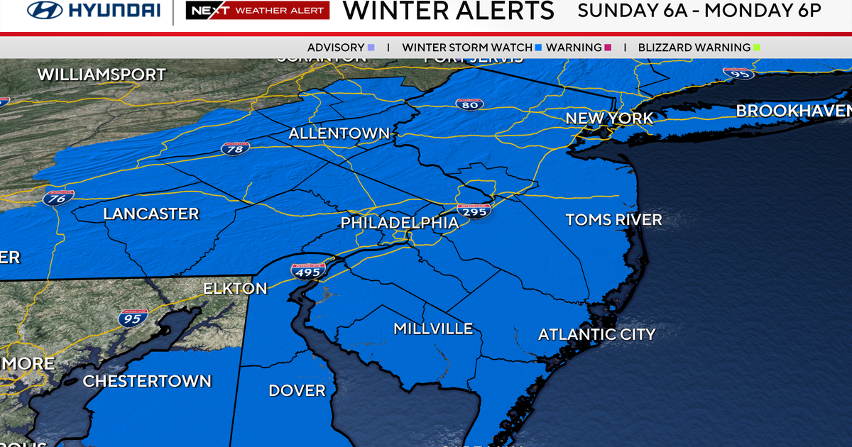
A Winter Storm Warning (Garrett and Allegany counties) and Winter Storm Advisory (northern Baltimore, Harford, Montgomery, Howard, Carroll, Frederick and Washington counties) go into effect Sunday evening and continue through Monday. Any rain will give way to a few inches of accumulating snow out west through Monday, with lingering snow showers into Tuesday that could add a little more. Farther east (Washington, Frederick, and Carroll, northern Baltimore, western Howard), the mix will change to snow overnight Sunday before changing back to rain Monday. There is the chance for a coating – small, slushy accumulation during the overnight hours – primarily on the unpaved surfaces.
Closer into Baltimore, there will be a rain/snow/sleet mix possibly going to snow for a time before changing back to rain Monday. Most roads will just be wet from this. There will be some mixing but even more rain in that mix south and east of the city.
WEATHER BLOG: Messy Mix On Its Way
No accumulations are expected and this will primarily be a rain event. Still, Monday morning's commute could be hazardous and drivers are expected to need extra time.
Tuesday will be partly sunny and warmer.
TIMELINE:
Late Sunday: There will be showers near sundown.
Overnight: There will be a rain/snow mix as temperatures drop.
Monday morning (including rush hour): Rain/snow mix, especially north, northwest and the top end of the Beltway.
Monday: Light accumulation mostly on grassy surfaces well north and northwest of the city in higher elevations until temps get above freezing.
Monday evening: The system winds down and starts moving offshore.
