New Winter Storm Warning Goes Into Effect For North Texas Tuesday Evening
"Heavy mixed precipitation" is expected with total snow accumulations of 2 to 6 inches with the heaviest amounts northeast of the Metroplex.
Watch CBS News
"Heavy mixed precipitation" is expected with total snow accumulations of 2 to 6 inches with the heaviest amounts northeast of the Metroplex.
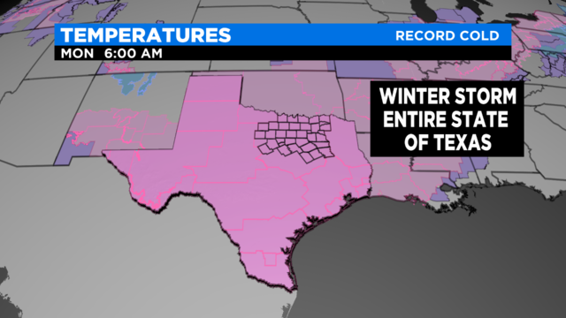
The entire state of Texas is under a winter storm warning as snow, ice and extremely cold temperatures threaten all 254 counties.
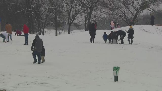
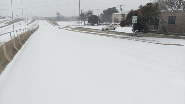
Snow arrived in parts of North Texas on Sunday as a winter storm warning is still in effect for western and southern counties and much of the Dallas/Fort Worth Metroplex is under a winter weather advisory.
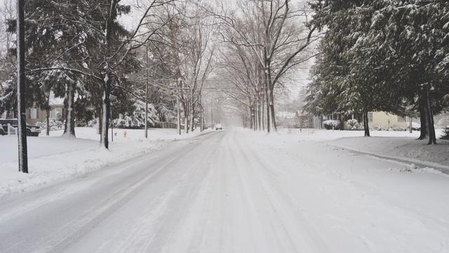
New Year's Eve began with snow falling in southwestern Texas, where forecasters say up to 18 inches could accumulate in higher elevations.
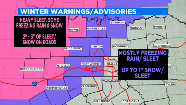
For the Metroplex it looks like Parker, Johnson, Tarrant, Wise and Denton counties will be most affected with Dallas, Collin and Ellis Counties getting a glancing blow.
The National Weather Service has issued a Winter Storm Warning and Winter Storm Watch from Wichita County to the northwest, to Tarrant County to the southeast.
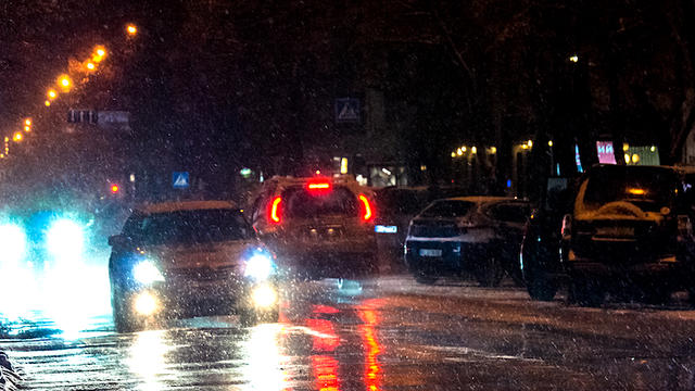
There are some things you should do (before you get in your vehicle and while behind the wheel) before setting off onto the roadways during winter weather.
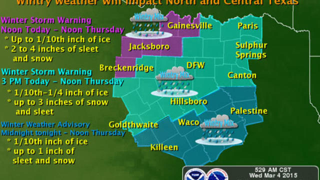
The National Weather Service in Fort Worth has issued a winter storm warning for freezing rain, sleet and snow. The warning begins at 3 p.m. Wednesday.
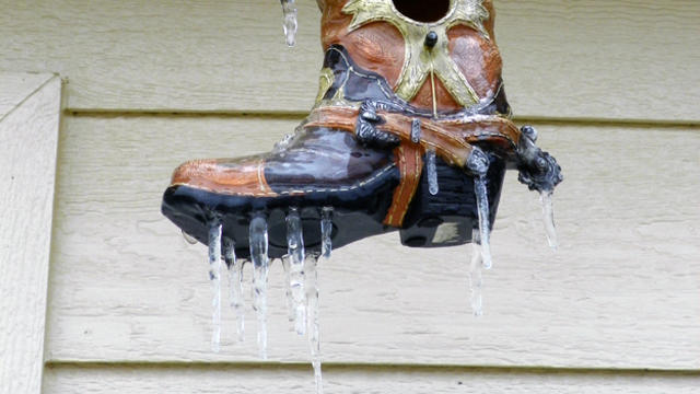
The arrival of spring may be only a month away but that's not preventing Old Man Winter from extending his icy grip across much of Texas.
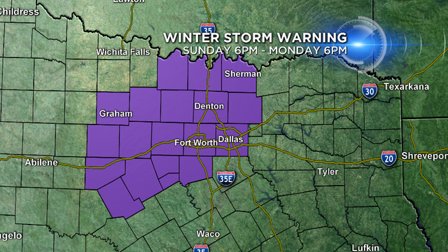
The Metro area is under a WINTER STORM WARNING from 6pm Sunday night until 6pm Monday night.
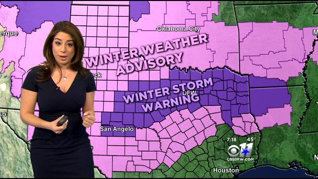
The Winter Storm Watch has been expanded to include more of North Texas.
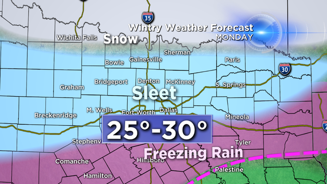
A WINTER STORM WATCH has been issued for parts of North Texas, including the DFW Metroplex Sunday evening through Monday.
Storm Team Blog: Larry Mowry's thoughts on the coming winter storm.